1 Arielle Way Sparta, NJ 07871
Estimated Value: $728,007 - $887,000
--
Bed
--
Bath
2,257
Sq Ft
$353/Sq Ft
Est. Value
About This Home
This home is located at 1 Arielle Way, Sparta, NJ 07871 and is currently estimated at $796,502, approximately $352 per square foot. 1 Arielle Way is a home located in Sussex County with nearby schools including Sparta High School.
Ownership History
Date
Name
Owned For
Owner Type
Purchase Details
Closed on
Jan 27, 1995
Sold by
Kasdagly Dino G and Kasdagly Patricia A
Bought by
Verwys Steven B and Verwys Bernice B
Current Estimated Value
Purchase Details
Closed on
Sep 22, 1993
Sold by
980 Sawyer Ltd Partnership
Bought by
Kasdagly Dino G and Kasdagly Patricia A
Home Financials for this Owner
Home Financials are based on the most recent Mortgage that was taken out on this home.
Original Mortgage
$159,000
Interest Rate
6.9%
Create a Home Valuation Report for This Property
The Home Valuation Report is an in-depth analysis detailing your home's value as well as a comparison with similar homes in the area
Home Values in the Area
Average Home Value in this Area
Purchase History
| Date | Buyer | Sale Price | Title Company |
|---|---|---|---|
| Verwys Steven B | $279,000 | -- | |
| Kasdagly Dino G | $259,000 | -- |
Source: Public Records
Mortgage History
| Date | Status | Borrower | Loan Amount |
|---|---|---|---|
| Previous Owner | Kasdagly Dino G | $159,000 |
Source: Public Records
Tax History Compared to Growth
Tax History
| Year | Tax Paid | Tax Assessment Tax Assessment Total Assessment is a certain percentage of the fair market value that is determined by local assessors to be the total taxable value of land and additions on the property. | Land | Improvement |
|---|---|---|---|---|
| 2025 | $14,912 | $415,500 | $179,600 | $235,900 |
| 2024 | $14,484 | $415,500 | $179,600 | $235,900 |
| 2023 | $14,484 | $415,500 | $179,600 | $235,900 |
| 2022 | $14,135 | $415,500 | $179,600 | $235,900 |
| 2021 | $13,911 | $415,500 | $179,600 | $235,900 |
| 2020 | $14,127 | $415,500 | $179,600 | $235,900 |
| 2019 | $13,761 | $415,500 | $179,600 | $235,900 |
| 2018 | $13,471 | $415,500 | $179,600 | $235,900 |
| 2017 | $13,304 | $415,500 | $179,600 | $235,900 |
| 2016 | $12,993 | $415,500 | $179,600 | $235,900 |
| 2015 | $13,510 | $347,400 | $107,700 | $239,700 |
| 2014 | $13,292 | $347,400 | $107,700 | $239,700 |
Source: Public Records
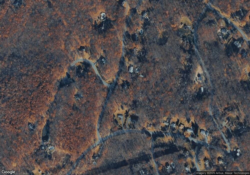
Map
Nearby Homes
- 16 Wildcat Rd
- 285 Wild Cat Rd
- 10 Avenue B
- 33 Glenbrook Rd
- 8 Plaskon Terrace
- 304 Houses Corner Rd
- 8 Triple Crown Dr
- 6 Spring St
- 270 Munsonhurst Rd
- 2 Lake Grinnell Ln
- 12 Richards St
- 9 Madden Ave
- 64 Edison Ave
- 49 Edison Ave
- 149 Maple Rd
- 10 Hemlock Dr
- 115 Scudders Rd
- 14 Sabine Ln
- 25 Graphic Blvd
- 10 Graphic Blvd
- 3 Arielle Way
- 66 Sterling Hill Rd
- 66 Sterling St
- 2 Silver Ln
- 72 Sterling Hill Rd
- 5 Arielle Way
- 80 Sterling Hill Rd
- 80 Sterling St
- 1 Silver Ln
- 3 Silver Ln
- 7 Arielle Way
- 84 Sterling Hill Rd
- 88 Sterling Hill Rd
- 4 Silver Ln
- 44 Wildcat Rd
- 4 Arielle Way
- 46 Silver Ln
- 90 Sterling Hill Rd
- 34 Wildcat Rd
- 30 Wildcat Rd