1 Cape View Dr Windham, ME 04062
Estimated Value: $2,712,000 - $3,365,596
3
Beds
2
Baths
955
Sq Ft
$3,182/Sq Ft
Est. Value
About This Home
This home is located at 1 Cape View Dr, Windham, ME 04062 and is currently estimated at $3,038,798, approximately $3,181 per square foot. 1 Cape View Dr is a home located in Cumberland County with nearby schools including Manchester School, Windham Primary School, and Windham Middle School.
Ownership History
Date
Name
Owned For
Owner Type
Purchase Details
Closed on
Oct 15, 2024
Sold by
Williams Christine C and Williams John C
Bought by
Cape View Llc
Current Estimated Value
Purchase Details
Closed on
Oct 30, 2008
Sold by
Clark Richard W
Bought by
Richard W Clark T
Create a Home Valuation Report for This Property
The Home Valuation Report is an in-depth analysis detailing your home's value as well as a comparison with similar homes in the area
Home Values in the Area
Average Home Value in this Area
Purchase History
| Date | Buyer | Sale Price | Title Company |
|---|---|---|---|
| Cape View Llc | -- | None Available | |
| Cape View Llc | -- | None Available | |
| Richard W Clark T | -- | -- | |
| Richard W Clark T W | -- | -- |
Source: Public Records
Tax History Compared to Growth
Tax History
| Year | Tax Paid | Tax Assessment Tax Assessment Total Assessment is a certain percentage of the fair market value that is determined by local assessors to be the total taxable value of land and additions on the property. | Land | Improvement |
|---|---|---|---|---|
| 2024 | $27,447 | $2,392,900 | $1,320,900 | $1,072,000 |
| 2023 | $25,225 | $2,252,200 | $1,227,800 | $1,024,400 |
| 2022 | $21,678 | $1,867,200 | $973,200 | $894,000 |
| 2021 | $18,862 | $1,497,000 | $753,400 | $743,600 |
| 2020 | $20,462 | $1,364,100 | $696,400 | $667,700 |
| 2019 | $19,553 | $1,335,600 | $696,400 | $639,200 |
| 2018 | $18,489 | $1,218,000 | $625,000 | $593,000 |
| 2017 | $17,759 | $1,080,900 | $546,000 | $534,900 |
| 2016 | $16,970 | $1,080,900 | $546,000 | $534,900 |
| 2015 | $16,376 | $1,080,900 | $546,000 | $534,900 |
| 2014 | $15,857 | $1,080,900 | $546,000 | $534,900 |
| 2013 | -- | $1,080,900 | $546,000 | $534,900 |
Source: Public Records
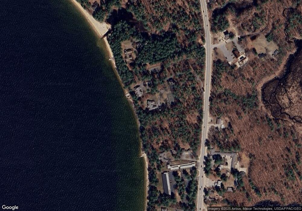
Map
Nearby Homes
- 1083 Roosevelt Trail
- 20 Bittersweet Way
- 1 Pine Ln
- 24 Hillside Dr
- 18 Hillside Dr
- 1042 Roosevelt Trail
- 16 Peterson Rd
- 107 Harvest Hill Rd
- lot #8 Bedrock Terrace
- 99 Enterprise Dr
- 35 Webbs Mills Rd
- 7 Salmon Run
- 36 Whites Bridge Rd Unit 8
- 79 Whites Point Rd
- 15 Worcester Dr
- 2 Flynn Rd
- 34 Trails End Rd
- 17 Blueberry Point Rd
- 7 Papoose Island Rd
- 72 Sand Beach Rd
- 1140 Roosevelt Trail
- 0 Lakin Brook Rd
- 5 Boathouse Beach Ln
- 5 Boathouse Beach Ln
- 1 Boathouse Beach Ln Unit 27
- 1 Boathouse Beach Ln Unit 27
- 1112 Roosevelt Trail Unit 28
- 1112 Roosevelt Trail Unit 27
- 1112 Roosevelt Trail Unit 26
- 1112 Roosevelt Trail Unit 24
- 1112 Roosevelt Trail Unit 23
- 1112 Roosevelt Trail Unit 22
- 1112 Roosevelt Trail Unit 21
- 1112 Roosevelt Trail Unit 20
- 1112 Roosevelt Trail Unit 19
- 1112 Roosevelt Trail Unit 18
- 1112 Roosevelt Trail Unit 17
- 1112 Roosevelt Trail Unit 16
- 1112 Roosevelt Trail Unit 15
- 1112 Roosevelt Trail Unit 14