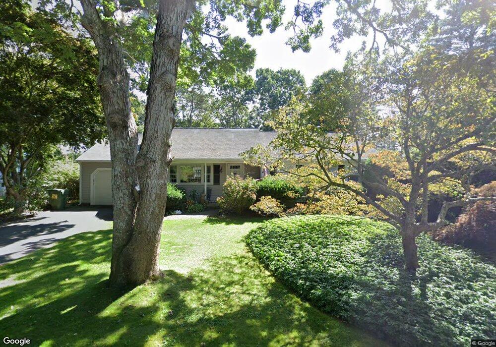
1 Hawthorne Rd Yarmouth Port, MA 02675
Yarmouth Port NeighborhoodEstimated Value: $576,000 - $712,000
3
Beds
2
Baths
1,152
Sq Ft
$565/Sq Ft
Est. Value
About This Home
This home is located at 1 Hawthorne Rd, Yarmouth Port, MA 02675 and is currently estimated at $650,369, approximately $564 per square foot. 1 Hawthorne Rd is a home located in Barnstable County with nearby schools including Dennis-Yarmouth Regional High School and St. Pius X. School.
Ownership History
Date
Name
Owned For
Owner Type
Purchase Details
Closed on
Feb 19, 2010
Sold by
Mcclay Gregory T
Bought by
Catalano Dennis F and Catalano Betty Anne
Current Estimated Value
Home Financials for this Owner
Home Financials are based on the most recent Mortgage that was taken out on this home.
Original Mortgage
$90,000
Outstanding Balance
$59,981
Interest Rate
5.17%
Mortgage Type
Purchase Money Mortgage
Estimated Equity
$590,388
Purchase Details
Closed on
Jul 29, 1999
Sold by
Harris Barbara J
Bought by
Mcclay Gregory T and Mcclay Diane M
Home Financials for this Owner
Home Financials are based on the most recent Mortgage that was taken out on this home.
Original Mortgage
$96,000
Interest Rate
7.61%
Mortgage Type
Purchase Money Mortgage
Create a Home Valuation Report for This Property
The Home Valuation Report is an in-depth analysis detailing your home's value as well as a comparison with similar homes in the area
Home Values in the Area
Average Home Value in this Area
Purchase History
| Date | Buyer | Sale Price | Title Company |
|---|---|---|---|
| Catalano Dennis F | $302,500 | -- | |
| Mcclay Gregory T | $120,000 | -- |
Source: Public Records
Mortgage History
| Date | Status | Borrower | Loan Amount |
|---|---|---|---|
| Open | Catalano Dennis F | $90,000 | |
| Previous Owner | Mcclay Gregory T | $150,000 | |
| Previous Owner | Mcclay Gregory T | $16,000 | |
| Previous Owner | Mcclay Gregory T | $96,000 |
Source: Public Records
Tax History Compared to Growth
Tax History
| Year | Tax Paid | Tax Assessment Tax Assessment Total Assessment is a certain percentage of the fair market value that is determined by local assessors to be the total taxable value of land and additions on the property. | Land | Improvement |
|---|---|---|---|---|
| 2025 | $3,822 | $539,800 | $166,300 | $373,500 |
| 2024 | $3,602 | $488,100 | $144,700 | $343,400 |
| 2023 | $3,867 | $476,800 | $131,500 | $345,300 |
| 2022 | $3,681 | $401,000 | $125,500 | $275,500 |
| 2021 | $3,436 | $359,400 | $125,500 | $233,900 |
| 2020 | $3,418 | $341,800 | $132,800 | $209,000 |
| 2019 | $3,150 | $311,900 | $132,800 | $179,100 |
| 2018 | $2,981 | $289,700 | $110,600 | $179,100 |
| 2017 | $2,903 | $289,700 | $110,600 | $179,100 |
| 2016 | $2,803 | $280,900 | $101,800 | $179,100 |
| 2015 | $2,619 | $260,900 | $97,400 | $163,500 |
Source: Public Records
Map
Nearby Homes
- 44 Stratford Ln
- 86 Pompano Rd
- 43 Canterbury Rd
- 6 Nimble Hill Dr
- 34 Kates Path
- 34 Kates Path Unit 34
- 64 Kates Path
- 17 Kates Path Unit A
- 228 Kates Path
- 111 Merchant Ave
- 25 Oak Glen Village Unit 25
- 25 Oak Glen
- 1 Barnacle Rd
- 50 John Hall Cartway
- 50 John Hall Cartway Unit 50
- 42 John Hall Cartway Unit 42
- 7 Forest Gate Unit 7
- 13 Covey Dr
- 59 Main St Unit 19-2
- 59 Route 6a Unit 29-4