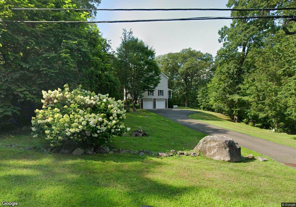
1 Maple Rd Mahwah, NJ 07430
Estimated Value: $659,000 - $941,000
--
Bed
--
Bath
2,240
Sq Ft
$357/Sq Ft
Est. Value
About This Home
This home is located at 1 Maple Rd, Mahwah, NJ 07430 and is currently estimated at $799,214, approximately $356 per square foot. 1 Maple Rd is a home located in Bergen County with nearby schools including Mahwah High School.
Ownership History
Date
Name
Owned For
Owner Type
Purchase Details
Closed on
May 15, 2023
Sold by
Sluszniak Jean Paul
Bought by
Sluszniak- Jean Paul and Getrajdman Jamie Caputo
Current Estimated Value
Purchase Details
Closed on
Jan 11, 2021
Sold by
Sluszniak Jean Paul and Sluszniak Renee
Bought by
Sluszniak Jean Paul
Home Financials for this Owner
Home Financials are based on the most recent Mortgage that was taken out on this home.
Original Mortgage
$401,000
Interest Rate
2.7%
Mortgage Type
New Conventional
Purchase Details
Closed on
Feb 11, 2011
Bought by
Sluszniak J.P. and Sluszniak R.
Home Financials for this Owner
Home Financials are based on the most recent Mortgage that was taken out on this home.
Original Mortgage
$251,266
Interest Rate
4.75%
Mortgage Type
Unknown
Purchase Details
Closed on
Nov 5, 2001
Sold by
English Whittie
Bought by
Sluszniak Jean P and Sluszniak Renee
Create a Home Valuation Report for This Property
The Home Valuation Report is an in-depth analysis detailing your home's value as well as a comparison with similar homes in the area
Home Values in the Area
Average Home Value in this Area
Purchase History
| Date | Buyer | Sale Price | Title Company |
|---|---|---|---|
| Sluszniak- Jean Paul | -- | None Listed On Document | |
| Sluszniak Jean Paul | -- | None Listed On Document | |
| Sluszniak J.P. | -- | -- | |
| Sluszniak Jean P | $45,000 | -- |
Source: Public Records
Mortgage History
| Date | Status | Borrower | Loan Amount |
|---|---|---|---|
| Previous Owner | Sluszniak Jean Paul | $401,000 | |
| Previous Owner | Sluszniak J.P. | $251,266 |
Source: Public Records
Tax History Compared to Growth
Tax History
| Year | Tax Paid | Tax Assessment Tax Assessment Total Assessment is a certain percentage of the fair market value that is determined by local assessors to be the total taxable value of land and additions on the property. | Land | Improvement |
|---|---|---|---|---|
| 2025 | $8,136 | $394,200 | $168,400 | $225,800 |
| 2024 | $8,030 | $394,200 | $168,400 | $225,800 |
| 2023 | $7,774 | $394,200 | $168,400 | $225,800 |
| 2022 | $7,774 | $394,200 | $168,400 | $225,800 |
| 2021 | $7,691 | $394,200 | $168,400 | $225,800 |
| 2020 | $7,506 | $394,200 | $168,400 | $225,800 |
| 2019 | $7,257 | $394,200 | $168,400 | $225,800 |
| 2018 | $7,155 | $394,200 | $168,400 | $225,800 |
| 2017 | $7,040 | $394,200 | $168,400 | $225,800 |
| 2016 | $6,887 | $394,200 | $168,400 | $225,800 |
| 2015 | $6,792 | $394,200 | $168,400 | $225,800 |
| 2014 | $6,678 | $394,200 | $168,400 | $225,800 |
Source: Public Records
Map
Nearby Homes
- 0 Crest Rd Unit 24012438
- 125 Eastview Dr
- 11 Split Rock Rd
- 0 Stag Hill Rd
- 23 Mountain Ave
- 175 Old Route 17
- 165 Route 17
- 43 Rockland Ave
- 145 Route 17
- 1 Springhouse Rd
- 7 Springhouse Rd
- 6 Old Cranberry Rd
- 17 W Maple Ave
- 23 Meadow Ave
- 13 Jersey Ave
- 35 Park Ave Unit 5N
- 145 Catherine Ave
- 59 E Maple Ave
- 3 Cross St Unit 302C
- 9 Pierson Lakes Rd