1 Randall Ln Collinsville, IL 62234
Estimated Value: $148,000 - $242,880
3
Beds
2
Baths
1,356
Sq Ft
$152/Sq Ft
Est. Value
About This Home
This home is located at 1 Randall Ln, Collinsville, IL 62234 and is currently estimated at $205,970, approximately $151 per square foot. 1 Randall Ln is a home with nearby schools including Summit Elementary School, Dorris Intermediate School, and Collinsville Middle School.
Ownership History
Date
Name
Owned For
Owner Type
Purchase Details
Closed on
Jan 12, 2021
Sold by
Durham Lisa
Bought by
Durham Jacob S
Current Estimated Value
Purchase Details
Closed on
Jun 20, 2019
Sold by
Peggy S Marquart
Bought by
Hannon Joshua J and Hannon Hailey M
Home Financials for this Owner
Home Financials are based on the most recent Mortgage that was taken out on this home.
Original Mortgage
$93,000
Outstanding Balance
$81,604
Interest Rate
4%
Mortgage Type
New Conventional
Estimated Equity
$124,366
Purchase Details
Closed on
Mar 24, 2006
Sold by
Buchanan Wallace Development
Bought by
Orozco Pablo
Create a Home Valuation Report for This Property
The Home Valuation Report is an in-depth analysis detailing your home's value as well as a comparison with similar homes in the area
Home Values in the Area
Average Home Value in this Area
Purchase History
| Date | Buyer | Sale Price | Title Company |
|---|---|---|---|
| Durham Jacob S | -- | None Available | |
| Hannon Joshua J | -- | Pontoon Title | |
| Hannon Joshua J | $50,000 | Pontoon Title | |
| Orozco Pablo | $38,500 | Abstracts & Titles Inc |
Source: Public Records
Mortgage History
| Date | Status | Borrower | Loan Amount |
|---|---|---|---|
| Open | Hannon Joshua J | $93,000 | |
| Closed | Hannon Joshua J | $93,000 |
Source: Public Records
Tax History Compared to Growth
Tax History
| Year | Tax Paid | Tax Assessment Tax Assessment Total Assessment is a certain percentage of the fair market value that is determined by local assessors to be the total taxable value of land and additions on the property. | Land | Improvement |
|---|---|---|---|---|
| 2024 | $3,856 | $66,310 | $25,570 | $40,740 |
| 2023 | $3,856 | $61,380 | $23,670 | $37,710 |
| 2022 | $3,645 | $39,470 | $21,180 | $18,290 |
| 2021 | $2,147 | $37,080 | $19,900 | $17,180 |
| 2020 | $2,051 | $35,380 | $18,990 | $16,390 |
| 2019 | $1,630 | $34,170 | $18,340 | $15,830 |
| 2018 | $2,309 | $45,630 | $14,620 | $31,010 |
| 2017 | $2,518 | $44,720 | $14,330 | $30,390 |
| 2016 | $2,635 | $44,720 | $14,330 | $30,390 |
| 2015 | $2,437 | $43,560 | $13,960 | $29,600 |
| 2014 | $2,437 | $43,560 | $13,960 | $29,600 |
| 2013 | $2,437 | $43,560 | $13,960 | $29,600 |
Source: Public Records
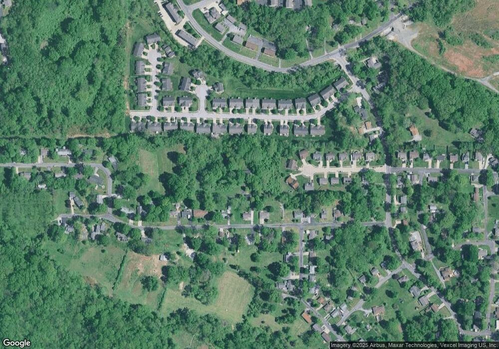
Map
Nearby Homes
- 1121 Carraway Ct
- 1059 Lafayette Ct Unit A
- 1035 Lafayette Ct Unit B
- 1051 Lafayette Ct Unit A
- 100 Debbie Dr
- 5 Brookwood Dr
- 123 Elliot St
- 22 Brookwood Dr
- 510 N Combs Ave
- 0 Strong Ave
- 580 N Guernsey St
- 300 N Combs Ave
- 0 Elm St
- 123 W Wickliffe Ave
- 414 Bunker Hill Dr
- 2007 Belt Line Rd
- 108 Westridge Dr
- 205 Audrey Ave
- 1224 Cedar Ridge Ct
- 221 N Hesperia St Unit 221 A and 221 B
- 1007 Alco Dr
- 1011 Alco Dr
- 1024 Notting Hill Ct Unit 1026
- 11 Summit Trail Ct
- 1022 Notting Hill Ct
- 1005 Alco Dr
- 1024 Notting Hill Rd
- 1030 Notting Hill Ct
- 1028 Notting Hill Ct
- 1020 Notting Hill Ct Unit 1022
- 1032 Notting Hill Ct Unit 1034
- 9 Summit Trail Ct
- 1015 Alco Dr
- 1018 Notting Hill Ct
- 1020 Notting Hill Rd
- 1034 Notting Hill Ct
- 1018 Notting Hill Rd
- 1016 Notting Hill Ct Unit 1018
- 1036 Notting Hill Ct Unit 1038
- 1001 Alco Dr