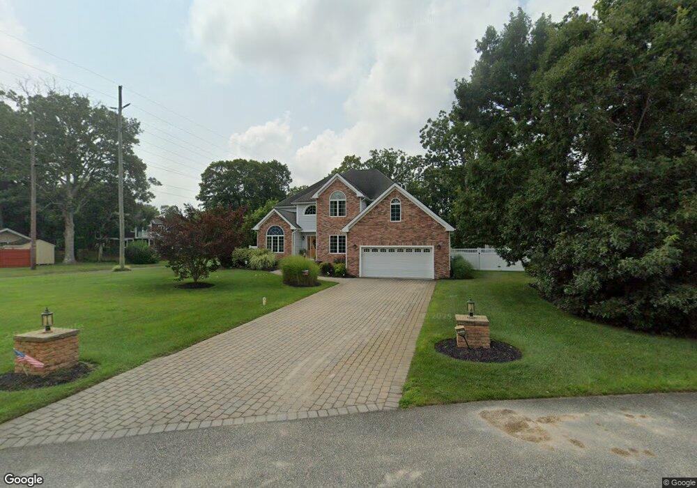
1 Sand Castle Dr Cape May Court House, NJ 08210
Estimated Value: $684,851 - $890,000
--
Bed
--
Bath
2,736
Sq Ft
$286/Sq Ft
Est. Value
About This Home
This home is located at 1 Sand Castle Dr, Cape May Court House, NJ 08210 and is currently estimated at $781,463, approximately $285 per square foot. 1 Sand Castle Dr is a home with nearby schools including Middle Township Elementary No. 1, Middle Township Elementary No. 2, and Middle Township Middle School.
Ownership History
Date
Name
Owned For
Owner Type
Purchase Details
Closed on
Jul 16, 2013
Sold by
Fulton Bank Of New Jersey
Bought by
Smith Andrew R and Smith Rebecca L
Current Estimated Value
Home Financials for this Owner
Home Financials are based on the most recent Mortgage that was taken out on this home.
Original Mortgage
$298,400
Outstanding Balance
$217,439
Interest Rate
3.97%
Mortgage Type
New Conventional
Estimated Equity
$564,024
Purchase Details
Closed on
Nov 27, 2012
Sold by
Farrell Ralph
Bought by
Fulton Bank Of New Jersey
Create a Home Valuation Report for This Property
The Home Valuation Report is an in-depth analysis detailing your home's value as well as a comparison with similar homes in the area
Home Values in the Area
Average Home Value in this Area
Purchase History
| Date | Buyer | Sale Price | Title Company |
|---|---|---|---|
| Smith Andrew R | $373,000 | None Available | |
| Fulton Bank Of New Jersey | -- | Midlantic Title |
Source: Public Records
Mortgage History
| Date | Status | Borrower | Loan Amount |
|---|---|---|---|
| Open | Smith Andrew R | $298,400 |
Source: Public Records
Tax History Compared to Growth
Tax History
| Year | Tax Paid | Tax Assessment Tax Assessment Total Assessment is a certain percentage of the fair market value that is determined by local assessors to be the total taxable value of land and additions on the property. | Land | Improvement |
|---|---|---|---|---|
| 2025 | $8,596 | $407,600 | $151,100 | $256,500 |
| 2024 | $8,596 | $407,600 | $151,100 | $256,500 |
| 2023 | $8,380 | $407,600 | $151,100 | $256,500 |
| 2022 | $8,140 | $407,600 | $151,100 | $256,500 |
| 2021 | $7,944 | $407,600 | $151,100 | $256,500 |
| 2020 | $7,781 | $407,600 | $151,100 | $256,500 |
| 2019 | $7,581 | $407,600 | $151,100 | $256,500 |
| 2018 | $7,463 | $407,600 | $151,100 | $256,500 |
| 2017 | $7,269 | $405,200 | $151,100 | $254,100 |
| 2016 | $7,087 | $405,200 | $151,100 | $254,100 |
| 2015 | $7,034 | $405,200 | $151,100 | $254,100 |
| 2014 | $6,990 | $395,300 | $151,100 | $244,200 |
Source: Public Records
Map
Nearby Homes
- 311 Court House Dennis Rd
- 311 S Dennis Rd
- 416 Goshen Rd
- 430 Route 9 N
- 430 Route 9 N Unit 45
- 23 Acorn Ln
- 24 Church St
- 4 Railroad Ave
- 13 Poplar St
- 390 Court House South Dennis Rd
- 416 Hand Ave
- 220 Hand Ave
- 26 Crest Rd
- 506 Hand Ave
- 90 Wynndemere Ct
- 00 Clinton
- 0 Detroit Unit 232200
- 11 Harbor Crossings
- 00 Clinton Ave
- 0 Detroit Unit 232199