1 Woodbury Ln North Dartmouth, MA 02747
Estimated Value: $1,287,000 - $1,555,161
4
Beds
5
Baths
4,800
Sq Ft
$287/Sq Ft
Est. Value
About This Home
This home is located at 1 Woodbury Ln, North Dartmouth, MA 02747 and is currently estimated at $1,378,290, approximately $287 per square foot. 1 Woodbury Ln is a home located in Bristol County with nearby schools including Dartmouth High School and Bishop Stang High School.
Ownership History
Date
Name
Owned For
Owner Type
Purchase Details
Closed on
Nov 8, 2023
Sold by
Bolarinho Luis A and Jpmorgan Chase Bank Na
Bought by
Jpmorgan Chase Bank Na
Current Estimated Value
Purchase Details
Closed on
Aug 19, 2013
Sold by
Bolarinho Luis A and New England Phoenix Co
Bought by
Woodbury Rt and Im
Purchase Details
Closed on
Nov 13, 2003
Sold by
Ferris Elissa M and Ferris Monte C
Bought by
Bolarinho Luis A and Bolarinho Shelly
Purchase Details
Closed on
Dec 1, 2000
Sold by
Pine Ridge Commons Llc
Bought by
Ferris Monte C and Ferris Elissa M
Create a Home Valuation Report for This Property
The Home Valuation Report is an in-depth analysis detailing your home's value as well as a comparison with similar homes in the area
Home Values in the Area
Average Home Value in this Area
Purchase History
| Date | Buyer | Sale Price | Title Company |
|---|---|---|---|
| Jpmorgan Chase Bank Na | $1,180,000 | None Available | |
| Jpmorgan Chase Bank Na | $1,180,000 | None Available | |
| Woodbury Rt | $30,000 | -- | |
| Bolarinho Luis A | $190,000 | -- | |
| Ferris Monte C | $102,000 | -- | |
| Woodbury Rt | $30,000 | -- | |
| Bolarinho Luis A | $190,000 | -- |
Source: Public Records
Mortgage History
| Date | Status | Borrower | Loan Amount |
|---|---|---|---|
| Previous Owner | Ferris Monte C | $750,000 | |
| Previous Owner | Ferris Monte C | $444,000 |
Source: Public Records
Tax History Compared to Growth
Tax History
| Year | Tax Paid | Tax Assessment Tax Assessment Total Assessment is a certain percentage of the fair market value that is determined by local assessors to be the total taxable value of land and additions on the property. | Land | Improvement |
|---|---|---|---|---|
| 2025 | $14,206 | $1,540,800 | $324,800 | $1,216,000 |
| 2024 | $13,678 | $1,477,100 | $315,700 | $1,161,400 |
| 2023 | $12,965 | $1,309,600 | $241,700 | $1,067,900 |
| 2022 | $12,068 | $1,122,600 | $241,700 | $880,900 |
| 2021 | $11,657 | $1,048,300 | $215,700 | $832,600 |
| 2020 | $11,410 | $1,020,600 | $225,400 | $795,200 |
| 2019 | $10,603 | $950,900 | $209,800 | $741,100 |
| 2018 | $10,827 | $967,000 | $209,800 | $757,200 |
| 2017 | $10,389 | $954,900 | $205,500 | $749,400 |
| 2016 | $10,667 | $968,000 | $210,700 | $757,300 |
| 2015 | $10,485 | $953,200 | $187,800 | $765,400 |
| 2014 | $10,280 | $931,200 | $182,800 | $748,400 |
Source: Public Records
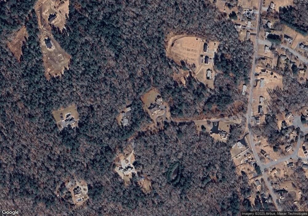
Map
Nearby Homes
- 14 Westview Dr
- 219 Chase Rd
- 10 Westview Dr
- Lot 6 Rafael Rd
- 24 Wayne Memorial Dr
- 320 Old Westport Rd
- 312 Old Westport Rd
- 310 Old Westport Rd
- 53 Morton Ave
- 34 Country Way
- 360 Russells Mills Rd
- 135 Old Westport Rd
- 117 Old Westport Rd
- 6 Strathmore Rd
- 1004 Allen St
- 75 Country Way Unit 75
- 1150 Russells Mills Rd
- 5 Samosett Dr
- 3 Mishawum Dr
- 65 Cross Rd