Estimated Value: $270,000 - $300,000
--
Bed
3
Baths
2,300
Sq Ft
$122/Sq Ft
Est. Value
About This Home
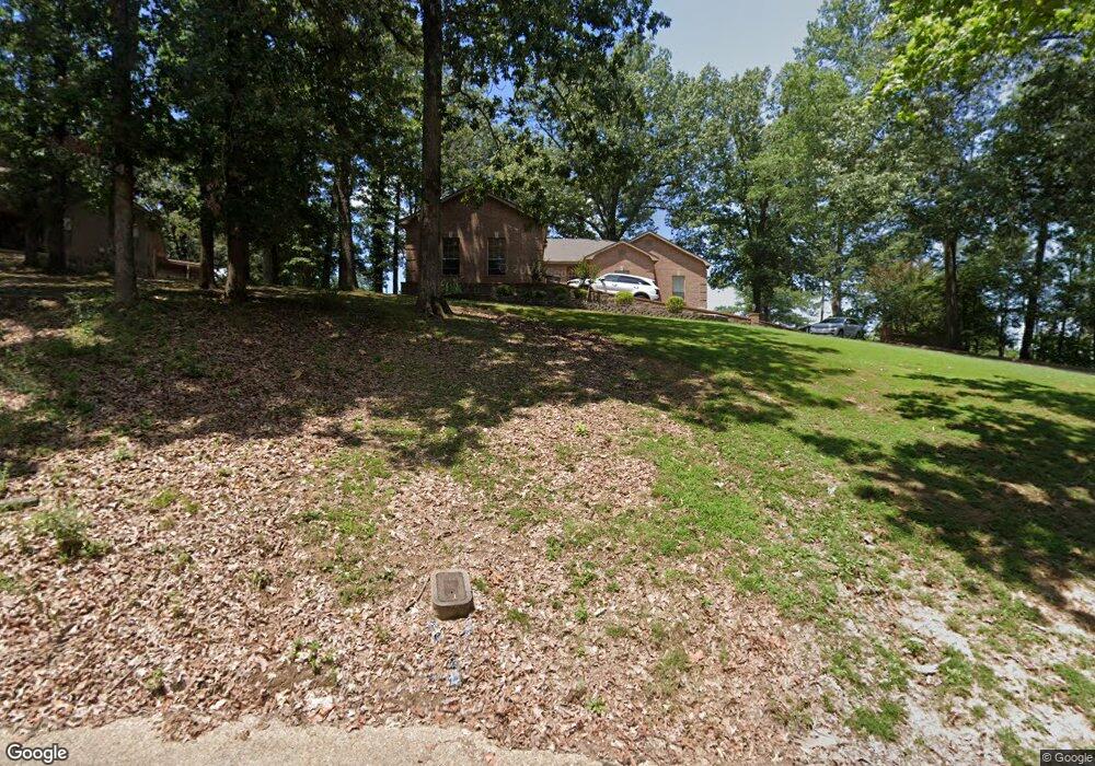
This home is located at 1 Woodlawn Cir, Wynne, AR 72396 and is currently estimated at $280,380, approximately $121 per square foot. 1 Woodlawn Cir is a home located in Cross County with nearby schools including Wynne Intermediate School, Wynne Primary School, and Wynne Junior High School.
Ownership History
Date
Name
Owned For
Owner Type
Purchase Details
Closed on
Jul 29, 2002
Bought by
Matthews Terris G
Current Estimated Value
Purchase Details
Closed on
Jun 26, 2002
Bought by
Cendant Mobility and % Mid-South Title Co.
Purchase Details
Closed on
Feb 22, 2000
Bought by
Celestin Paul M
Purchase Details
Closed on
Dec 16, 1996
Bought by
Pojar Robert Lynn and Pojar Sherrill A
Purchase Details
Closed on
Sep 29, 1995
Bought by
South Jimmy D
Create a Home Valuation Report for This Property
The Home Valuation Report is an in-depth analysis detailing your home's value as well as a comparison with similar homes in the area
Home Values in the Area
Average Home Value in this Area
Purchase History
| Date | Buyer | Sale Price | Title Company |
|---|---|---|---|
| Matthews Terris G | $147,000 | -- | |
| Cendant Mobility | $164,000 | -- | |
| Celestin Paul M | $140,000 | -- | |
| Pojar Robert Lynn | $145,000 | -- | |
| South Jimmy D | $10,000 | -- |
Source: Public Records
Tax History Compared to Growth
Tax History
| Year | Tax Paid | Tax Assessment Tax Assessment Total Assessment is a certain percentage of the fair market value that is determined by local assessors to be the total taxable value of land and additions on the property. | Land | Improvement |
|---|---|---|---|---|
| 2024 | $1,331 | $37,070 | $4,960 | $32,110 |
| 2023 | $1,410 | $37,070 | $4,960 | $32,110 |
| 2022 | $1,460 | $37,070 | $4,960 | $32,110 |
| 2021 | $1,396 | $37,070 | $4,960 | $32,110 |
| 2020 | $1,315 | $37,070 | $4,960 | $32,110 |
| 2019 | $1,235 | $32,520 | $4,090 | $28,430 |
| 2018 | $1,260 | $32,520 | $4,090 | $28,430 |
| 2017 | $1,260 | $32,520 | $4,090 | $28,430 |
| 2016 | $1,260 | $32,520 | $4,090 | $28,430 |
| 2015 | $1,260 | $32,520 | $4,090 | $28,430 |
| 2014 | $1,301 | $33,350 | $5,000 | $28,350 |
Source: Public Records
Map
Nearby Homes
- 29 Sunset Dr
- 1011 Hilltop Dr
- 1910 Hess Ln
- 6 A Londonderry Cir
- 1404 Airpark Rd
- 1310 Bridges Ave E
- 1201 Peterson Dr
- 1484 Hamilton Ave E
- 568 Killough Rd N
- 2 Donegal Cir
- 1308 Killough Rd N
- 1003 Oakwood Dr
- 226 Nathan Dr E
- 108 Nathan Dr E
- 206 Maple Dr
- 1737 Peterson Rd
- 1405 Peterson Rd
- 102 Lombardy Ln
- 109 Nathan Dr E
- 1008 Languille Ave E
- 1601 Airpark Rd
- 3 Woodlawn Cir
- 28 Sunset Dr
- 27 Sunset Dr
- 6 Woodlawn Cir
- 5 Woodlawn Cir
- 26 Sunset Dr
- 1801 Airpark Rd
- 34 Morningside Dr
- 0 Airpark Rd
- 36 Morningside Dr
- 30 Sunset Dr
- 30 Morningside Dr
- 41 Morningside Dr
- 1805 Airpark Rd
- 35 Sunset Dr
- 24 Sunset Dr
- 14 Briarcliff Cir
- 1423 Airpark Rd
- 20 Sunset Dr