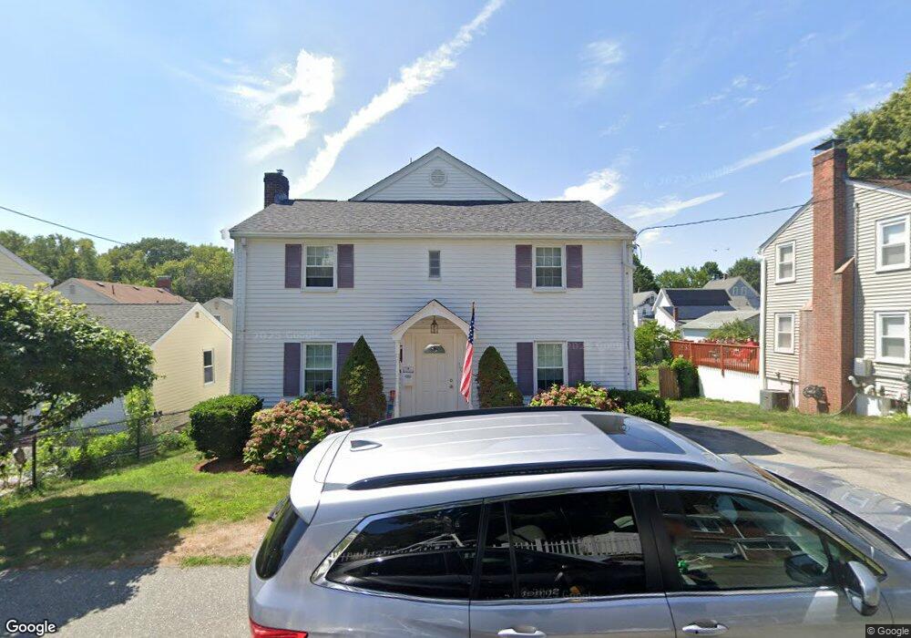
10 Barry St Quincy, MA 02169
South Quincy NeighborhoodEstimated Value: $642,000 - $857,000
3
Beds
3
Baths
1,964
Sq Ft
$383/Sq Ft
Est. Value
About This Home
This home is located at 10 Barry St, Quincy, MA 02169 and is currently estimated at $751,830, approximately $382 per square foot. 10 Barry St is a home located in Norfolk County with nearby schools including South West Middle School, Lincoln-Hancock Community School, and Quincy High School.
Ownership History
Date
Name
Owned For
Owner Type
Purchase Details
Closed on
Jul 22, 1996
Sold by
Kelly Teresa F and Kelly Teresa E
Bought by
Frazier Gerald P and Frazier Patricia A
Current Estimated Value
Home Financials for this Owner
Home Financials are based on the most recent Mortgage that was taken out on this home.
Original Mortgage
$126,900
Interest Rate
8.28%
Mortgage Type
Purchase Money Mortgage
Create a Home Valuation Report for This Property
The Home Valuation Report is an in-depth analysis detailing your home's value as well as a comparison with similar homes in the area
Home Values in the Area
Average Home Value in this Area
Purchase History
| Date | Buyer | Sale Price | Title Company |
|---|---|---|---|
| Frazier Gerald P | $141,000 | -- |
Source: Public Records
Mortgage History
| Date | Status | Borrower | Loan Amount |
|---|---|---|---|
| Open | Frazier Gerald P | $11,000 | |
| Open | Frazier Gerald P | $130,000 | |
| Closed | Frazier Gerald P | $126,900 |
Source: Public Records
Tax History Compared to Growth
Tax History
| Year | Tax Paid | Tax Assessment Tax Assessment Total Assessment is a certain percentage of the fair market value that is determined by local assessors to be the total taxable value of land and additions on the property. | Land | Improvement |
|---|---|---|---|---|
| 2025 | $8,212 | $712,200 | $281,100 | $431,100 |
| 2024 | $7,777 | $690,100 | $267,700 | $422,400 |
| 2023 | $7,212 | $648,000 | $255,000 | $393,000 |
| 2022 | $6,936 | $579,000 | $204,000 | $375,000 |
| 2021 | $6,746 | $555,700 | $204,000 | $351,700 |
| 2020 | $6,613 | $532,000 | $204,000 | $328,000 |
| 2019 | $6,462 | $514,900 | $198,000 | $316,900 |
| 2018 | $6,345 | $475,600 | $183,300 | $292,300 |
| 2017 | $6,226 | $439,400 | $174,600 | $264,800 |
| 2016 | $5,809 | $404,500 | $158,800 | $245,700 |
| 2015 | $5,611 | $384,300 | $149,700 | $234,600 |
| 2014 | $5,448 | $366,600 | $149,700 | $216,900 |
Source: Public Records
Map
Nearby Homes
- 211 Copeland St
- 1 Cityview Ln Unit 506
- 1 Cityview Ln Unit 210
- 1 Cityview Ln Unit 709
- 46 Suomi Rd
- 46 Suomi Rd Unit 46
- 46-48 Buckley St
- 73 Connell St
- 57 Buckley St
- 25 Carrolls Ln
- 42 West St
- 10 White St
- 14 Arthur Ave
- 12 Arthur Ave
- 510 Willard St
- 21 Arthur St
- 89 Puritan Dr
- 91 Garfield St
- 64 Garfield St Unit B
- 211 West St Unit 12B