10 Birch Brook Ln Waterville Valley, NH 03215
Estimated Value: $1,073,346 - $1,675,000
4
Beds
3
Baths
3,227
Sq Ft
$415/Sq Ft
Est. Value
About This Home
This home is located at 10 Birch Brook Ln, Waterville Valley, NH 03215 and is currently estimated at $1,339,587, approximately $415 per square foot. 10 Birch Brook Ln is a home with nearby schools including Waterville Valley Elementary School.
Ownership History
Date
Name
Owned For
Owner Type
Purchase Details
Closed on
Apr 22, 2002
Sold by
Damato Maria A
Bought by
Friery Carol A
Current Estimated Value
Purchase Details
Closed on
Jun 24, 1999
Sold by
Perkins George W and Perkins Barbara A
Bought by
Damato Maria A
Home Financials for this Owner
Home Financials are based on the most recent Mortgage that was taken out on this home.
Original Mortgage
$43,200
Interest Rate
7.09%
Create a Home Valuation Report for This Property
The Home Valuation Report is an in-depth analysis detailing your home's value as well as a comparison with similar homes in the area
Home Values in the Area
Average Home Value in this Area
Purchase History
| Date | Buyer | Sale Price | Title Company |
|---|---|---|---|
| Friery Carol A | $55,500 | -- | |
| Damato Maria A | $54,000 | -- |
Source: Public Records
Mortgage History
| Date | Status | Borrower | Loan Amount |
|---|---|---|---|
| Previous Owner | Damato Maria A | $43,200 |
Source: Public Records
Tax History Compared to Growth
Tax History
| Year | Tax Paid | Tax Assessment Tax Assessment Total Assessment is a certain percentage of the fair market value that is determined by local assessors to be the total taxable value of land and additions on the property. | Land | Improvement |
|---|---|---|---|---|
| 2024 | $9,167 | $1,014,000 | $531,100 | $482,900 |
| 2023 | $9,203 | $763,700 | $342,100 | $421,600 |
| 2022 | $8,095 | $763,700 | $342,100 | $421,600 |
| 2021 | $8,804 | $562,200 | $207,100 | $355,100 |
| 2020 | $8,011 | $562,200 | $207,100 | $355,100 |
| 2019 | $7,950 | $562,200 | $207,100 | $355,100 |
| 2018 | $7,950 | $562,200 | $207,100 | $355,100 |
| 2017 | $8,011 | $562,200 | $207,100 | $355,100 |
| 2016 | $9,134 | $652,400 | $279,200 | $373,200 |
| 2015 | $9,395 | $652,400 | $279,200 | $373,200 |
| 2014 | $8,742 | $652,400 | $279,200 | $373,200 |
| 2009 | $6,807 | $582,800 | $279,200 | $303,600 |
Source: Public Records
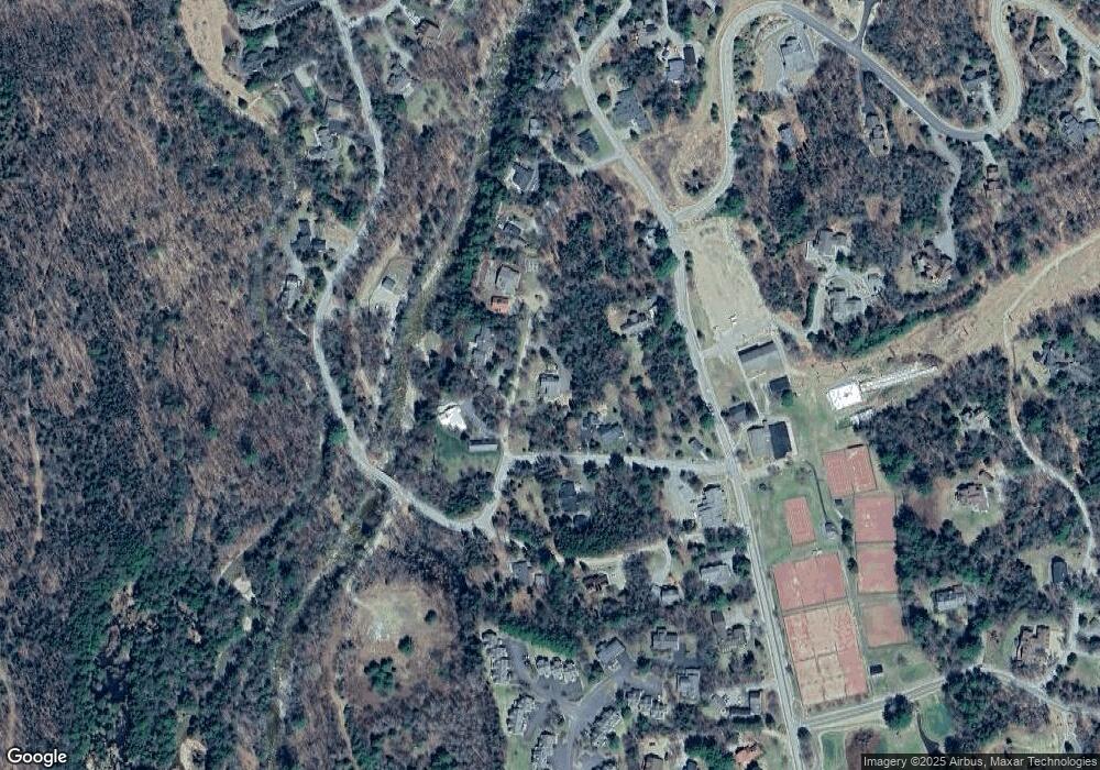
Map
Nearby Homes
- 111 W Branch Rd Unit 4
- 27 Jasinski Rd
- 15 Moose Way Unit 28
- 10 Avalanche Way Unit 12
- 23 Black Bear Rd Unit 204
- 23 Black Bear Rd Unit 308
- 23 Black Bear Rd Unit 305
- 23 Black Bear Rd Unit 410
- 8 Emerson Way Unit F5
- 11 Bull Hill Way
- 7 Bull Hill Way
- 36 Tyler Spring Way Unit 11
- 46 Packard's Rd Unit 104- Week 28
- 46 Packard's Rd Unit 104- Week 38
- 46 Packard's Rd Unit 307- Week 4
- 46 Packard's Rd Unit 405- Week 28
- 46 Packard's Rd Unit 309- Week 48 October
- 46 Packard's Rd Unit 306- Week 42 October
- 28 Packard Rd Unit 412
- 20 Pine Tree Way
- 0 Birch Brook Ln
- 18 W Branch Rd
- 5 Birch Brook Ln
- 3 Birch Brook Ln
- 97 Boulder Path Rd
- 13 Birch Brook Ln
- 15 W Branch Rd
- 20 Gaiety Gulch
- 20 Gaiety Way
- 109 Boulder Path Rd
- 23 Stone Tower Ln
- 13 Stone Tower Ln
- 14 Gaiety Gulch
- 9 Stone Tower Ln
- 123 Boulder Path Rd
- 71 Boulder Path Rd
- 10 Gaiety Gulch
- 17 Sunnyside Condo
- 99 Osceola Rd
- 73 W Branch Rd