10 Colonial Dr Newport Beach, CA 92660
One Ford Road NeighborhoodEstimated Value: $4,394,000 - $5,120,000
4
Beds
4
Baths
3,245
Sq Ft
$1,462/Sq Ft
Est. Value
About This Home
This home is located at 10 Colonial Dr, Newport Beach, CA 92660 and is currently estimated at $4,743,672, approximately $1,461 per square foot. 10 Colonial Dr is a home located in Orange County with nearby schools including Abraham Lincoln Elementary School, Corona del Mar Middle and High School, and Newport Christian School.
Ownership History
Date
Name
Owned For
Owner Type
Purchase Details
Closed on
Sep 27, 2021
Sold by
Fox Michael C and Fox Mary C
Bought by
Fox Michael C and Fox Mary C
Current Estimated Value
Home Financials for this Owner
Home Financials are based on the most recent Mortgage that was taken out on this home.
Original Mortgage
$1,326,000
Outstanding Balance
$1,199,246
Interest Rate
2.25%
Mortgage Type
New Conventional
Estimated Equity
$3,544,426
Purchase Details
Closed on
Dec 8, 2006
Sold by
Fox Michael C and Fox Mary G
Bought by
Fox Michael C and Fox Mary G
Purchase Details
Closed on
Jun 4, 2002
Sold by
Pacific Bay Properties
Bought by
Fox Michael C and Fox Mary G
Home Financials for this Owner
Home Financials are based on the most recent Mortgage that was taken out on this home.
Original Mortgage
$1,000,000
Interest Rate
6.25%
Create a Home Valuation Report for This Property
The Home Valuation Report is an in-depth analysis detailing your home's value as well as a comparison with similar homes in the area
Home Values in the Area
Average Home Value in this Area
Purchase History
| Date | Buyer | Sale Price | Title Company |
|---|---|---|---|
| Fox Michael C | -- | Wfg National Title Co Of Ca | |
| Fox Michael C | -- | None Available | |
| Fox Michael C | $1,500,000 | First American Title Co |
Source: Public Records
Mortgage History
| Date | Status | Borrower | Loan Amount |
|---|---|---|---|
| Open | Fox Michael C | $1,326,000 | |
| Closed | Fox Michael C | $1,000,000 |
Source: Public Records
Tax History Compared to Growth
Tax History
| Year | Tax Paid | Tax Assessment Tax Assessment Total Assessment is a certain percentage of the fair market value that is determined by local assessors to be the total taxable value of land and additions on the property. | Land | Improvement |
|---|---|---|---|---|
| 2025 | $23,361 | $2,226,470 | $1,463,691 | $762,779 |
| 2024 | $23,361 | $2,182,814 | $1,434,991 | $747,823 |
| 2023 | $22,814 | $2,140,014 | $1,406,854 | $733,160 |
| 2022 | $22,435 | $2,098,053 | $1,379,268 | $718,785 |
| 2021 | $22,006 | $2,056,915 | $1,352,223 | $704,692 |
| 2020 | $21,794 | $2,035,824 | $1,338,357 | $697,467 |
| 2019 | $21,344 | $1,995,906 | $1,312,114 | $683,792 |
| 2018 | $20,919 | $1,956,771 | $1,286,386 | $670,385 |
| 2017 | $20,549 | $1,918,403 | $1,261,162 | $657,241 |
| 2016 | $20,087 | $1,880,788 | $1,236,434 | $644,354 |
| 2015 | $19,898 | $1,852,537 | $1,217,861 | $634,676 |
| 2014 | $19,429 | $1,816,249 | $1,194,005 | $622,244 |
Source: Public Records
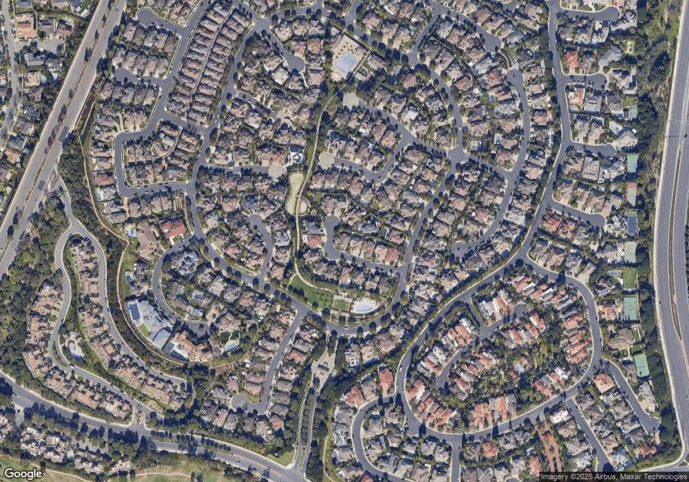
Map
Nearby Homes
- 115 Old Course Dr
- 8 Gleneagles Dr
- 35 Northampton Ct Unit 118
- 81 Hillsdale Dr Unit 49
- 105 Hartford Dr
- 49 Canyon Island Dr
- 67 Sea Island Dr
- 51 Sea Pine Ln Unit 59
- 162 Woodburne Unit 94
- 2215 Arbutus St
- 182 Westport Unit 104
- 38 Sea Island Dr
- 9 Leesbury Ct
- 7 Leesbury Ct
- 515 Bay Hill Dr
- 2 Royal Saint George Rd
- 4 Rue Grand Ducal
- 10 Rue Grand Ducal
- 2214 Vista Hogar
- 14 Rue Chantilly