10 D and B Ln Buckfield, ME 04220
Estimated Value: $260,946 - $370,000
--
Bed
--
Bath
--
Sq Ft
2.22
Acres
About This Home
This home is located at 10 D and B Ln, Buckfield, ME 04220 and is currently estimated at $302,737. 10 D and B Ln is a home with nearby schools including Hartford-Sumner Elementary School and Buckfield Junior/Senior High School.
Ownership History
Date
Name
Owned For
Owner Type
Purchase Details
Closed on
Feb 9, 2021
Sold by
Knox Ricky A
Bought by
Knox Ricky A and Sprague Cammie L
Current Estimated Value
Home Financials for this Owner
Home Financials are based on the most recent Mortgage that was taken out on this home.
Original Mortgage
$92,000
Outstanding Balance
$82,213
Interest Rate
2.65%
Mortgage Type
Purchase Money Mortgage
Estimated Equity
$220,524
Create a Home Valuation Report for This Property
The Home Valuation Report is an in-depth analysis detailing your home's value as well as a comparison with similar homes in the area
Home Values in the Area
Average Home Value in this Area
Purchase History
| Date | Buyer | Sale Price | Title Company |
|---|---|---|---|
| Knox Ricky A | -- | None Available | |
| Knox Ricky A | -- | None Available |
Source: Public Records
Mortgage History
| Date | Status | Borrower | Loan Amount |
|---|---|---|---|
| Open | Knox Ricky A | $92,000 | |
| Closed | Knox Ricky A | $92,000 |
Source: Public Records
Tax History Compared to Growth
Tax History
| Year | Tax Paid | Tax Assessment Tax Assessment Total Assessment is a certain percentage of the fair market value that is determined by local assessors to be the total taxable value of land and additions on the property. | Land | Improvement |
|---|---|---|---|---|
| 2024 | $2,870 | $225,100 | $33,600 | $191,500 |
| 2023 | $2,725 | $104,400 | $30,500 | $73,900 |
| 2022 | $2,947 | $104,400 | $30,500 | $73,900 |
| 2021 | $1,958 | $104,400 | $30,500 | $73,900 |
| 2020 | $2,276 | $104,400 | $30,500 | $73,900 |
| 2019 | $2,517 | $104,400 | $30,500 | $73,900 |
| 2018 | $2,477 | $104,400 | $30,500 | $73,900 |
| 2017 | $2,334 | $104,400 | $30,500 | $73,900 |
| 2016 | $2,247 | $104,400 | $30,500 | $73,900 |
| 2015 | $2,172 | $104,400 | $30,500 | $73,900 |
| 2014 | $2,145 | $104,400 | $30,500 | $73,900 |
| 2013 | $2,224 | $104,400 | $30,500 | $73,900 |
Source: Public Records
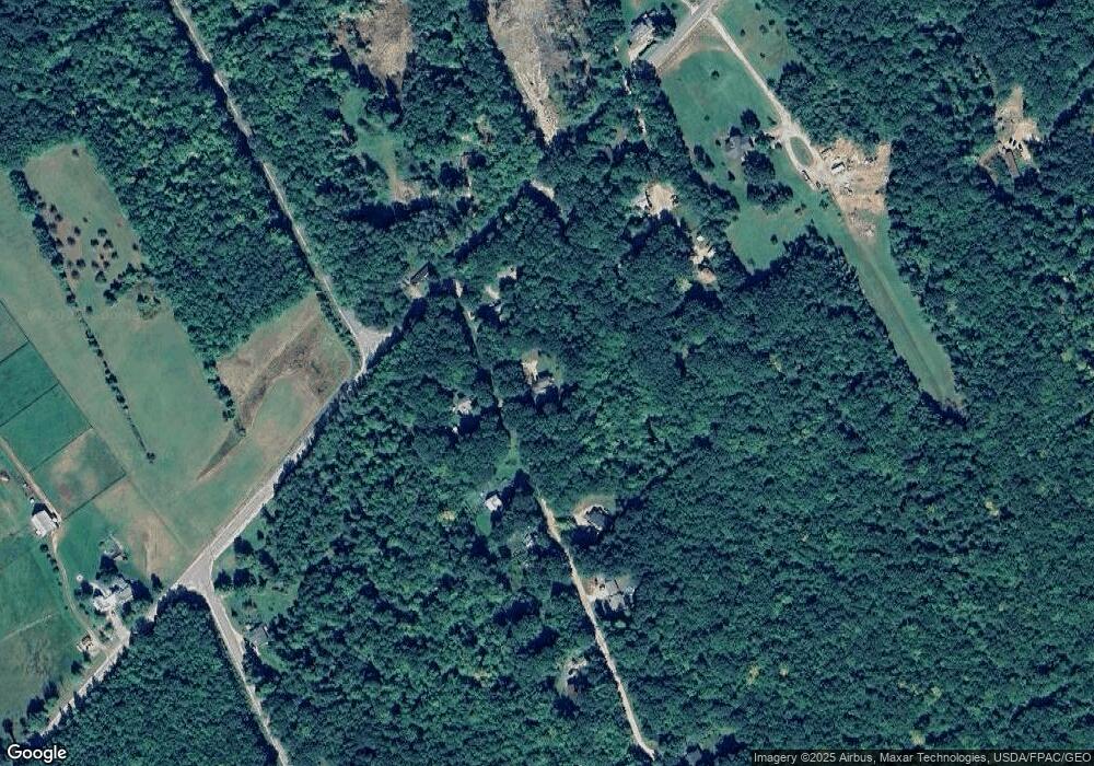
Map
Nearby Homes
- 546 Mount Mica Rd
- 10 S Whitman School Rd
- 040 Streaked Mountain Rd
- 216 Brock School Rd
- 358 Mount Mica Rd
- 3 High Ridge Rd
- 6.79 A End McAllister Rd
- 6.46 End McAllister Rd
- 4 High Ridge Rd
- 6.61 Mountain Rd Aka Hodgdon Rd
- 6.28 Mountain Rd Aka Hodgdon Rd
- TBD Buckfield Rd
- 117 King Hill Rd
- U-21 35.1 Tremont St
- 51 Tremont St
- 33 High St
- 48 Lincoln St
- 95 Old Sumner Rd
- 509 Paris Hill Rd
- 521 Paris Hill Rd
- 15 D and B Ln
- 582 Paris Hill Rd
- 23 D and B Ln
- 26 D and B Ln
- 579 Paris Hill Rd
- 589 Paris Hill Rd
- 570 Paris Hill Rd
- 20 J and A Ln
- LOT 0 Allen School Rd
- 34 D and B Ln
- 37 D and B Ln
- 540 Paris Hill Rd
- 553 Paris Hill Rd
- 197 N Whitman School Rd
- 52 D and B Ln
- 179 N Whitman School Rd
- 629 Paris Hill Rd
- 533 Paris Hill Rd
- 163 N Whitman School Rd
- 522 Paris Hill Rd