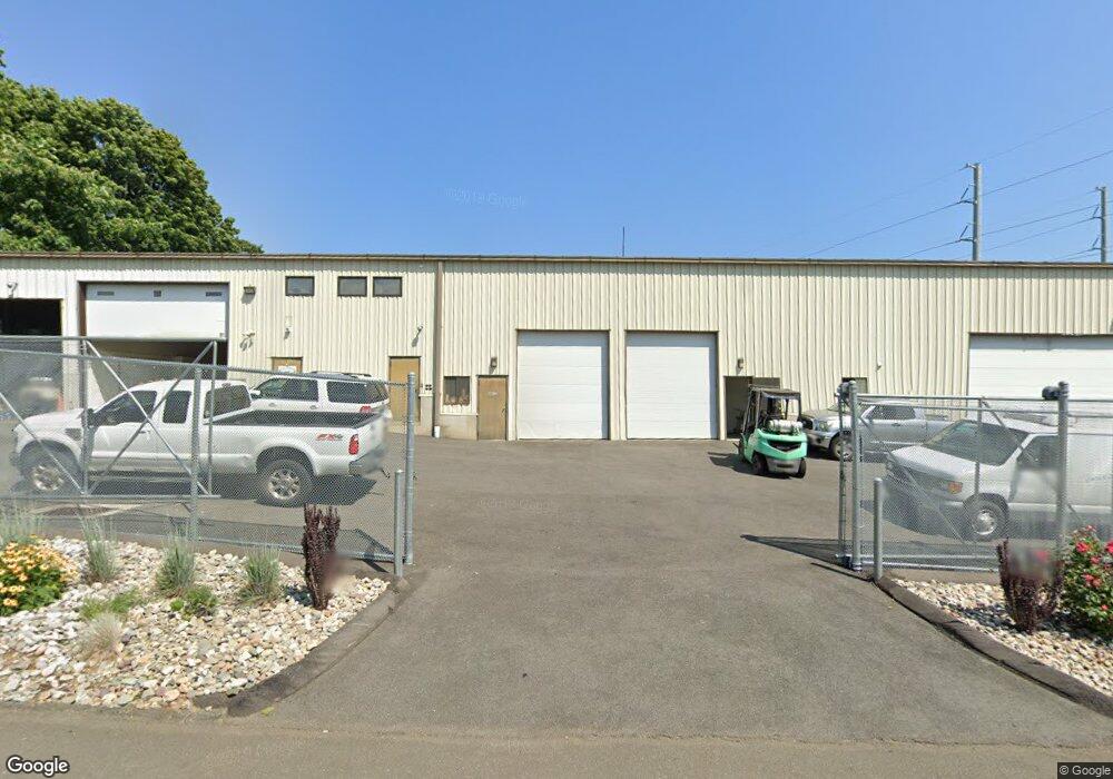
10 Hancock St Unit 5 Stratford, CT 06615
Stratford Center Historic District NeighborhoodEstimated Value: $344,698
--
Bed
1
Bath
2,772
Sq Ft
$124/Sq Ft
Est. Value
About This Home
This home is located at 10 Hancock St Unit 5, Stratford, CT 06615 and is currently estimated at $344,698, approximately $124 per square foot. 10 Hancock St Unit 5 is a home located in Fairfield County with nearby schools including Franklin School, Harry B. Flood Middle School, and Bunnell High School.
Ownership History
Date
Name
Owned For
Owner Type
Purchase Details
Closed on
Apr 22, 2022
Sold by
Unit 5 Llc
Bought by
10 Hancock Street Llc
Current Estimated Value
Purchase Details
Closed on
Apr 4, 2013
Sold by
Frate Bruce A
Bought by
Unit 5 Llc
Home Financials for this Owner
Home Financials are based on the most recent Mortgage that was taken out on this home.
Original Mortgage
$150,000
Interest Rate
3.58%
Mortgage Type
Commercial
Purchase Details
Closed on
Oct 19, 1994
Sold by
Moyher Charles and Moyher William F
Bought by
Natl Ln Investors Lp
Create a Home Valuation Report for This Property
The Home Valuation Report is an in-depth analysis detailing your home's value as well as a comparison with similar homes in the area
Home Values in the Area
Average Home Value in this Area
Purchase History
| Date | Buyer | Sale Price | Title Company |
|---|---|---|---|
| 10 Hancock Street Llc | $253,410 | None Available | |
| 10 Hancock Street Llc | $253,410 | None Available | |
| Unit 5 Llc | $200,000 | -- | |
| Unit 5 Llc | $200,000 | -- | |
| Natl Ln Investors Lp | $140,000 | -- | |
| Natl Ln Investors Lp | $140,000 | -- |
Source: Public Records
Mortgage History
| Date | Status | Borrower | Loan Amount |
|---|---|---|---|
| Previous Owner | Unit 5 Llc | $150,000 | |
| Closed | 10 Hancock Street Llc | $0 |
Source: Public Records
Tax History Compared to Growth
Tax History
| Year | Tax Paid | Tax Assessment Tax Assessment Total Assessment is a certain percentage of the fair market value that is determined by local assessors to be the total taxable value of land and additions on the property. | Land | Improvement |
|---|---|---|---|---|
| 2025 | $7,274 | $180,950 | $0 | $180,950 |
| 2024 | $7,274 | $180,950 | $0 | $180,950 |
| 2023 | $7,274 | $180,950 | $0 | $180,950 |
| 2022 | $7,140 | $180,950 | $0 | $180,950 |
| 2021 | $7,142 | $180,950 | $0 | $180,950 |
| 2020 | $7,173 | $180,950 | $0 | $180,950 |
| 2019 | $7,061 | $177,100 | $0 | $177,100 |
| 2018 | $7,066 | $177,100 | $0 | $177,100 |
| 2017 | $7,079 | $177,100 | $0 | $177,100 |
| 2016 | $6,905 | $177,100 | $0 | $177,100 |
| 2015 | $6,549 | $177,100 | $0 | $177,100 |
| 2014 | $4,138 | $116,130 | $0 | $116,130 |
Source: Public Records
Map
Nearby Homes
- 239 Hollister St
- 154 Soundview Ave
- 345 Burritt Ave
- 196 Avon St
- 59 Lenox Ave
- 88 Knowlton St
- 17 Miranda Ln
- 415 Bruce Ave
- 160 Oakland Place
- 68 Edwin St Unit 70
- 2152 Barnum Ave
- 394 Bishop Ave Unit 396
- 88 Boswell St
- 1840 Barnum Ave
- 528 Soundview Ave
- 66 Roosevelt Ave
- 79 Boswell St
- 1804 Barnum Ave
- 89 Vernon St
- 171 Boswell St