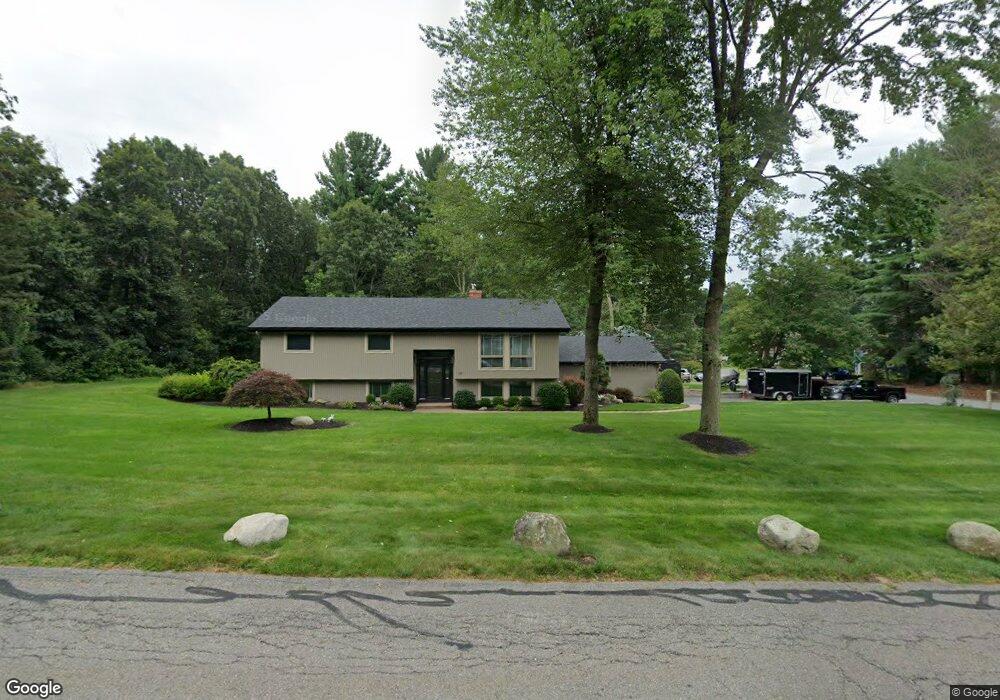
10 Handel Rd Billerica, MA 01821
Estimated Value: $791,000 - $945,000
4
Beds
2
Baths
2,464
Sq Ft
$339/Sq Ft
Est. Value
About This Home
This home is located at 10 Handel Rd, Billerica, MA 01821 and is currently estimated at $836,302, approximately $339 per square foot. 10 Handel Rd is a home located in Middlesex County with nearby schools including Billerica Memorial High School.
Ownership History
Date
Name
Owned For
Owner Type
Purchase Details
Closed on
Jan 25, 2002
Sold by
Tholander Otis B and Tholander Julie S
Bought by
Battcock Matthew K and Rigoli Gwen
Current Estimated Value
Home Financials for this Owner
Home Financials are based on the most recent Mortgage that was taken out on this home.
Original Mortgage
$200,000
Interest Rate
7.08%
Mortgage Type
Purchase Money Mortgage
Create a Home Valuation Report for This Property
The Home Valuation Report is an in-depth analysis detailing your home's value as well as a comparison with similar homes in the area
Home Values in the Area
Average Home Value in this Area
Purchase History
| Date | Buyer | Sale Price | Title Company |
|---|---|---|---|
| Battcock Matthew K | $320,000 | -- |
Source: Public Records
Mortgage History
| Date | Status | Borrower | Loan Amount |
|---|---|---|---|
| Open | Battcock Matthew K | $170,000 | |
| Closed | Battcock Matthew K | $199,000 | |
| Closed | Battcock Matthew K | $200,000 | |
| Previous Owner | Battcock Matthew K | $80,000 |
Source: Public Records
Tax History Compared to Growth
Tax History
| Year | Tax Paid | Tax Assessment Tax Assessment Total Assessment is a certain percentage of the fair market value that is determined by local assessors to be the total taxable value of land and additions on the property. | Land | Improvement |
|---|---|---|---|---|
| 2025 | $8,546 | $751,600 | $325,200 | $426,400 |
| 2024 | $7,780 | $689,100 | $318,600 | $370,500 |
| 2023 | $7,534 | $634,700 | $278,800 | $355,900 |
| 2022 | $6,856 | $542,400 | $232,700 | $309,700 |
| 2021 | $6,614 | $508,800 | $208,900 | $299,900 |
| 2020 | $6,503 | $500,600 | $200,700 | $299,900 |
| 2019 | $4,446 | $463,800 | $197,000 | $266,800 |
| 2018 | $6,004 | $423,100 | $185,900 | $237,200 |
| 2017 | $5,526 | $392,200 | $174,700 | $217,500 |
| 2016 | $5,441 | $384,800 | $167,300 | $217,500 |
| 2015 | $5,403 | $384,800 | $167,300 | $217,500 |
| 2014 | $5,379 | $376,400 | $155,400 | $221,000 |
Source: Public Records
Map
Nearby Homes
- 37 Porter St
- 10 Wentworth Dr
- 18 Baldwin Rd
- 49 Baldwin Rd
- 56 Glad Valley Dr
- 28 Kenmar Dr Unit 283
- 14 Kenmar Dr Unit 111
- 30 Wyman Rd
- 17 Ravine Rd
- 86 Lexington Rd
- 88 Lexington Rd
- 5 Karen Cir Unit 16
- 405 Boston Rd Unit 2
- 1 Fenner St
- 10 Scroxton Dr
- 396 Boston Rd Unit 103
- 110 Friendship St
- 120 Concord Rd
- 33 Pages Ct
- 454 Middlesex Turnpike