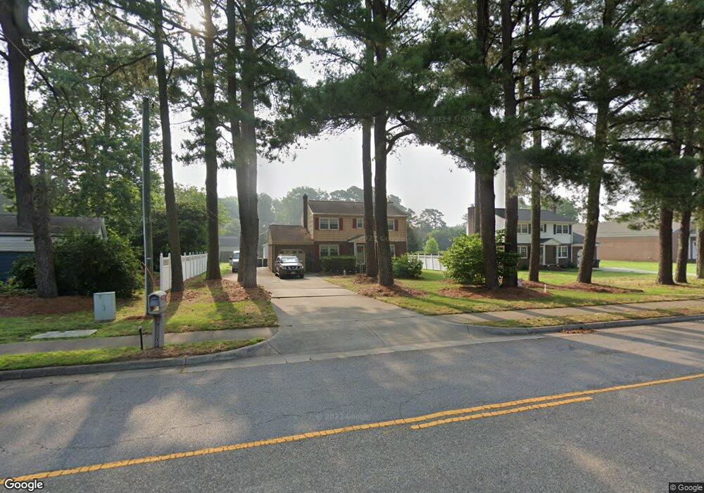
10 Hunts Neck Rd Poquoson, VA 23662
Poquoson Shores NeighborhoodEstimated Value: $400,871 - $471,000
3
Beds
4
Baths
1,984
Sq Ft
$220/Sq Ft
Est. Value
About This Home
This home is located at 10 Hunts Neck Rd, Poquoson, VA 23662 and is currently estimated at $436,718, approximately $220 per square foot. 10 Hunts Neck Rd is a home located in Poquoson City with nearby schools including Emmanuel Lutheran School, Living Word Academy, and Summit Christian Academy - Upper School.
Ownership History
Date
Name
Owned For
Owner Type
Purchase Details
Closed on
Nov 5, 2002
Sold by
Old Point Nat Bank Phoebu
Bought by
Vitarelli Christopher W
Current Estimated Value
Home Financials for this Owner
Home Financials are based on the most recent Mortgage that was taken out on this home.
Original Mortgage
$158,000
Outstanding Balance
$66,277
Interest Rate
6.04%
Mortgage Type
New Conventional
Estimated Equity
$370,441
Create a Home Valuation Report for This Property
The Home Valuation Report is an in-depth analysis detailing your home's value as well as a comparison with similar homes in the area
Home Values in the Area
Average Home Value in this Area
Purchase History
| Date | Buyer | Sale Price | Title Company |
|---|---|---|---|
| Vitarelli Christopher W | $525,000 | -- |
Source: Public Records
Mortgage History
| Date | Status | Borrower | Loan Amount |
|---|---|---|---|
| Open | Vitarelli Christopher W | $158,000 |
Source: Public Records
Tax History Compared to Growth
Tax History
| Year | Tax Paid | Tax Assessment Tax Assessment Total Assessment is a certain percentage of the fair market value that is determined by local assessors to be the total taxable value of land and additions on the property. | Land | Improvement |
|---|---|---|---|---|
| 2024 | $3,778 | $331,400 | $97,100 | $234,300 |
| 2023 | $3,679 | $331,400 | $97,100 | $234,300 |
| 2022 | $3,349 | $296,400 | $97,100 | $199,300 |
| 2021 | $3,349 | $296,400 | $97,100 | $199,300 |
| 2020 | $0 | $271,700 | $97,100 | $174,600 |
| 2019 | -- | $271,700 | $97,100 | $174,600 |
| 2018 | -- | $265,800 | $97,100 | $168,700 |
| 2017 | -- | $255,700 | $97,100 | $158,600 |
| 2016 | -- | $255,700 | $97,100 | $158,600 |
| 2015 | -- | $264,600 | $102,200 | $162,400 |
| 2013 | -- | $264,600 | $102,200 | $162,400 |
Source: Public Records
Map
Nearby Homes
- 11 Valmoore Dr
- 8 Wornom Farm Rd
- 28 Pasture Rd
- 41 W Sandy Point Rd
- 63 Charles Parish Dr
- 11 Dorothy Dr
- 40 Valmoore Dr
- 15+AC Browns Neck Rd
- 11 Bull Run
- 718C Poquoson Ave
- 45 Valasia Rd
- 1 Phillips Rd
- 21 Rens Rd
- 105 Rens Rd Unit 74
- 105 Rens Rd Unit 30
- 105 Rens Rd Unit 2
- 105 Rens Rd Unit Lot 48
- 9 Cherokee Dr
- 706 Yorktown Rd
- 6 Lessies Dr
- 8 Hunts Neck Rd
- 2 Browns Neck Rd
- 2 Browns Neck Rd
- 10 Browns Neck Rd
- 10+AC Browns Neck Rd
- 25 Hunts Neck Rd
- 12 Browns Neck Rd
- 29 Hunts Neck Rd
- 6 Hunts Neck Rd
- 12 Hunts Neck Rd
- 19 Hunts Neck Rd
- 13 Hunts Neck Rd
- 4 Rue Degrasse
- 6 Rue Degrasse
- 4 Hunts Neck Rd
- 2 Rue Degrasse
- 11 Browns Neck Rd
- 8 Rue Degrasse
- 14 Hunts Neck Rd
- 9 Hunts Neck Rd