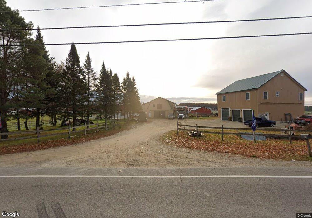
10 Louden Rd Saco, ME 04072
North Saco NeighborhoodEstimated Value: $587,000 - $946,368
3
Beds
2
Baths
2,048
Sq Ft
$344/Sq Ft
Est. Value
About This Home
This home is located at 10 Louden Rd, Saco, ME 04072 and is currently estimated at $705,342, approximately $344 per square foot. 10 Louden Rd is a home located in York County with nearby schools including C K Burns School, Saco Middle School, and Florence Lombard Christian School.
Ownership History
Date
Name
Owned For
Owner Type
Purchase Details
Closed on
Feb 9, 2024
Sold by
Moore Terrence R
Bought by
Moore Terrence R and Rizeakos Lisa A
Current Estimated Value
Purchase Details
Closed on
Jul 27, 2022
Sold by
Rizeakos Lisa A
Bought by
Moore Terrence R
Home Financials for this Owner
Home Financials are based on the most recent Mortgage that was taken out on this home.
Original Mortgage
$250,000
Interest Rate
5.78%
Mortgage Type
Purchase Money Mortgage
Create a Home Valuation Report for This Property
The Home Valuation Report is an in-depth analysis detailing your home's value as well as a comparison with similar homes in the area
Home Values in the Area
Average Home Value in this Area
Purchase History
| Date | Buyer | Sale Price | Title Company |
|---|---|---|---|
| Moore Terrence R | -- | None Available | |
| Moore Terrence R | -- | None Available | |
| Moore Terrence R | $250,000 | Misc Company | |
| Moore Terrence R | $250,000 | Misc Company | |
| Moore Terrence R | $250,000 | Misc Company |
Source: Public Records
Mortgage History
| Date | Status | Borrower | Loan Amount |
|---|---|---|---|
| Previous Owner | Moore Terrence R | $250,000 |
Source: Public Records
Tax History Compared to Growth
Tax History
| Year | Tax Paid | Tax Assessment Tax Assessment Total Assessment is a certain percentage of the fair market value that is determined by local assessors to be the total taxable value of land and additions on the property. | Land | Improvement |
|---|---|---|---|---|
| 2024 | $10,883 | $774,600 | $158,800 | $615,800 |
| 2023 | $6,893 | $467,300 | $158,800 | $308,500 |
| 2022 | $6,236 | $340,200 | $123,300 | $216,900 |
| 2021 | $2,977 | $157,700 | $102,400 | $55,300 |
| 2020 | $2,882 | $146,500 | $91,200 | $55,300 |
| 2019 | $2,839 | $146,500 | $91,200 | $55,300 |
| 2018 | $1,991 | $124,100 | $68,800 | $55,300 |
| 2017 | $2,211 | $114,100 | $64,100 | $50,000 |
| 2016 | $1,991 | $102,500 | $52,500 | $50,000 |
| 2015 | $1,934 | $100,600 | $50,600 | $50,000 |
| 2014 | $1,873 | $100,600 | $50,600 | $50,000 |
| 2013 | $1,869 | $100,600 | $50,600 | $50,000 |
Source: Public Records
Map
Nearby Homes
- Lot 2 TBD Bobby Ave
- 295 Buxton Rd
- 224 New County Rd
- 10 Jeffrey Ave
- 37 Douglas Ave
- 436 Flag Pond Rd
- 4 Spool St Unit 101
- 48 Hillview Ave
- 43 New County Rd
- lot 2 June Dr
- lot 3 June Dr
- 4 Smutty Ln
- 9 Jada Dr
- 8 Nottingham Dr
- 48 Garfield St Unit 9
- TBD Cribble Cove Rd
- 5 Marguerite Rd
- 7 Hubbard St
- 12 Shadagee Rd
- 11 Brentwood Cir