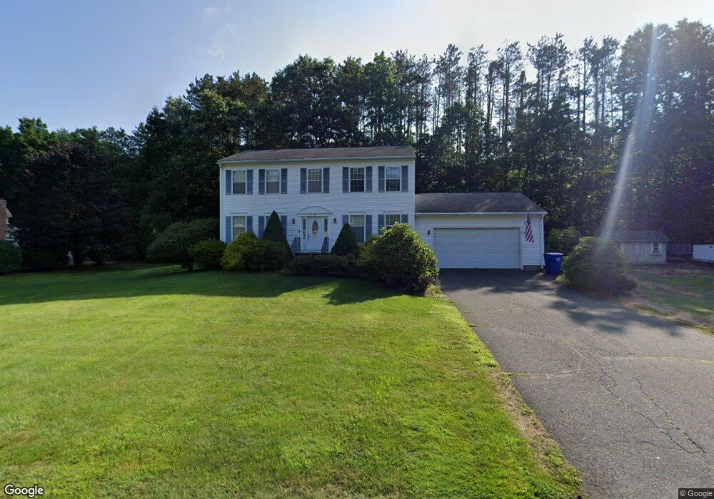
10 Pine Ct Sunderland, MA 01375
Estimated Value: $550,159 - $688,000
4
Beds
3
Baths
2,500
Sq Ft
$251/Sq Ft
Est. Value
About This Home
This home is located at 10 Pine Ct, Sunderland, MA 01375 and is currently estimated at $627,040, approximately $250 per square foot. 10 Pine Ct is a home located in Franklin County with nearby schools including Sunderland Elementary School and Frontier Regional School.
Ownership History
Date
Name
Owned For
Owner Type
Purchase Details
Closed on
Dec 19, 2002
Sold by
Deerfield Land Tr Inc
Bought by
Karas Christine A and Karas Frank H
Current Estimated Value
Purchase Details
Closed on
Aug 9, 2001
Sold by
Rogers Avis D
Bought by
Deerfield Land Tr
Purchase Details
Closed on
Jul 30, 1998
Sold by
Powers James C and Powers Linda M
Bought by
Trosin Michael M and Trosin Jayne M
Purchase Details
Closed on
Jun 25, 1997
Sold by
John A Mokrzecky Ret
Bought by
Powers James C and Powers Linda M
Create a Home Valuation Report for This Property
The Home Valuation Report is an in-depth analysis detailing your home's value as well as a comparison with similar homes in the area
Home Values in the Area
Average Home Value in this Area
Purchase History
| Date | Buyer | Sale Price | Title Company |
|---|---|---|---|
| Karas Christine A | $36,500 | -- | |
| Deerfield Land Tr | $115,000 | -- | |
| Trosin Michael M | $180,000 | -- | |
| Powers James C | $44,900 | -- |
Source: Public Records
Mortgage History
| Date | Status | Borrower | Loan Amount |
|---|---|---|---|
| Open | Powers James C | $246,000 | |
| Closed | Powers James C | $200,000 |
Source: Public Records
Tax History Compared to Growth
Tax History
| Year | Tax Paid | Tax Assessment Tax Assessment Total Assessment is a certain percentage of the fair market value that is determined by local assessors to be the total taxable value of land and additions on the property. | Land | Improvement |
|---|---|---|---|---|
| 2025 | $60 | $462,800 | $123,600 | $339,200 |
| 2024 | $6,081 | $462,800 | $123,600 | $339,200 |
| 2023 | $5,571 | $435,200 | $112,300 | $322,900 |
| 2022 | $5,614 | $381,900 | $96,300 | $285,600 |
| 2021 | $5,442 | $351,300 | $89,300 | $262,000 |
| 2020 | $5,418 | $350,900 | $89,300 | $261,600 |
| 2019 | $5,240 | $341,800 | $86,700 | $255,100 |
| 2018 | $4,920 | $328,000 | $83,200 | $244,800 |
| 2017 | $4,665 | $325,300 | $83,200 | $242,100 |
| 2016 | $4,767 | $325,200 | $81,600 | $243,600 |
| 2015 | $4,654 | $325,200 | $81,600 | $243,600 |
| 2014 | $4,546 | $325,200 | $81,600 | $243,600 |
Source: Public Records
Map
Nearby Homes
- 15 S Plain Rd
- 146 Old Amherst Rd
- 110 Old Amherst Rd
- 10 Depot Rd
- 3 Depot Rd
- 113 Juggler Meadow Rd
- 7 Roosevelt St
- 73 Depot Rd
- Lot 3A-3 Leverett Rd
- 39 Valley Ln
- 88 Farview Way
- 238 N Main St
- 13 Harlow Dr
- 0 Henry St
- 110 Grantwood Dr
- 11 Sheerman Ln
- 185 Cherry Ln
- Lot A Kingman Rd
- Lot C Mountain Rd
- Lot A Mountain Rd
- 188 Plumtree Rd
- 9 Pine Ct
- 5 Pine Ct
- 186 Plumtree Rd
- 184 Plumtree Rd
- 19 Pine Ct
- 196 Plumtree Rd
- 187 Plumtree Rd
- 179 Plumtree Rd
- 189 Plumtree Rd
- 175 Plumtree Rd
- 198 Plumtree Rd
- 202 Plumtree Rd
- 167 Plumtree Rd
- 168 Plumtree Rd
- 195 Plumtree Rd
- 41 Country Ln
- 139 Plumtree Rd
- 0 Plumtree Rd Toye 116 Unit 30285389
- 191 Plumtree Rd