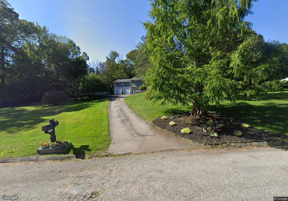
10 Sherwood Dr Stonington, CT 06378
Estimated Value: $442,000 - $498,043
3
Beds
2
Baths
1,460
Sq Ft
$327/Sq Ft
Est. Value
About This Home
This home is located at 10 Sherwood Dr, Stonington, CT 06378 and is currently estimated at $476,761, approximately $326 per square foot. 10 Sherwood Dr is a home located in New London County with nearby schools including Stonington Middle School, Stonington High School, and North Stonington Christian Academy.
Ownership History
Date
Name
Owned For
Owner Type
Purchase Details
Closed on
Apr 17, 2019
Sold by
Calkins Kathy L
Bought by
Kathy L Calkins Ret and Calkins
Current Estimated Value
Purchase Details
Closed on
Jul 23, 1999
Sold by
Sears Robert N and Sears Valerie J
Bought by
Calkins Harold T and Clakins Kathy L
Purchase Details
Closed on
Aug 10, 1987
Sold by
Flatbush Bldg Co
Bought by
Sear Robert N
Create a Home Valuation Report for This Property
The Home Valuation Report is an in-depth analysis detailing your home's value as well as a comparison with similar homes in the area
Home Values in the Area
Average Home Value in this Area
Purchase History
| Date | Buyer | Sale Price | Title Company |
|---|---|---|---|
| Kathy L Calkins Ret | -- | -- | |
| Kathy L Calkins Ret | -- | -- | |
| Calkins Harold T | $120,500 | -- | |
| Calkins Harold T | $120,500 | -- | |
| Sear Robert N | $129,900 | -- |
Source: Public Records
Mortgage History
| Date | Status | Borrower | Loan Amount |
|---|---|---|---|
| Previous Owner | Sear Robert N | $65,000 | |
| Previous Owner | Sear Robert N | $264,000 |
Source: Public Records
Tax History Compared to Growth
Tax History
| Year | Tax Paid | Tax Assessment Tax Assessment Total Assessment is a certain percentage of the fair market value that is determined by local assessors to be the total taxable value of land and additions on the property. | Land | Improvement |
|---|---|---|---|---|
| 2025 | $5,036 | $263,000 | $56,200 | $206,800 |
| 2024 | $4,821 | $263,000 | $56,200 | $206,800 |
| 2023 | $4,776 | $263,000 | $56,200 | $206,800 |
| 2022 | $4,690 | $191,500 | $55,600 | $135,900 |
| 2021 | $4,728 | $191,500 | $55,600 | $135,900 |
| 2020 | $4,629 | $191,500 | $55,600 | $135,900 |
| 2019 | $4,635 | $190,500 | $55,600 | $134,900 |
| 2018 | $3,837 | $163,200 | $55,600 | $107,600 |
| 2017 | $3,407 | $142,800 | $46,300 | $96,500 |
| 2016 | $3,293 | $142,800 | $46,300 | $96,500 |
| 2015 | $3,127 | $141,700 | $45,200 | $96,500 |
| 2014 | $3,001 | $141,700 | $45,200 | $96,500 |
Source: Public Records
Map
Nearby Homes
- 4 Damato Dr
- 19 Oak Dr
- 135 Stony Brook Rd
- 20 Providence-Nl Turnpike Unit 14A
- 20 Providence New London Turnpike Unit Lot 19
- 579 Taugwonk Rd
- 587 Taugwonk Rd
- 16 N Anguilla Rd
- 321 N Anguilla Rd
- 26 Pinecrest Rd
- 550 Al Harvey Rd
- 11 Meadow Wood Dr
- 87 Elmridge Rd
- 3 Fairview Dr
- 414 Liberty St
- 508 Al Harvey Rd
- 8 Alice Ct
- 46 Dawley Dr
- 39 Hewitt Rd
- 130 Stephen Dr