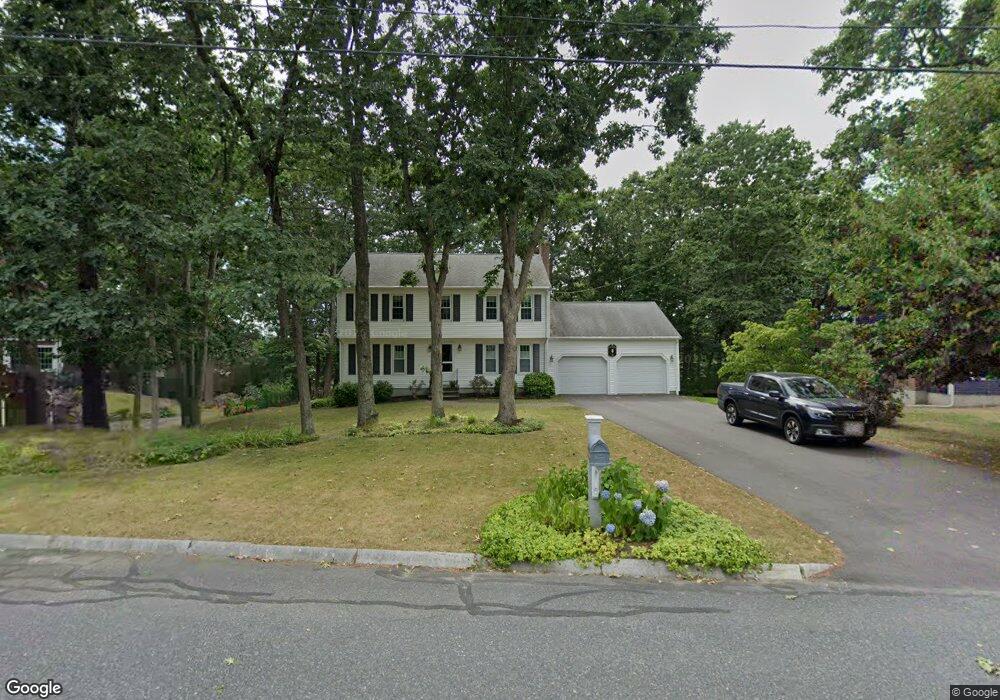
10 Virginia Dr Milford, MA 01757
Estimated Value: $646,000 - $728,000
4
Beds
3
Baths
2,200
Sq Ft
$311/Sq Ft
Est. Value
About This Home
This home is located at 10 Virginia Dr, Milford, MA 01757 and is currently estimated at $684,011, approximately $310 per square foot. 10 Virginia Dr is a home located in Worcester County with nearby schools including Milford High School.
Ownership History
Date
Name
Owned For
Owner Type
Purchase Details
Closed on
Mar 16, 1994
Sold by
Casasanta Constr Co
Bought by
Sanborn Amie and Sanborn William
Current Estimated Value
Home Financials for this Owner
Home Financials are based on the most recent Mortgage that was taken out on this home.
Original Mortgage
$150,000
Interest Rate
6.9%
Mortgage Type
Purchase Money Mortgage
Create a Home Valuation Report for This Property
The Home Valuation Report is an in-depth analysis detailing your home's value as well as a comparison with similar homes in the area
Home Values in the Area
Average Home Value in this Area
Purchase History
| Date | Buyer | Sale Price | Title Company |
|---|---|---|---|
| Sanborn Amie | $187,700 | -- |
Source: Public Records
Mortgage History
| Date | Status | Borrower | Loan Amount |
|---|---|---|---|
| Open | Sanborn Amie | $160,000 | |
| Closed | Sanborn Amie | $150,000 |
Source: Public Records
Tax History Compared to Growth
Tax History
| Year | Tax Paid | Tax Assessment Tax Assessment Total Assessment is a certain percentage of the fair market value that is determined by local assessors to be the total taxable value of land and additions on the property. | Land | Improvement |
|---|---|---|---|---|
| 2025 | $7,848 | $613,100 | $193,000 | $420,100 |
| 2024 | $7,775 | $585,000 | $185,500 | $399,500 |
| 2023 | $7,278 | $503,700 | $154,000 | $349,700 |
| 2022 | $6,930 | $450,300 | $141,000 | $309,300 |
| 2021 | $6,606 | $413,400 | $141,000 | $272,400 |
| 2020 | $6,526 | $408,900 | $141,000 | $267,900 |
| 2019 | $6,332 | $382,800 | $141,000 | $241,800 |
| 2018 | $6,278 | $379,100 | $137,300 | $241,800 |
| 2017 | $6,080 | $362,100 | $137,300 | $224,800 |
| 2016 | $5,979 | $348,000 | $137,300 | $210,700 |
| 2015 | $5,983 | $340,900 | $137,300 | $203,600 |
Source: Public Records
Map
Nearby Homes
- 85 Fisher St
- 6 Rainbow Dr
- 78 Fisher St
- 4 Deerfield Rd
- 4 E Charles St
- 15 Free St
- 35 Woodland Ave Unit 35A
- Lot 1 Florence St
- 22 Granite St
- 17 Middleton St
- 33 Brown Bear Ln Unit 33
- 11 Black Bear Unit 11
- 9 Black Bear Cir Unit 9
- 9 Hillside Ave
- 7 Black Bear Unit 7
- 10 Black Bear Unit 10
- 43 Black Bear Cir Unit 43
- 3 Black Bear Cir Unit 3
- 48 Black Bear Cir Unit 48
- 9 Tulip Way