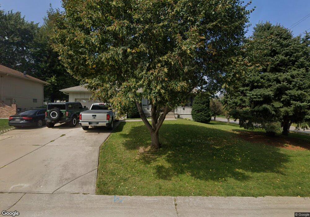
100 Ashland Ct Council Bluffs, IA 51503
Eastern Council Bluffs NeighborhoodEstimated Value: $333,000 - $370,000
3
Beds
3
Baths
1,592
Sq Ft
$219/Sq Ft
Est. Value
About This Home
This home is located at 100 Ashland Ct, Council Bluffs, IA 51503 and is currently estimated at $348,721, approximately $219 per square foot. 100 Ashland Ct is a home located in Pottawattamie County with nearby schools including E.A. Kreft Primary School, Titan Hill Intermediate School, and Lewis Central Middle School.
Ownership History
Date
Name
Owned For
Owner Type
Purchase Details
Closed on
Aug 31, 2020
Sold by
Thomas Lori S and Thomas Wadie
Bought by
Jones Jeremiah H and Jones Angie E
Current Estimated Value
Home Financials for this Owner
Home Financials are based on the most recent Mortgage that was taken out on this home.
Original Mortgage
$213,000
Outstanding Balance
$189,023
Interest Rate
2.9%
Mortgage Type
New Conventional
Estimated Equity
$159,698
Purchase Details
Closed on
Aug 10, 2016
Sold by
William Lori S and Thomas Lori S
Bought by
Thomas Lori S and Thomas Wadie
Purchase Details
Closed on
Dec 10, 2009
Sold by
Langer Cheryl R
Bought by
Langer Cheryl R and Hiatt Jerry M
Purchase Details
Closed on
Dec 4, 2008
Sold by
Williams Jeffrey S
Bought by
Williams Lori S
Home Financials for this Owner
Home Financials are based on the most recent Mortgage that was taken out on this home.
Original Mortgage
$90,000
Interest Rate
6.49%
Mortgage Type
Unknown
Create a Home Valuation Report for This Property
The Home Valuation Report is an in-depth analysis detailing your home's value as well as a comparison with similar homes in the area
Home Values in the Area
Average Home Value in this Area
Purchase History
| Date | Buyer | Sale Price | Title Company |
|---|---|---|---|
| Jones Jeremiah H | $237,000 | None Available | |
| Jones Jeremiah R | -- | None Listed On Document | |
| Thomas Lori S | -- | None Available | |
| Langer Cheryl R | -- | None Available | |
| Williams Lori S | -- | None Available |
Source: Public Records
Mortgage History
| Date | Status | Borrower | Loan Amount |
|---|---|---|---|
| Open | Jones Jeremiah R | $213,000 | |
| Closed | Jones Jeremiah H | $213,000 | |
| Previous Owner | Williams Lori S | $90,000 |
Source: Public Records
Tax History Compared to Growth
Tax History
| Year | Tax Paid | Tax Assessment Tax Assessment Total Assessment is a certain percentage of the fair market value that is determined by local assessors to be the total taxable value of land and additions on the property. | Land | Improvement |
|---|---|---|---|---|
| 2025 | $5,320 | $336,800 | $49,700 | $287,100 |
| 2024 | $5,320 | $307,900 | $43,200 | $264,700 |
| 2023 | $5,231 | $307,900 | $43,200 | $264,700 |
| 2022 | $4,982 | $246,600 | $39,400 | $207,200 |
| 2021 | $7,362 | $246,600 | $39,400 | $207,200 |
| 2020 | $4,948 | $223,800 | $35,500 | $188,300 |
| 2019 | $5,142 | $223,800 | $35,500 | $188,300 |
| 2018 | $5,028 | $223,800 | $35,500 | $188,300 |
| 2017 | $4,594 | $201,096 | $35,491 | $165,605 |
| 2015 | $4,322 | $201,096 | $35,491 | $165,605 |
| 2014 | $4,346 | $201,096 | $35,491 | $165,605 |
Source: Public Records
Map
Nearby Homes
- 305 Meadow Ln
- 2526 Franklin Ave
- 206 Parkview Dr
- 200 Timber Dr
- 16090 Crystal Ln
- 208 Red Bud Ln
- 1893 Hemlock St
- 1715 Blackthorn St
- 1711 Blackthorn St
- 1835 Balsam St
- 1877 Hemlock St
- 212 Woodcliff Cir
- 1742 Blackthorn St
- 1847 Balsam St
- 310 Wildwood Rd
- 69 Wenwood Cir
- 1759 Blackthorn St
- 1768 Blackthorn St
- 1860 Balsam St
- 10 Balsam Cir
- 110 Ashland Ct
- 360 Kingsridge Dr
- 105 Kingsridge Dr
- 120 Ashland Ct
- 350 Kingsridge Dr
- 115 Kingsridge Dr
- 3 Kingsridge Dr N
- 125 Ashland Ct
- 5 Kingsridge Dr
- 2 Danbury Ct
- 340 Kingsridge Dr
- 130 Ashland Ct
- 125 Kingsridge Dr
- 335 Kingsridge Dr
- 16421 Franklin Ave
- 6 Danbury Ct
- 2730 Franklin Ave
- 100 Kingsridge Dr
- 9 Kingsridge Dr
- LOT 4 Kingsridge Dr