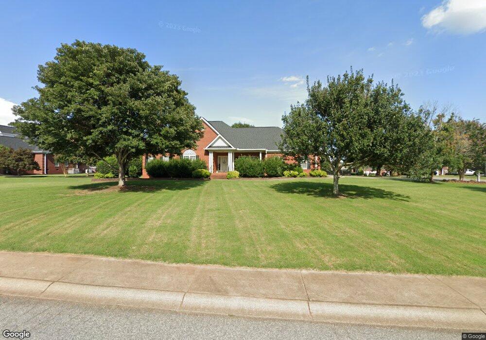
100 Buttercup Trail Anderson, SC 29621
Estimated Value: $386,171 - $515,000
5
Beds
3
Baths
3,360
Sq Ft
$128/Sq Ft
Est. Value
About This Home
This home is located at 100 Buttercup Trail, Anderson, SC 29621 and is currently estimated at $428,793, approximately $127 per square foot. 100 Buttercup Trail is a home located in Anderson County with nearby schools including North Pointe Elementary School, McCants Middle School, and T.L. Hanna High School.
Ownership History
Date
Name
Owned For
Owner Type
Purchase Details
Closed on
Sep 25, 2014
Sold by
Upstate Home Deals Llc
Bought by
Raspet Thomas Michael and Raspet Stephanie Smith
Current Estimated Value
Home Financials for this Owner
Home Financials are based on the most recent Mortgage that was taken out on this home.
Original Mortgage
$254,883
Outstanding Balance
$191,894
Interest Rate
3.62%
Mortgage Type
FHA
Estimated Equity
$236,899
Purchase Details
Closed on
Jul 10, 2014
Sold by
Strickland Charles D and Strickland Kelli R
Bought by
Upstate Home Deals Llc
Purchase Details
Closed on
Aug 29, 2007
Sold by
Ellis Jeffrey L
Bought by
Strickland Charles D and Strickland Kelli R
Home Financials for this Owner
Home Financials are based on the most recent Mortgage that was taken out on this home.
Original Mortgage
$253,000
Interest Rate
6.7%
Mortgage Type
Balloon
Create a Home Valuation Report for This Property
The Home Valuation Report is an in-depth analysis detailing your home's value as well as a comparison with similar homes in the area
Home Values in the Area
Average Home Value in this Area
Purchase History
| Date | Buyer | Sale Price | Title Company |
|---|---|---|---|
| Raspet Thomas Michael | $264,000 | -- | |
| Upstate Home Deals Llc | $203,500 | -- | |
| Strickland Charles D | $252,500 | Attorney | |
| Ellis Jeffrey L | $302,500 | Attorney |
Source: Public Records
Mortgage History
| Date | Status | Borrower | Loan Amount |
|---|---|---|---|
| Open | Raspet Thomas Michael | $254,883 | |
| Previous Owner | Strickland Charles D | $253,000 |
Source: Public Records
Tax History Compared to Growth
Tax History
| Year | Tax Paid | Tax Assessment Tax Assessment Total Assessment is a certain percentage of the fair market value that is determined by local assessors to be the total taxable value of land and additions on the property. | Land | Improvement |
|---|---|---|---|---|
| 2024 | $1,495 | $13,350 | $1,580 | $11,770 |
| 2023 | $1,507 | $13,350 | $1,580 | $11,770 |
| 2022 | $1,475 | $13,350 | $1,580 | $11,770 |
| 2021 | $1,317 | $10,940 | $1,400 | $9,540 |
| 2020 | $1,306 | $10,940 | $1,400 | $9,540 |
| 2019 | $1,306 | $10,940 | $1,400 | $9,540 |
| 2018 | $1,329 | $10,940 | $1,400 | $9,540 |
| 2017 | -- | $10,940 | $1,400 | $9,540 |
| 2016 | $1,286 | $15,830 | $1,980 | $13,850 |
| 2015 | $5,024 | $10,460 | $1,320 | $9,140 |
| 2014 | $1,301 | $10,460 | $1,320 | $9,140 |
Source: Public Records
Map
Nearby Homes
- 276 Silo Ridge Dr
- 286 Silo Ridge Dr
- 267 Silo Ridge Dr
- 231 Silo Ridge Dr
- 278 Silo Ridge Dr
- 284 Silo Ridge Dr
- 129 Silo Ridge Dr
- 288 Silo Ridge Dr
- 131 Silo Ridge Dr
- 274 Silo Ridge Dr
- 282 Silo Ridge Dr
- Lakehurst Plan at Silo Ridge
- Litchfield Plan at Silo Ridge
- Lochlan Plan at Silo Ridge
- 285 Silo Ridge Dr
- 102 Buttercup Trail
- 207 Dandelion Trail
- 208 Dandelion Trail
- 101 Buttercup Trail
- 206 Dandelion Trail
- 103 Wild Vine Path
- 210 Dandelion Trail
- 104 Buttercup Trail
- 103 Buttercup Trail
- 98 C-6-86f
- 204 Dandelion Trail
- 201 Dandelion Trail
- 212 Dandelion Trail
- 105 Wild Vine Park
- 105 Buttercup Trail
- 105 Wild Vine Path
- 50 Dandelion Trail
- 209 Dandelion Trail
- 102 C-6-86f
- 106 Buttercup Trail