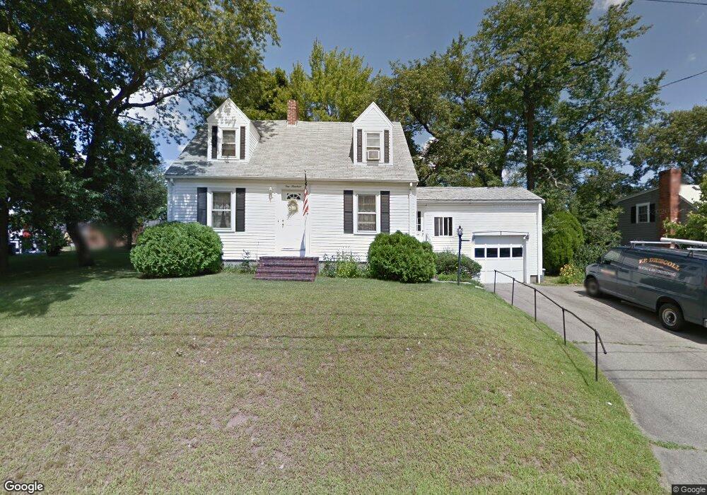
100 Fuller Rd North Weymouth, MA 02191
North Weymouth NeighborhoodEstimated Value: $567,000 - $623,602
4
Beds
2
Baths
1,365
Sq Ft
$444/Sq Ft
Est. Value
About This Home
This home is located at 100 Fuller Rd, North Weymouth, MA 02191 and is currently estimated at $605,651, approximately $443 per square foot. 100 Fuller Rd is a home located in Norfolk County with nearby schools including Wessagusset Elementary School, Abigail Adams Middle School, and Weymouth Middle School Chapman.
Ownership History
Date
Name
Owned For
Owner Type
Purchase Details
Closed on
Sep 30, 2013
Sold by
Riley Ret
Bought by
Driscoll Diane E
Current Estimated Value
Purchase Details
Closed on
Dec 3, 2010
Sold by
Riley Marie F and Riley Thomas J
Bought by
Riley Thomas J and Riley Marie F
Create a Home Valuation Report for This Property
The Home Valuation Report is an in-depth analysis detailing your home's value as well as a comparison with similar homes in the area
Home Values in the Area
Average Home Value in this Area
Purchase History
| Date | Buyer | Sale Price | Title Company |
|---|---|---|---|
| Driscoll Diane E | $273,000 | -- | |
| Riley Thomas J | -- | -- | |
| Riley Thomas J | -- | -- |
Source: Public Records
Mortgage History
| Date | Status | Borrower | Loan Amount |
|---|---|---|---|
| Closed | Driscoll Diane E | $0 | |
| Closed | Driscoll Diane E | -- |
Source: Public Records
Tax History Compared to Growth
Tax History
| Year | Tax Paid | Tax Assessment Tax Assessment Total Assessment is a certain percentage of the fair market value that is determined by local assessors to be the total taxable value of land and additions on the property. | Land | Improvement |
|---|---|---|---|---|
| 2025 | $5,134 | $508,300 | $225,700 | $282,600 |
| 2024 | $4,973 | $484,200 | $215,000 | $269,200 |
| 2023 | $4,686 | $448,400 | $199,000 | $249,400 |
| 2022 | $4,579 | $399,600 | $184,300 | $215,300 |
| 2021 | $4,300 | $366,300 | $184,300 | $182,000 |
| 2020 | $4,086 | $342,800 | $184,300 | $158,500 |
| 2019 | $3,987 | $329,000 | $177,200 | $151,800 |
| 2018 | $3,869 | $309,500 | $168,800 | $140,700 |
| 2017 | $3,684 | $287,600 | $153,500 | $134,100 |
| 2016 | $3,540 | $276,600 | $147,600 | $129,000 |
| 2015 | $3,328 | $258,000 | $140,500 | $117,500 |
| 2014 | $3,133 | $235,600 | $130,800 | $104,800 |
Source: Public Records
Map
Nearby Homes
- 109 Merryknoll Rd
- 59 Katherine St
- 320 Green St
- 14 Crescent Rd
- 10 Beals Cove Rd Unit C
- 16 Beal's Cove Rd Unit E
- 65 Saning Rd
- 88 Saning Rd
- 43 Flint Locke Dr
- 41 Pecksuot Rd
- 10 Shipyard Dr Unit 313
- 159 Wessagussett Rd
- 137 Wessagussett Rd
- 504 Tuckers Ln
- 2 Winstead Rd
- 16 Caldwell St
- 73 Broad Reach Unit M36C
- 73 Broad Reach Unit M21C
- 51 Broad Reach Unit T23A
- 130 Broad Reach Unit 506