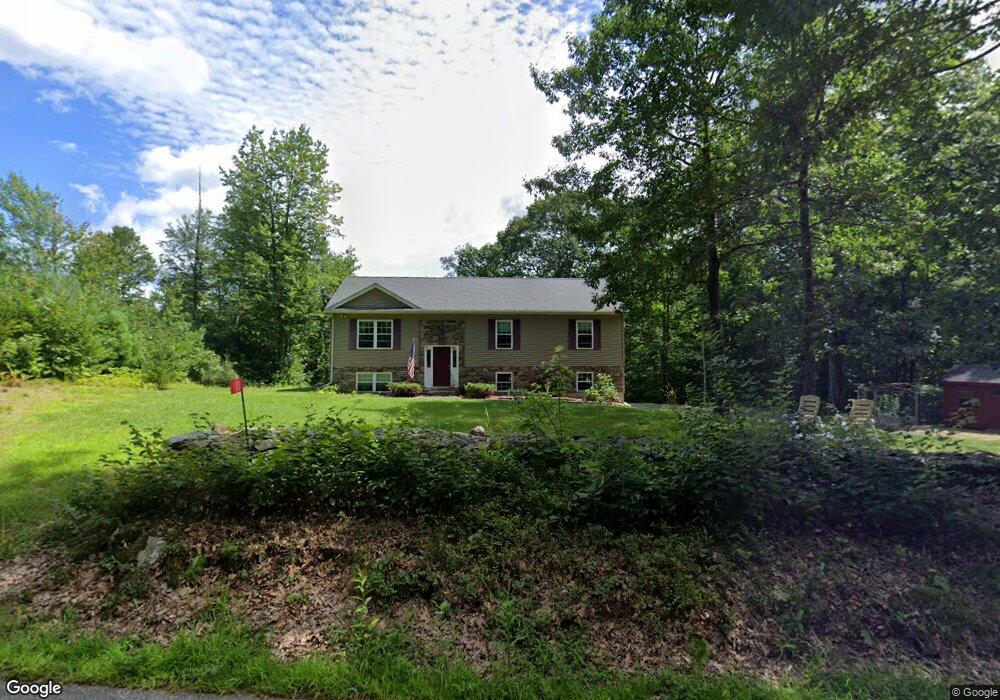
100 Mccormick Rd Spencer, MA 01562
Estimated Value: $504,000 - $563,000
3
Beds
2
Baths
1,344
Sq Ft
$395/Sq Ft
Est. Value
About This Home
This home is located at 100 Mccormick Rd, Spencer, MA 01562 and is currently estimated at $531,113, approximately $395 per square foot. 100 Mccormick Rd is a home located in Worcester County with nearby schools including David Prouty High School.
Ownership History
Date
Name
Owned For
Owner Type
Purchase Details
Closed on
Oct 17, 2017
Sold by
Berg Randy M and Berg Victoria A
Bought by
Berg Victoria A
Current Estimated Value
Purchase Details
Closed on
Oct 13, 2015
Sold by
Kennedy 3Rd John J and Kennedy June L
Bought by
Berg Randy M and Berg Victoria A
Home Financials for this Owner
Home Financials are based on the most recent Mortgage that was taken out on this home.
Original Mortgage
$210,000
Interest Rate
3.88%
Mortgage Type
New Conventional
Purchase Details
Closed on
Feb 20, 2015
Sold by
Andrews Joyce A and Andrews Mark A
Bought by
Kennedy 3Rd John J and Kennedy June L
Purchase Details
Closed on
Mar 7, 1995
Sold by
Andrews Mark A and Stoddard Philip
Bought by
Andrews Joyce A
Create a Home Valuation Report for This Property
The Home Valuation Report is an in-depth analysis detailing your home's value as well as a comparison with similar homes in the area
Home Values in the Area
Average Home Value in this Area
Purchase History
| Date | Buyer | Sale Price | Title Company |
|---|---|---|---|
| Berg Victoria A | -- | -- | |
| Berg Randy M | $267,500 | -- | |
| Kennedy 3Rd John J | $42,000 | -- | |
| Andrews Joyce A | $3,000 | -- |
Source: Public Records
Mortgage History
| Date | Status | Borrower | Loan Amount |
|---|---|---|---|
| Previous Owner | Berg Randy M | $210,000 |
Source: Public Records
Tax History Compared to Growth
Tax History
| Year | Tax Paid | Tax Assessment Tax Assessment Total Assessment is a certain percentage of the fair market value that is determined by local assessors to be the total taxable value of land and additions on the property. | Land | Improvement |
|---|---|---|---|---|
| 2025 | $54 | $458,600 | $59,900 | $398,700 |
| 2024 | $4,992 | $436,400 | $59,900 | $376,500 |
| 2023 | $4,790 | $397,200 | $59,900 | $337,300 |
| 2022 | $4,393 | $333,800 | $54,500 | $279,300 |
| 2021 | $4,225 | $300,900 | $54,500 | $246,400 |
| 2020 | $3,848 | $272,500 | $54,500 | $218,000 |
| 2019 | $3,737 | $269,600 | $49,500 | $220,100 |
| 2018 | $3,540 | $263,800 | $57,400 | $206,400 |
| 2017 | $3,482 | $249,100 | $54,500 | $194,600 |
| 2016 | $779 | $54,500 | $54,500 | $0 |
| 2015 | $826 | $60,400 | $60,400 | $0 |
| 2014 | $794 | $60,400 | $60,400 | $0 |
Source: Public Records
Map
Nearby Homes
- Lot 1 Mccormick Rd
- 104 Mccormick Rd
- 102 Mccormick Rd
- 105 Mccormick Rd
- 108 Mccormick Rd
- 106 Mccormick Rd
- 110 Mccormick Rd
- 112 Mccormick Rd
- 2 Woodbine Terrace
- 6 Woodbine Terrace
- 0 Woodbine Terrace
- 30 Westland Dr
- 28 Westland Dr
- 32 Westland Dr
- 24 Thompson Pond Rd
- 14 Westland Dr
- 22 Thompson Pond Rd
- 114 Mccormick Rd
- 16 Thompson Pond Rd
- 17 Westland Dr