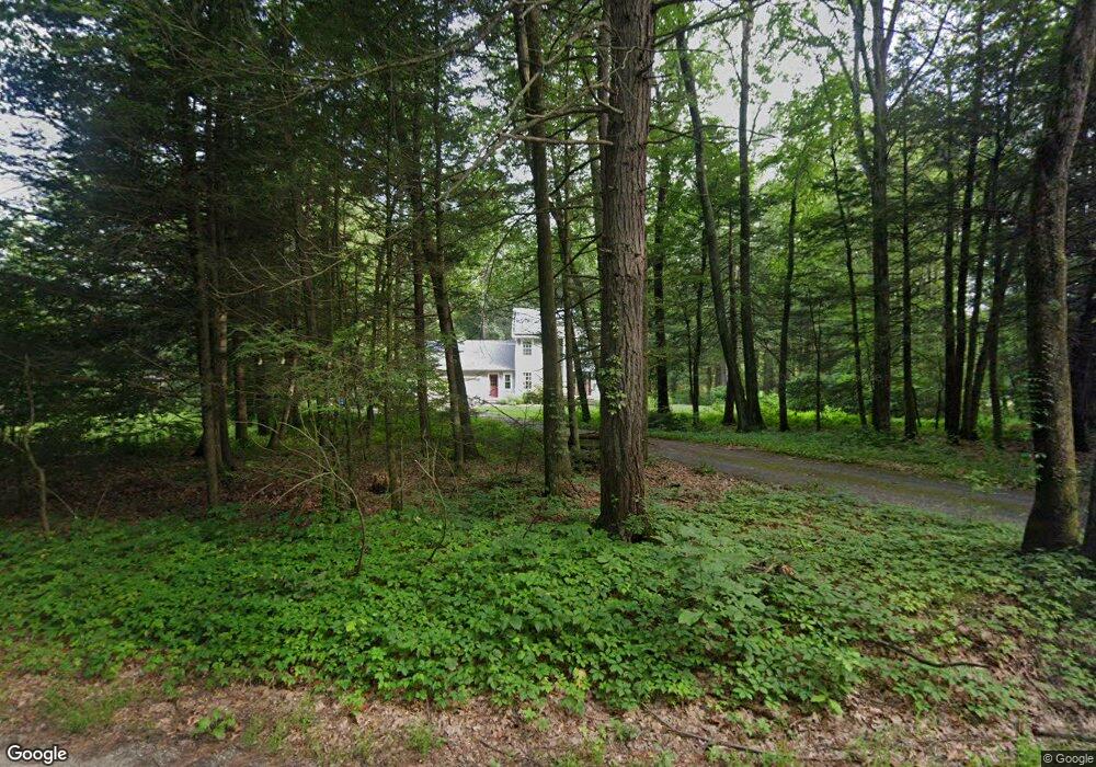
100 Mountain Rd West Hatfield, MA 01088
Estimated Value: $423,000 - $679,000
3
Beds
3
Baths
2,112
Sq Ft
$286/Sq Ft
Est. Value
About This Home
This home is located at 100 Mountain Rd, West Hatfield, MA 01088 and is currently estimated at $604,013, approximately $285 per square foot. 100 Mountain Rd is a home with nearby schools including Browerville Elementary School and Brooklyn Center Middle School.
Ownership History
Date
Name
Owned For
Owner Type
Purchase Details
Closed on
Mar 7, 2000
Sold by
Derrig Lillian Smart and Dickinson Champion
Bought by
Wilson Anita M and Wilson Douglas J
Current Estimated Value
Create a Home Valuation Report for This Property
The Home Valuation Report is an in-depth analysis detailing your home's value as well as a comparison with similar homes in the area
Home Values in the Area
Average Home Value in this Area
Purchase History
| Date | Buyer | Sale Price | Title Company |
|---|---|---|---|
| Wilson Anita M | $50,000 | -- |
Source: Public Records
Mortgage History
| Date | Status | Borrower | Loan Amount |
|---|---|---|---|
| Open | Wilson Anita M | $148,500 | |
| Closed | Wilson Anita M | $50,000 | |
| Closed | Wilson Anita M | $40,000 | |
| Closed | Wilson Anita M | $160,000 |
Source: Public Records
Tax History Compared to Growth
Tax History
| Year | Tax Paid | Tax Assessment Tax Assessment Total Assessment is a certain percentage of the fair market value that is determined by local assessors to be the total taxable value of land and additions on the property. | Land | Improvement |
|---|---|---|---|---|
| 2025 | $8,333 | $602,100 | $197,600 | $404,500 |
| 2024 | $9,007 | $588,300 | $179,500 | $408,800 |
| 2023 | $6,810 | $505,200 | $123,000 | $382,200 |
| 2022 | $6,663 | $487,400 | $118,500 | $368,900 |
| 2021 | $6,476 | $456,400 | $114,000 | $342,400 |
| 2020 | $6,175 | $456,400 | $114,000 | $342,400 |
| 2019 | $5,694 | $409,900 | $91,500 | $318,400 |
| 2018 | $5,564 | $409,700 | $91,500 | $318,200 |
| 2017 | $5,304 | $401,200 | $87,000 | $314,200 |
| 2016 | $5,193 | $394,000 | $82,500 | $311,500 |
| 2015 | $4,932 | $374,500 | $82,500 | $292,000 |
| 2014 | $4,769 | $376,400 | $82,500 | $293,900 |
Source: Public Records
Map
Nearby Homes
- LOT D Mountain Rd
- 151 Pantry Rd
- 147 Pantry Rd
- 320 West St
- 0 Pantry Rd Unit 73430264
- 121 West St
- 0 North St Unit 73407299
- 0 Straits Rd
- 0 Old Stage Rd Unit 73394977
- 3 Depot Rd
- 32 Swamp Rd
- 34 Gore Ave
- 37 N Farms Rd
- 2B Linseed Rd
- 45 N Farms Rd
- 136 Main St
- 21 Dwight St
- 12 Dwight St
- 18 Elm St
- 43 Laurel Park Unit 43
- 13 Mountain Rd
- 73 Mountain Rd
- 107 Westbrook Rd
- 144 Westbrook Rd
- 103 Westbrook Rd
- 148 Westbrook Rd
- 152 Westbrook Rd
- 99 Westbrook Rd
- 99 Westbrook Rd
- 143 Westbrook Rd
- 95 Westbrook Rd
- 155 Pantry Rd
- 91 Westbrook Rd
- 0 Westbrook Rd (Nes) Unit 72059003
- 00 Westbrook Rd (Nes)
- 000 Westbrook Rd
- 155 Westbrook Rd
- 157 Westbrook Rd
- 147 Westbrook Rd
- 89 Westbrook Rd