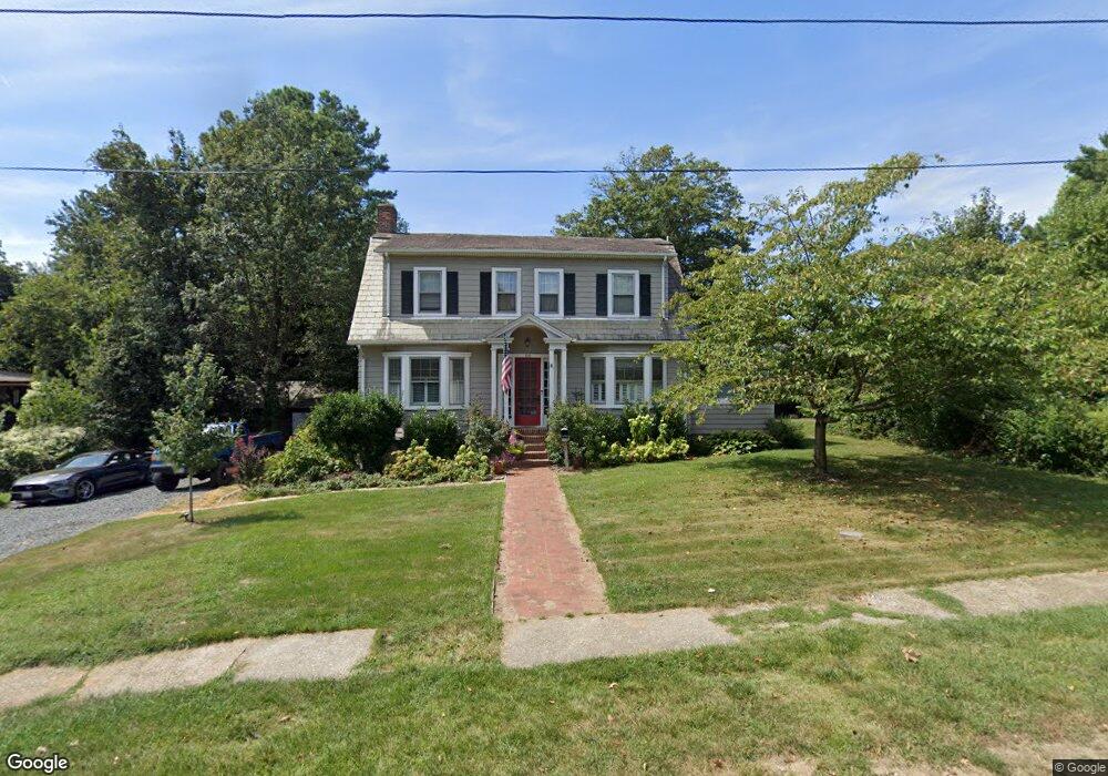
100 Oak Dr Catonsville, MD 21228
Estimated Value: $610,274 - $679,000
--
Bed
2
Baths
2,280
Sq Ft
$278/Sq Ft
Est. Value
About This Home
This home is located at 100 Oak Dr, Catonsville, MD 21228 and is currently estimated at $633,819, approximately $277 per square foot. 100 Oak Dr is a home located in Baltimore County with nearby schools including Hillcrest Elementary School, Catonsville Middle School, and Catonsville High School.
Ownership History
Date
Name
Owned For
Owner Type
Purchase Details
Closed on
Jun 28, 2006
Sold by
Patzer Neil H
Bought by
Lutton Jon Alan and Lutton Melinda Lee
Current Estimated Value
Home Financials for this Owner
Home Financials are based on the most recent Mortgage that was taken out on this home.
Original Mortgage
$25,000
Interest Rate
6.58%
Mortgage Type
Purchase Money Mortgage
Purchase Details
Closed on
Jun 16, 2006
Sold by
Patzer Neil H
Bought by
Lutton Jon Alan and Lutton Melinda Lee
Home Financials for this Owner
Home Financials are based on the most recent Mortgage that was taken out on this home.
Original Mortgage
$25,000
Interest Rate
6.58%
Mortgage Type
Purchase Money Mortgage
Purchase Details
Closed on
Aug 7, 1967
Sold by
Trustees Of The Presbytery Of Balt
Bought by
Patzer Neil H
Create a Home Valuation Report for This Property
The Home Valuation Report is an in-depth analysis detailing your home's value as well as a comparison with similar homes in the area
Home Values in the Area
Average Home Value in this Area
Purchase History
| Date | Buyer | Sale Price | Title Company |
|---|---|---|---|
| Lutton Jon Alan | $517,000 | -- | |
| Lutton Jon Alan | $517,000 | -- | |
| Patzer Neil H | $21,200 | -- |
Source: Public Records
Mortgage History
| Date | Status | Borrower | Loan Amount |
|---|---|---|---|
| Closed | Lutton Jon Alan | $25,000 | |
| Open | Lutton Jon Alan | $413,600 | |
| Closed | Lutton Jon Alan | $413,600 |
Source: Public Records
Tax History Compared to Growth
Tax History
| Year | Tax Paid | Tax Assessment Tax Assessment Total Assessment is a certain percentage of the fair market value that is determined by local assessors to be the total taxable value of land and additions on the property. | Land | Improvement |
|---|---|---|---|---|
| 2025 | $6,365 | $469,233 | -- | -- |
| 2024 | $6,365 | $449,100 | $151,200 | $297,900 |
| 2023 | $3,149 | $440,167 | $0 | $0 |
| 2022 | $5,963 | $431,233 | $0 | $0 |
| 2021 | $5,204 | $422,300 | $151,200 | $271,100 |
| 2020 | $5,970 | $398,867 | $0 | $0 |
| 2019 | $4,550 | $375,433 | $0 | $0 |
| 2018 | $4,837 | $352,000 | $121,200 | $230,800 |
| 2017 | $5,293 | $344,433 | $0 | $0 |
| 2016 | $3,931 | $336,867 | $0 | $0 |
| 2015 | $3,931 | $329,300 | $0 | $0 |
| 2014 | $3,931 | $329,300 | $0 | $0 |
Source: Public Records
Map
Nearby Homes
- 2 Park Dr
- 16 Locust Dr
- 206 S Rolling Rd
- 2 N Beechwood Ave
- 38A Winters Ln
- 42 Winters Ln
- 1326 Brook Rd
- 127 Bloomsbury Ave
- 8 Seminole Ave
- 0 Melvin Ave
- 4 Holmes Ave
- 1218 Mccurley Ave
- 609 Wallerson Rd
- 201 Suter Rd
- 133 Wesley Ave
- 14 Glenwood Ave
- 423 Ingleside Ave
- 27 Glenwood Ave
- 172 Winters Ln
- 15 Shipley Ave