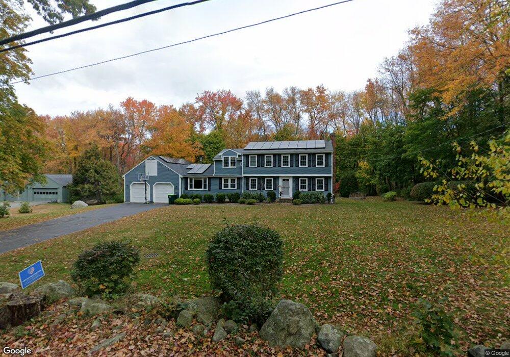
100 Old Lancaster Rd Sudbury, MA 01776
Estimated Value: $1,015,000 - $1,454,000
4
Beds
3
Baths
2,404
Sq Ft
$511/Sq Ft
Est. Value
About This Home
This home is located at 100 Old Lancaster Rd, Sudbury, MA 01776 and is currently estimated at $1,227,377, approximately $510 per square foot. 100 Old Lancaster Rd is a home located in Middlesex County with nearby schools including Israel Loring Elementary School, Ephraim Curtis Middle School, and Lincoln-Sudbury Regional High School.
Ownership History
Date
Name
Owned For
Owner Type
Purchase Details
Closed on
Aug 1, 1989
Sold by
Stadnisky Walter
Bought by
Witkin Thomas A
Current Estimated Value
Home Financials for this Owner
Home Financials are based on the most recent Mortgage that was taken out on this home.
Original Mortgage
$162,500
Interest Rate
9.9%
Mortgage Type
Purchase Money Mortgage
Create a Home Valuation Report for This Property
The Home Valuation Report is an in-depth analysis detailing your home's value as well as a comparison with similar homes in the area
Home Values in the Area
Average Home Value in this Area
Purchase History
| Date | Buyer | Sale Price | Title Company |
|---|---|---|---|
| Witkin Thomas A | $328,000 | -- |
Source: Public Records
Mortgage History
| Date | Status | Borrower | Loan Amount |
|---|---|---|---|
| Open | Witkin Thomas A | $85,000 | |
| Closed | Witkin Thomas A | $162,500 |
Source: Public Records
Tax History Compared to Growth
Tax History
| Year | Tax Paid | Tax Assessment Tax Assessment Total Assessment is a certain percentage of the fair market value that is determined by local assessors to be the total taxable value of land and additions on the property. | Land | Improvement |
|---|---|---|---|---|
| 2025 | $14,682 | $1,002,900 | $463,400 | $539,500 |
| 2024 | $14,135 | $967,500 | $449,800 | $517,700 |
| 2023 | $13,401 | $849,800 | $416,600 | $433,200 |
| 2022 | $12,954 | $717,700 | $382,200 | $335,500 |
| 2021 | $12,496 | $663,600 | $382,200 | $281,400 |
| 2020 | $12,243 | $663,600 | $382,200 | $281,400 |
| 2019 | $12,127 | $677,100 | $382,200 | $294,900 |
| 2018 | $12,036 | $671,300 | $402,200 | $269,100 |
| 2017 | $11,779 | $664,000 | $397,400 | $266,600 |
| 2016 | $11,410 | $641,000 | $382,200 | $258,800 |
| 2015 | $10,931 | $621,100 | $367,400 | $253,700 |
| 2014 | $10,910 | $605,100 | $356,600 | $248,500 |
Source: Public Records
Map
Nearby Homes
- 94 Goodmans Hill Rd
- 36 Concord Rd
- 23 Massasoit Ave
- 270 Old Lancaster Rd
- 1011 Boston Post Rd
- 6 Old County Rd Unit 16
- 216 Landham Rd
- 89 Bridle Path
- 427 Concord Rd
- 24 Woodland Rd
- 7 Adams Rd
- 128 Nobscot Rd
- 24 Goodnow Rd
- 0 Robbins Rd
- 0 Wagonwheel Rd
- 30 Rolling Ln
- 84 Hopestill Brown Rd
- 12 Hickory Rd
- 63 Landham Rd
- 7 Saddle Ridge Rd
- 108 Old Lancaster Rd
- 92 Old Lancaster Rd
- 92 Old Lancaster Rd Unit 92
- 96 Old Lancaster Rd
- 56 Clark Ln
- 53 Clark Ln
- 114 Old Lancaster Rd
- 99 Indian Ridge Rd
- 84 Old Lancaster Rd
- 100 Indian Ridge Rd
- 111 Old Lancaster Rd
- 46 Clark Ln
- 45 Clark Ln
- 93 Indian Ridge Rd
- 120 Old Lancaster Rd
- 119 Pokonoket Ave
- 90 Indian Ridge Rd
- 36 Clark Ln
- 37 Clark Ln
- 125 Old Lancaster Rd