100 Pill Hill Rd Bernardsville, NJ 07924
Estimated Value: $1,420,000 - $1,731,000
--
Bed
--
Bath
4,022
Sq Ft
$388/Sq Ft
Est. Value
About This Home
This home is located at 100 Pill Hill Rd, Bernardsville, NJ 07924 and is currently estimated at $1,559,775, approximately $387 per square foot. 100 Pill Hill Rd is a home located in Somerset County with nearby schools including Bernardsville Middle School, Bernards High School, and Saint James School.
Ownership History
Date
Name
Owned For
Owner Type
Purchase Details
Closed on
Aug 7, 2001
Sold by
Bocina Homes Corp
Bought by
Pizzale James and Parrella Maria
Current Estimated Value
Home Financials for this Owner
Home Financials are based on the most recent Mortgage that was taken out on this home.
Original Mortgage
$687,900
Outstanding Balance
$266,399
Interest Rate
7.05%
Estimated Equity
$1,293,376
Purchase Details
Closed on
Jan 27, 1997
Sold by
Hill Six Pill
Bought by
Chestnut Ridge Devt
Create a Home Valuation Report for This Property
The Home Valuation Report is an in-depth analysis detailing your home's value as well as a comparison with similar homes in the area
Home Values in the Area
Average Home Value in this Area
Purchase History
| Date | Buyer | Sale Price | Title Company |
|---|---|---|---|
| Pizzale James | $861,013 | -- | |
| Chestnut Ridge Devt | $850,000 | -- |
Source: Public Records
Mortgage History
| Date | Status | Borrower | Loan Amount |
|---|---|---|---|
| Open | Pizzale James | $687,900 |
Source: Public Records
Tax History Compared to Growth
Tax History
| Year | Tax Paid | Tax Assessment Tax Assessment Total Assessment is a certain percentage of the fair market value that is determined by local assessors to be the total taxable value of land and additions on the property. | Land | Improvement |
|---|---|---|---|---|
| 2025 | $22,187 | $1,257,700 | $320,800 | $936,900 |
| 2024 | $22,187 | $1,134,900 | $262,200 | $872,700 |
| 2023 | $21,898 | $1,090,000 | $262,200 | $827,800 |
| 2022 | $21,726 | $1,056,700 | $254,600 | $802,100 |
| 2021 | $21,496 | $1,024,600 | $254,600 | $770,000 |
| 2020 | $21,215 | $1,008,300 | $274,600 | $733,700 |
| 2019 | $21,061 | $1,033,400 | $284,600 | $748,800 |
| 2018 | $20,282 | $1,018,700 | $274,600 | $744,100 |
| 2017 | $19,989 | $1,037,300 | $264,600 | $772,700 |
| 2016 | $19,944 | $1,063,100 | $264,600 | $798,500 |
| 2015 | $19,298 | $1,050,500 | $264,600 | $785,900 |
| 2014 | $18,347 | $1,003,100 | $244,600 | $758,500 |
Source: Public Records
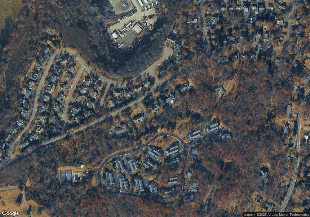
Map
Nearby Homes
- 16 Dayton Crescent
- 117 W Oak St
- 209 Lake Rd
- 20 Anderson Hill Rd
- 22 Dayton St
- 80 Claremont Rd Unit 802
- 80 Claremont Rd Unit 206
- 26 Anderson Hill Rd
- 101 Rippling Brook Way
- 92 Whitenack Rd
- 15 Highview Ave
- 41 Anderson Hill Rd
- 71 Mount Harmony Rd
- 135 Woods End Dr
- 10 Tysley St
- 23 Charlotte Hill Dr
- 453 Mine Brook Rd
- 22 Orchard Hill Rd
- 10 Nancy Ln
- 496 Mine Brook Rd
- 96 Pill Hill Rd
- 29 Stirling Rd
- 31 Stirling Rd
- 27 Stirling Rd
- 108 Countryside Dr
- 33 Stirling Rd
- 94 Pill Hill Rd
- 113 Countryside Dr
- 109 Countryside Dr
- 114 Countryside Dr
- 110 Countryside Dr
- 91 Countryside Dr Ondo
- 111 Countryside Dr
- 112 Countryside Dr
- 94 Countryside Dr
- 1 Countryside Dr
- 3 Countryside Dr
- 105 Countryside Dr
- 95 Countryside Dr
- 99 Countryside Dr