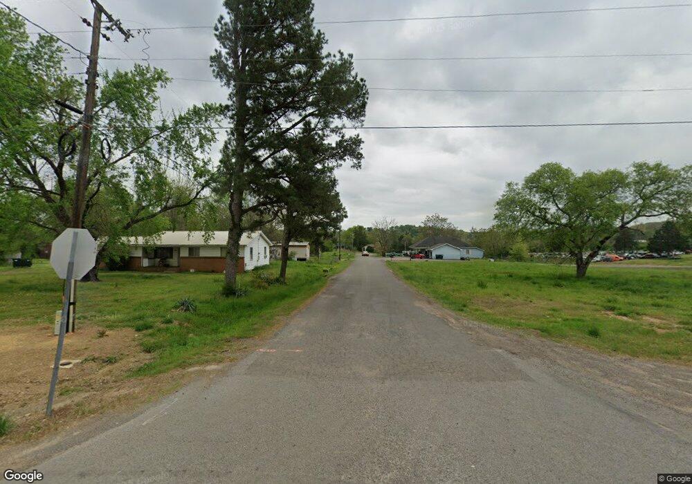
100 S Main St Atkins, AR 72823
Estimated Value: $100,000 - $149,000
3
Beds
2
Baths
1,625
Sq Ft
$77/Sq Ft
Est. Value
About This Home
This home is located at 100 S Main St, Atkins, AR 72823 and is currently estimated at $125,749, approximately $77 per square foot. 100 S Main St is a home located in Pope County with nearby schools including Hector Elementary School and Hector High School.
Ownership History
Date
Name
Owned For
Owner Type
Purchase Details
Closed on
Nov 22, 2024
Sold by
Hamilton Kitty Renee
Bought by
Hamilton Jimmy
Current Estimated Value
Purchase Details
Closed on
Sep 20, 2024
Sold by
Hamilton Joann
Bought by
Hamilton Jimmy
Purchase Details
Closed on
Oct 2, 2019
Sold by
Proctor Philip L and Proctor Janet E
Bought by
Hamilton Jimmy and Hamilton Kitty
Purchase Details
Closed on
Apr 5, 2017
Sold by
Henderson Michael W and Henderson Kyla A
Bought by
Hamilton Jimmy W and Hamilton Kitty R
Home Financials for this Owner
Home Financials are based on the most recent Mortgage that was taken out on this home.
Original Mortgage
$56,980
Interest Rate
4.75%
Mortgage Type
FHA
Purchase Details
Closed on
Dec 18, 1998
Sold by
Not Provided
Bought by
Henderson Michael W and Henderson Kyla
Create a Home Valuation Report for This Property
The Home Valuation Report is an in-depth analysis detailing your home's value as well as a comparison with similar homes in the area
Home Values in the Area
Average Home Value in this Area
Purchase History
| Date | Buyer | Sale Price | Title Company |
|---|---|---|---|
| Hamilton Jimmy | -- | None Listed On Document | |
| Hamilton Jimmy | -- | None Listed On Document | |
| Hamilton Jimmy | -- | None Listed On Document | |
| Hamilton Jimmy | $5,000 | Heritage Title & Closing Co | |
| Hamilton Jimmy W | $60,000 | -- | |
| Henderson Michael W | $53,000 | -- |
Source: Public Records
Mortgage History
| Date | Status | Borrower | Loan Amount |
|---|---|---|---|
| Previous Owner | Hamilton Jimmy W | $56,980 |
Source: Public Records
Tax History Compared to Growth
Tax History
| Year | Tax Paid | Tax Assessment Tax Assessment Total Assessment is a certain percentage of the fair market value that is determined by local assessors to be the total taxable value of land and additions on the property. | Land | Improvement |
|---|---|---|---|---|
| 2025 | $686 | $14,010 | $600 | $13,410 |
| 2024 | $686 | $14,010 | $600 | $13,410 |
| 2023 | $686 | $14,010 | $600 | $13,410 |
| 2022 | $311 | $14,010 | $600 | $13,410 |
| 2021 | $310 | $14,010 | $600 | $13,410 |
| 2020 | $277 | $13,310 | $600 | $12,710 |
| 2019 | $277 | $13,310 | $600 | $12,710 |
| 2018 | $302 | $13,310 | $600 | $12,710 |
| 2017 | $652 | $13,310 | $600 | $12,710 |
| 2016 | $284 | $12,930 | $600 | $12,330 |
| 2015 | $603 | $12,310 | $680 | $11,630 |
| 2014 | $229 | $11,820 | $680 | $11,140 |
Source: Public Records
Map
Nearby Homes
- 171 Tate St
- 115 Billy Gray Rd W
- 147 Willsfield Rd
- 1531 Mount Zion Rd
- 000 Cedar Creek Dr Unit LotWP001
- 0 Granny Hollar Rd Unit 1326527
- 1230 Granny Hollar Rd
- 00 Hunnicutt Loop
- 0 Highway 124 Unit LotWP001 24471695
- 468 Highway 124
- 000 Arkansas 124
- 6 Shafer Ln
- 13610 Sr 105 N
- 00 Caglesville Ln
- 13985 Sr 124
- 000 Stafford Rd
- 0 St Joe Rd Unit 1314310
- 0 Caballo Ranch Rd
- 2 Cannaday Flat Rd
- 0 Cannaday Flat Rd
