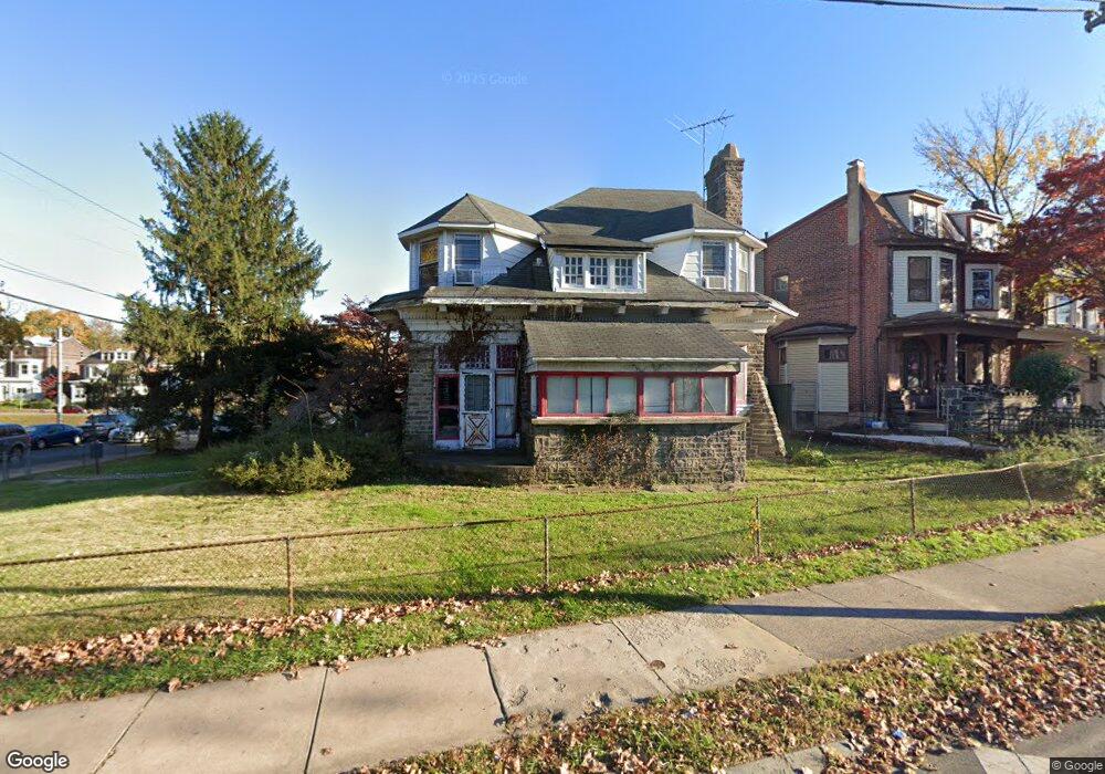
1000 Arrott St Philadelphia, PA 19124
Lawncrest NeighborhoodEstimated Value: $272,000 - $379,000
--
Bed
--
Bath
2,800
Sq Ft
$116/Sq Ft
Est. Value
About This Home
This home is located at 1000 Arrott St, Philadelphia, PA 19124 and is currently estimated at $323,602, approximately $115 per square foot. 1000 Arrott St is a home located in Philadelphia County with nearby schools including John Marshall School, Harding Warren G Middle School, and Frankford High School.
Ownership History
Date
Name
Owned For
Owner Type
Purchase Details
Closed on
Aug 31, 2005
Sold by
Kusznir Virginia C
Bought by
Nilsen Jason
Current Estimated Value
Home Financials for this Owner
Home Financials are based on the most recent Mortgage that was taken out on this home.
Original Mortgage
$87,550
Outstanding Balance
$56,191
Interest Rate
9.45%
Mortgage Type
Purchase Money Mortgage
Estimated Equity
$267,411
Create a Home Valuation Report for This Property
The Home Valuation Report is an in-depth analysis detailing your home's value as well as a comparison with similar homes in the area
Home Values in the Area
Average Home Value in this Area
Purchase History
| Date | Buyer | Sale Price | Title Company |
|---|---|---|---|
| Nilsen Jason | $87,550 | First American Title Ins Co |
Source: Public Records
Mortgage History
| Date | Status | Borrower | Loan Amount |
|---|---|---|---|
| Open | Nilsen Jason | $87,550 |
Source: Public Records
Tax History Compared to Growth
Tax History
| Year | Tax Paid | Tax Assessment Tax Assessment Total Assessment is a certain percentage of the fair market value that is determined by local assessors to be the total taxable value of land and additions on the property. | Land | Improvement |
|---|---|---|---|---|
| 2026 | $3,624 | $362,400 | $72,400 | $290,000 |
| 2025 | $3,624 | $362,400 | $72,400 | $290,000 |
| 2024 | $3,624 | $362,400 | $72,400 | $290,000 |
| 2023 | $3,624 | $258,900 | $51,780 | $207,120 |
| 2022 | $2,367 | $258,900 | $51,780 | $207,120 |
| 2021 | $2,367 | $0 | $0 | $0 |
| 2020 | $2,367 | $0 | $0 | $0 |
| 2019 | $2,360 | $0 | $0 | $0 |
| 2018 | $2,322 | $0 | $0 | $0 |
| 2017 | $2,322 | $0 | $0 | $0 |
| 2016 | $2,322 | $0 | $0 | $0 |
| 2015 | $2,223 | $0 | $0 | $0 |
| 2014 | -- | $165,900 | $132,572 | $33,328 |
| 2012 | -- | $23,040 | $6,119 | $16,921 |
Source: Public Records
Map
Nearby Homes
- 1001-3 Arrott St
- 4717 Northwood St
- 926 Foulkrod St
- 1859 Harrison St
- 1052 Allengrove St
- 4600 Horrocks St
- 1241 Orthodox St
- 4632 Oakland St
- 4628 Pilling St
- 4626 Pilling St
- 1300 Harrison St
- 4046 E Roosevelt Blvd
- 1242 48 Adams Ave
- 4431 Oakland St
- 1335 Fillmore St
- 1208 Unity St
- 1208 Haworth St
- 1214 Haworth St
- 1338-40 Sellers St
- 4704 E Roosevelt Blvd
- 4699 Castor Ave
- 4697 Castor Ave
- 4690 Castor Ave
- 4680 Castor Ave
- 4695 Castor Ave
- 4693 Castor Ave
- 962 Arrott St
- 4691 Adams Ave
- 933 Adams Ave
- 4689 Adams Ave
- 4700 Castor Ave
- 4687 Adams Ave
- 960 Arrott St
- 4685 Adams Ave
- 931 Adams Ave
- 4683 Adams Ave
- 4681 Adams Ave
- 961 Arrott St
- 4666 Castor Ave
- 4712 Castor Ave