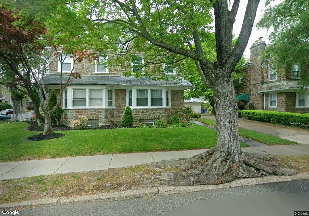
1001 Haworth St Philadelphia, PA 19124
Lawncrest NeighborhoodEstimated Value: $321,376 - $356,000
--
Bed
--
Bath
2,332
Sq Ft
$146/Sq Ft
Est. Value
About This Home
This home is located at 1001 Haworth St, Philadelphia, PA 19124 and is currently estimated at $340,844, approximately $146 per square foot. 1001 Haworth St is a home located in Philadelphia County with nearby schools including Frankford High School, The Philadelphia Charter School for the Arts & Sciences, and Northwood Academy Charter School.
Ownership History
Date
Name
Owned For
Owner Type
Purchase Details
Closed on
Feb 15, 2001
Sold by
Perpetua Allen William and Perpetua Gordon
Bought by
Hollinger Carolyn D
Current Estimated Value
Home Financials for this Owner
Home Financials are based on the most recent Mortgage that was taken out on this home.
Original Mortgage
$103,175
Interest Rate
7.15%
Mortgage Type
FHA
Create a Home Valuation Report for This Property
The Home Valuation Report is an in-depth analysis detailing your home's value as well as a comparison with similar homes in the area
Home Values in the Area
Average Home Value in this Area
Purchase History
| Date | Buyer | Sale Price | Title Company |
|---|---|---|---|
| Hollinger Carolyn D | $104,000 | -- |
Source: Public Records
Mortgage History
| Date | Status | Borrower | Loan Amount |
|---|---|---|---|
| Previous Owner | Hollinger Carolyn D | $103,175 |
Source: Public Records
Tax History Compared to Growth
Tax History
| Year | Tax Paid | Tax Assessment Tax Assessment Total Assessment is a certain percentage of the fair market value that is determined by local assessors to be the total taxable value of land and additions on the property. | Land | Improvement |
|---|---|---|---|---|
| 2026 | $3,551 | $277,400 | $55,480 | $221,920 |
| 2025 | $3,551 | $277,400 | $55,480 | $221,920 |
| 2024 | $3,551 | $277,400 | $55,480 | $221,920 |
| 2023 | $3,551 | $253,700 | $50,740 | $202,960 |
| 2022 | $2,178 | $208,700 | $50,740 | $157,960 |
| 2021 | $2,808 | $0 | $0 | $0 |
| 2020 | $2,808 | $0 | $0 | $0 |
| 2019 | $2,695 | $0 | $0 | $0 |
| 2018 | $2,793 | $0 | $0 | $0 |
| 2017 | $2,793 | $0 | $0 | $0 |
| 2016 | $2,373 | $0 | $0 | $0 |
| 2015 | $2,271 | $0 | $0 | $0 |
| 2014 | -- | $199,500 | $65,651 | $133,849 |
| 2012 | -- | $22,816 | $4,717 | $18,099 |
Source: Public Records
Map
Nearby Homes
- 1052 Allengrove St
- 1859 Harrison St
- 4046 E Roosevelt Blvd
- 1048 Bridge St
- 926 Foulkrod St
- 5505 Loretto Ave
- 1208 Haworth St
- 1204 Pratt St
- 1214 Haworth St
- 1218 Pratt St
- 1220 Pratt St
- 4717 Northwood St
- 1137 Bridge St
- 5118 Oakland St
- 1001-3 Arrott St
- 5640 Miriam Rd
- 5659 Miriam Rd
- 5661 Miriam Rd
- 894 Granite St
- 1300 Harrison St
- 1003 Haworth St
- 1005 Haworth St
- 1007 Haworth St
- 1000 Dyre St
- 5016 Castor Ave
- 1010 Dyre St
- 1000 Haworth St
- 1009 Haworth St
- 1002 Haworth St
- 5018 Castor Ave
- 1004 Haworth St
- 5020 Castor Ave
- 5010 Castor Ave
- 1006 Haworth St
- 5022 Castor Ave
- 1011 Haworth St
- 5014 Castor Ave
- 5008 Castor Ave
- 1008 Haworth St
- 997 E Godfrey Ave