1001 Kristen Ln Orange City, FL 32763
Estimated Value: $382,000 - $657,131
3
Beds
2
Baths
2,387
Sq Ft
$206/Sq Ft
Est. Value
About This Home
This home is located at 1001 Kristen Ln, Orange City, FL 32763 and is currently estimated at $492,033, approximately $206 per square foot. 1001 Kristen Ln is a home located in Volusia County with nearby schools including Orange City Elementary School, River Springs Middle School, and University High School.
Ownership History
Date
Name
Owned For
Owner Type
Purchase Details
Closed on
Dec 19, 2001
Sold by
Schwab Randall E and Schwab Janine W
Bought by
Manning Glenn Allen and Manning Gina Marie
Current Estimated Value
Home Financials for this Owner
Home Financials are based on the most recent Mortgage that was taken out on this home.
Original Mortgage
$100,000
Outstanding Balance
$38,843
Interest Rate
6.49%
Mortgage Type
Purchase Money Mortgage
Estimated Equity
$453,190
Purchase Details
Closed on
Jun 15, 1989
Bought by
Manning Glenn Allen
Create a Home Valuation Report for This Property
The Home Valuation Report is an in-depth analysis detailing your home's value as well as a comparison with similar homes in the area
Home Values in the Area
Average Home Value in this Area
Purchase History
| Date | Buyer | Sale Price | Title Company |
|---|---|---|---|
| Manning Glenn Allen | $160,000 | -- | |
| Manning Glenn Allen | $27,000 | -- |
Source: Public Records
Mortgage History
| Date | Status | Borrower | Loan Amount |
|---|---|---|---|
| Open | Manning Glenn Allen | $100,000 |
Source: Public Records
Tax History Compared to Growth
Tax History
| Year | Tax Paid | Tax Assessment Tax Assessment Total Assessment is a certain percentage of the fair market value that is determined by local assessors to be the total taxable value of land and additions on the property. | Land | Improvement |
|---|---|---|---|---|
| 2025 | $3,069 | $206,358 | -- | -- |
| 2024 | $3,069 | $200,543 | -- | -- |
| 2023 | $3,069 | $194,702 | $0 | $0 |
| 2022 | $3,005 | $189,031 | $0 | $0 |
| 2021 | $3,111 | $183,525 | $0 | $0 |
| 2020 | $3,065 | $180,991 | $0 | $0 |
| 2019 | $3,160 | $176,922 | $0 | $0 |
| 2018 | $3,151 | $173,623 | $0 | $0 |
| 2017 | $3,154 | $170,052 | $0 | $0 |
| 2016 | $3,013 | $166,554 | $0 | $0 |
| 2015 | $3,072 | $165,396 | $0 | $0 |
| 2014 | $3,041 | $164,083 | $0 | $0 |
Source: Public Records
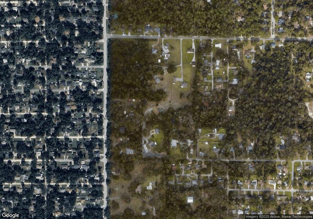
Map
Nearby Homes
- 1600 Ace Park Dr
- 00 7th St
- 1171 9th St
- 0 Strickland Ave
- 0 14th St Unit 11570263
- 0 14th St Unit MFRS5133079
- 851 W Wisconsin Ave
- 1261 10th St
- 1275 10th St
- 0 10th St Unit MFRV4941473
- 1145 15th St
- 711 Sunset Ave
- 782 Valencia Ave
- 0 Valencia Ave
- 0 9th St
- 2485 Blue Ridge Ave
- 0 Blue Ridge Ave
- 571 James St
- 1410 5th St
- 940 W Minnesota Ave
- 901 W Wisconsin Ave
- 920 Hamilton Ave
- 1006 W New York Ave
- 1000 Kristen Ln
- 0 7th St Unit V4647023
- 0 7th St Unit V4914437
- 930 Hamilton Ave
- 880 Hamilton Ave
- 903 W Wisconsin Ave
- 1004 W New York Ave
- 870 Hamilton Ave
- 1601 Ace Park Dr
- 860 Hamilton Ave
- 1621 Ace Park Dr
- 1050 W New York Ave
- Hamilton Ave
- Hamilton Ave
- Hamilton Ave
- Hamilton Ave
- Hamilton Ave