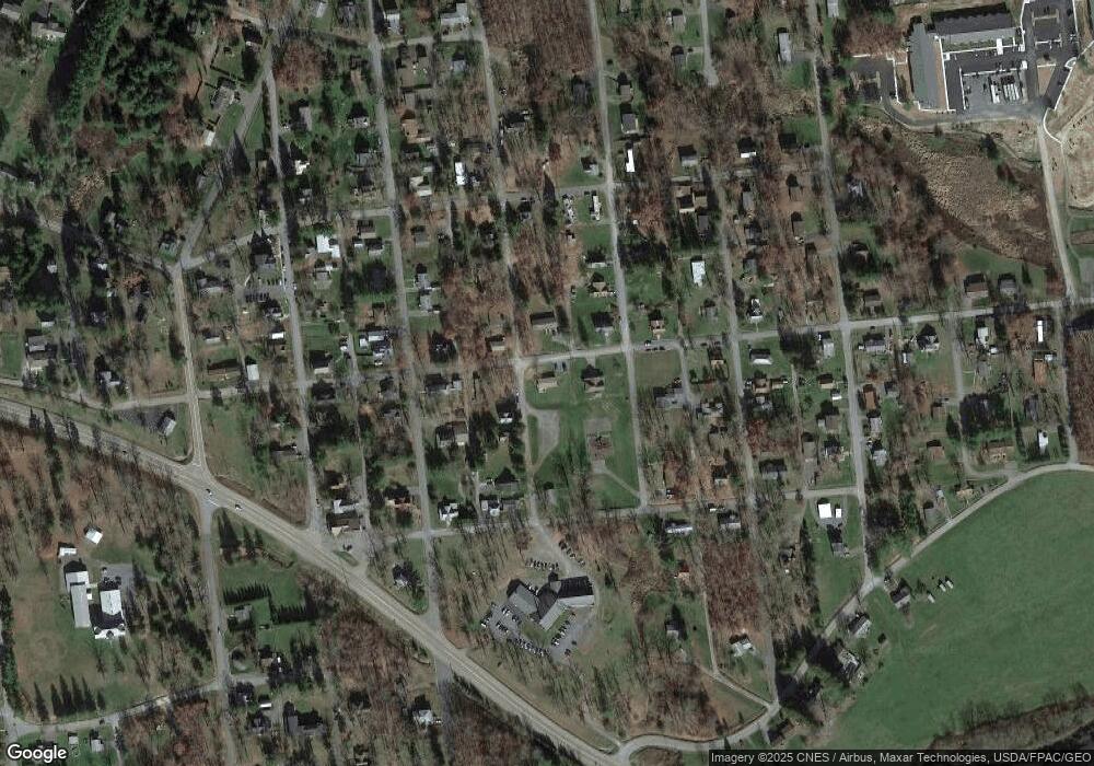
1001 Oakland Ave Oakland, MD 21550
Estimated Value: $125,000 - $172,000
--
Bed
1
Bath
1,152
Sq Ft
$134/Sq Ft
Est. Value
About This Home
This home is located at 1001 Oakland Ave, Oakland, MD 21550 and is currently estimated at $154,773, approximately $134 per square foot. 1001 Oakland Ave is a home located in Garrett County with nearby schools including Broad Ford Elementary School, Southern Middle School, and Southern Garrett High School.
Ownership History
Date
Name
Owned For
Owner Type
Purchase Details
Closed on
Sep 1, 2022
Sold by
Mcdaniel Shasta E
Bought by
Buffalo Mountain Homes Llc
Current Estimated Value
Purchase Details
Closed on
Jan 28, 2022
Sold by
Spiker Justin R
Bought by
Mcdaniel Shasta E
Purchase Details
Closed on
Mar 26, 2004
Sold by
Whitcomb Darlene L
Bought by
Spiker Justin R and Spiker Shasta E
Purchase Details
Closed on
Apr 6, 1998
Sold by
Whitcomb Fabian M and Whitcomb Darlene L
Bought by
Whitcomb Darlene L
Purchase Details
Closed on
Nov 27, 1996
Sold by
Steffan Stephen D and Steffan Darlene L
Bought by
Whitcomb Fabian M and Whitcomb Darlene L
Create a Home Valuation Report for This Property
The Home Valuation Report is an in-depth analysis detailing your home's value as well as a comparison with similar homes in the area
Home Values in the Area
Average Home Value in this Area
Purchase History
| Date | Buyer | Sale Price | Title Company |
|---|---|---|---|
| Buffalo Mountain Homes Llc | $50,000 | None Listed On Document | |
| Buffalo Mountain Homes Llc | $50,000 | None Listed On Document | |
| Mcdaniel Shasta E | -- | Mattingly Amanda D | |
| Spiker Justin R | $25,325 | -- | |
| Whitcomb Darlene L | -- | -- | |
| Whitcomb Fabian M | $7,500 | -- |
Source: Public Records
Mortgage History
| Date | Status | Borrower | Loan Amount |
|---|---|---|---|
| Closed | Whitcomb Fabian M | -- |
Source: Public Records
Tax History Compared to Growth
Tax History
| Year | Tax Paid | Tax Assessment Tax Assessment Total Assessment is a certain percentage of the fair market value that is determined by local assessors to be the total taxable value of land and additions on the property. | Land | Improvement |
|---|---|---|---|---|
| 2025 | $1,639 | $108,700 | $20,400 | $88,300 |
| 2024 | $1,558 | $99,933 | $0 | $0 |
| 2023 | $1,433 | $91,167 | $0 | $0 |
| 2022 | $1,317 | $82,400 | $20,400 | $62,000 |
| 2021 | $1,256 | $78,133 | $0 | $0 |
| 2020 | $1,187 | $73,867 | $0 | $0 |
| 2019 | $1,118 | $69,600 | $20,400 | $49,200 |
| 2018 | $1,072 | $69,600 | $20,400 | $49,200 |
| 2017 | $1,082 | $69,600 | $0 | $0 |
| 2016 | -- | $70,400 | $0 | $0 |
| 2015 | -- | $70,400 | $0 | $0 |
| 2014 | -- | $70,400 | $0 | $0 |
Source: Public Records
Map
Nearby Homes
- 607 K St
- 104 G St
- 723 Kings Ct
- 809 N St
- 18 Hoye Crest Rd
- 102 Roanoke Ave
- 127 S Oakhall Dr
- Lots 26-29 E Third Ave
- 210 Seneca Ave
- 609 Southern Pines Dr
- 1056 Sunrise Dr
- 0 Weber Ct
- 445 Dennett Rd
- 0 8th & Dennett Road St Unit MDGA2009886
- 0 Memorial Dr Unit MDGA2010668
- 611 E Oak St
- 315 Coolidge Ave
- 511 E Green St
- 503 E Alder St
- 163 Mitchell Dr
