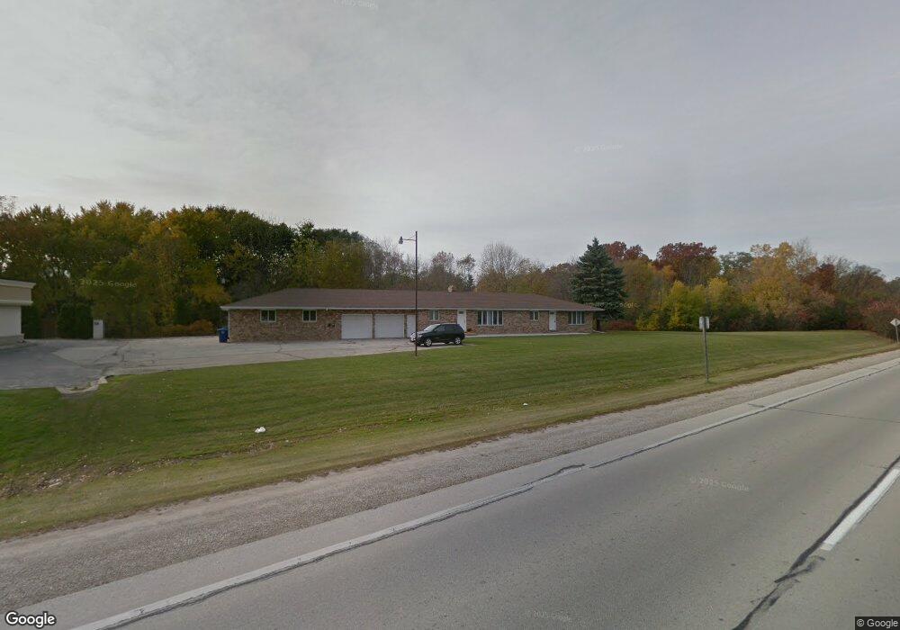
1006 S Broadway de Pere, WI 54115
Estimated Value: $366,000 - $429,901
5
Beds
2
Baths
2,836
Sq Ft
$137/Sq Ft
Est. Value
About This Home
This home is located at 1006 S Broadway, de Pere, WI 54115 and is currently estimated at $388,975, approximately $137 per square foot. 1006 S Broadway is a home located in Brown County with nearby schools including Susie C. Altmayer Elementary School, Foxview Intermediate School, and De Pere Middle School.
Ownership History
Date
Name
Owned For
Owner Type
Purchase Details
Closed on
Apr 22, 2004
Sold by
Clarksen Marvin J and Clarksen Sandra L
Bought by
Dorn Allan L and Dorn Katie J
Current Estimated Value
Home Financials for this Owner
Home Financials are based on the most recent Mortgage that was taken out on this home.
Original Mortgage
$174,400
Outstanding Balance
$81,039
Interest Rate
5.48%
Mortgage Type
Purchase Money Mortgage
Estimated Equity
$307,936
Create a Home Valuation Report for This Property
The Home Valuation Report is an in-depth analysis detailing your home's value as well as a comparison with similar homes in the area
Home Values in the Area
Average Home Value in this Area
Purchase History
| Date | Buyer | Sale Price | Title Company |
|---|---|---|---|
| Dorn Allan L | $218,000 | Title Trends |
Source: Public Records
Mortgage History
| Date | Status | Borrower | Loan Amount |
|---|---|---|---|
| Open | Dorn Allan L | $174,400 |
Source: Public Records
Tax History Compared to Growth
Tax History
| Year | Tax Paid | Tax Assessment Tax Assessment Total Assessment is a certain percentage of the fair market value that is determined by local assessors to be the total taxable value of land and additions on the property. | Land | Improvement |
|---|---|---|---|---|
| 2024 | $5,922 | $399,300 | $47,400 | $351,900 |
| 2023 | $5,061 | $354,400 | $47,400 | $307,000 |
| 2022 | $4,741 | $317,300 | $47,400 | $269,900 |
| 2021 | $4,493 | $284,100 | $39,500 | $244,600 |
| 2020 | $4,554 | $265,900 | $39,500 | $226,400 |
| 2019 | $4,647 | $246,100 | $39,500 | $206,600 |
| 2018 | $4,835 | $233,500 | $39,500 | $194,000 |
| 2017 | $4,301 | $209,300 | $39,500 | $169,800 |
| 2016 | $5,609 | $209,300 | $39,500 | $169,800 |
| 2015 | $6,061 | $219,400 | $36,800 | $182,600 |
| 2014 | $5,890 | $219,400 | $36,800 | $182,600 |
| 2013 | $5,890 | $219,400 | $36,800 | $182,600 |
Source: Public Records
Map
Nearby Homes
- 830 S Superior St Unit 832
- 717 4th St
- 416 Lansdowne St
- 410 Battery Ave
- 363 Battery Ave
- 1611 N Honeysuckle Cir
- 305 Battery Ave
- 385 Battery Ave
- 413 Brookline Ave
- 337 Battery Ave
- 400 Battery Ave
- 318 S Webster Ave
- 806 4th St
- 1861 Chicago St
- 1120 Cardinal St
- 1004 Gulfstream Ct
- 200 William St Unit 402
- 237 S Clay St
- 120 N Winnebago St
- 1144 Jordan Rd
- 917 Georgia Dr
- 923 Georgia Dr
- 902 S Superior St Unit 904
- 834 S Superior St Unit 836
- 1001 Georgia Dr
- 908 S Superior St
- 900 Georgia Dr
- 451 Cook St
- 824 S Superior St
- 447 Cook St
- 920 S Superior St
- 906 Georgia Dr
- 1025 Georgia Dr
- 912 Georgia Dr
- 816 S Superior St Unit 818
- 901 S Superior St Unit 903
- 918 Georgia Dr
- 1000 Georgia Dr
- 412 Bomier St
- 412 Bomier St Unit BLOCK