Estimated Value: $92,000 - $217,000
3
Beds
1
Bath
1,096
Sq Ft
$149/Sq Ft
Est. Value
About This Home
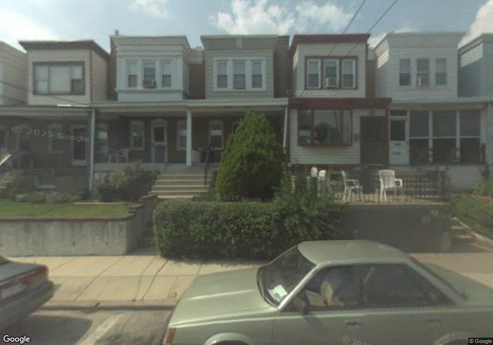
This home is located at 1009 Andrews Ave, Darby, PA 19023 and is currently estimated at $163,658, approximately $149 per square foot. 1009 Andrews Ave is a home located in Delaware County with nearby schools including Harris School, Academy Park High School, and Liberty Baptist Academy.
Ownership History
Date
Name
Owned For
Owner Type
Purchase Details
Closed on
Mar 25, 2010
Sold by
Federal Home Loan Mortgage Corporation
Bought by
Rappa David and Cocci Rappa Maryann
Current Estimated Value
Purchase Details
Closed on
Aug 7, 2009
Sold by
Fleming Hershey Christine M
Bought by
Federal Home Loan Mortgage Corp
Purchase Details
Closed on
Feb 9, 1996
Sold by
Kane Christine M Fleming and Hershey Christine M
Bought by
Hershey Christine M
Create a Home Valuation Report for This Property
The Home Valuation Report is an in-depth analysis detailing your home's value as well as a comparison with similar homes in the area
Home Values in the Area
Average Home Value in this Area
Purchase History
| Date | Buyer | Sale Price | Title Company |
|---|---|---|---|
| Rappa David | $45,000 | Land Title Svcs Of Nj Inc | |
| Federal Home Loan Mortgage Corp | -- | None Available | |
| Hershey Christine M | -- | -- |
Source: Public Records
Tax History Compared to Growth
Tax History
| Year | Tax Paid | Tax Assessment Tax Assessment Total Assessment is a certain percentage of the fair market value that is determined by local assessors to be the total taxable value of land and additions on the property. | Land | Improvement |
|---|---|---|---|---|
| 2025 | $3,619 | $79,910 | $19,890 | $60,020 |
| 2024 | $3,619 | $79,910 | $19,890 | $60,020 |
| 2023 | $3,523 | $79,910 | $19,890 | $60,020 |
| 2022 | $3,389 | $79,910 | $19,890 | $60,020 |
| 2021 | $4,668 | $79,910 | $19,890 | $60,020 |
| 2020 | $2,330 | $36,660 | $16,390 | $20,270 |
| 2019 | $2,246 | $36,660 | $16,390 | $20,270 |
| 2018 | $2,196 | $36,660 | $0 | $0 |
| 2017 | $3,221 | $54,780 | $0 | $0 |
| 2016 | $301 | $54,780 | $0 | $0 |
| 2015 | $307 | $54,780 | $0 | $0 |
| 2014 | $301 | $54,780 | $0 | $0 |
Source: Public Records
Map
Nearby Homes
- 1011 Andrews Ave
- 1025 Andrews Ave
- 222 Collingdale Ave
- 933 Bedford Ave
- 164 Wayne Ave
- 924 Pitman Ave
- 149 Wayne Ave
- 126 Hansen Terrace
- 921 Pitman Ave
- 308 Clifton Ave
- 539 Pershing Ave
- 1119 Chestnut St
- 50 Foster Ave
- 44 High St
- 909 Walnut St
- 1018 Broad St
- 118 Juliana Terrace
- 605 Andrews Ave
- 815 Clifton Ave
- 230 Felton Ave
- 1007 Andrews Ave
- 1005 Andrews Ave
- 1013 Andrews Ave
- 1003 Andrews Ave
- 1017 Andrews Ave
- 1001 Andrews Ave
- 1001 Andrews Ave Unit 5
- 1019 Andrews Ave
- 1023 Andrews Ave
- 1010 Beechwood Ave
- 1027 Andrews Ave
- 1004 Andrews Ave
- 1002 Andrews Ave
- 1010 Andrews Ave
- 1012 Andrews Ave
- 1000 Andrews Ave
- 1014 Andrews Ave
- 1029 Andrews Ave
- 1016 Andrews Ave
- 1018 Andrews Ave