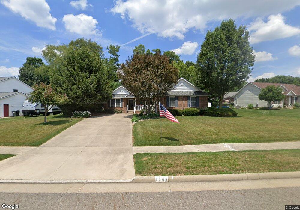
1009 E Reno Dr Louisville, OH 44641
Estimated Value: $303,000 - $331,000
3
Beds
3
Baths
1,822
Sq Ft
$172/Sq Ft
Est. Value
About This Home
This home is located at 1009 E Reno Dr, Louisville, OH 44641 and is currently estimated at $314,203, approximately $172 per square foot. 1009 E Reno Dr is a home located in Stark County with nearby schools including Louisville High School and St. Thomas Aquinas High School & Middle School.
Ownership History
Date
Name
Owned For
Owner Type
Purchase Details
Closed on
Apr 16, 2018
Sold by
Duff Robert W and Duff Sandra L
Bought by
Duff Robert W and Duff Sandra L
Current Estimated Value
Purchase Details
Closed on
Jul 15, 1999
Sold by
Mckinley Development Company
Bought by
Duff Robert W and Duff Sanra L
Home Financials for this Owner
Home Financials are based on the most recent Mortgage that was taken out on this home.
Original Mortgage
$148,500
Interest Rate
7.12%
Mortgage Type
Construction
Create a Home Valuation Report for This Property
The Home Valuation Report is an in-depth analysis detailing your home's value as well as a comparison with similar homes in the area
Home Values in the Area
Average Home Value in this Area
Purchase History
| Date | Buyer | Sale Price | Title Company |
|---|---|---|---|
| Duff Robert W | -- | None Available | |
| Duff Robert W | $34,900 | -- |
Source: Public Records
Mortgage History
| Date | Status | Borrower | Loan Amount |
|---|---|---|---|
| Previous Owner | Duff Robert W | $148,500 |
Source: Public Records
Tax History Compared to Growth
Tax History
| Year | Tax Paid | Tax Assessment Tax Assessment Total Assessment is a certain percentage of the fair market value that is determined by local assessors to be the total taxable value of land and additions on the property. | Land | Improvement |
|---|---|---|---|---|
| 2025 | -- | $103,040 | $35,770 | $67,270 |
| 2024 | -- | $103,040 | $35,770 | $67,270 |
| 2023 | $2,960 | $78,060 | $21,180 | $56,880 |
| 2022 | $2,984 | $78,060 | $21,180 | $56,880 |
| 2021 | $2,993 | $78,060 | $21,180 | $56,880 |
| 2020 | $2,387 | $68,780 | $19,080 | $49,700 |
| 2019 | $2,391 | $71,480 | $19,080 | $52,400 |
| 2018 | $2,495 | $71,480 | $19,080 | $52,400 |
| 2017 | $2,195 | $61,990 | $14,980 | $47,010 |
| 2016 | $2,240 | $61,990 | $14,980 | $47,010 |
| 2015 | $2,246 | $61,990 | $14,980 | $47,010 |
| 2014 | $149 | $56,110 | $13,550 | $42,560 |
| 2013 | $1,078 | $56,110 | $13,550 | $42,560 |
Source: Public Records
Map
Nearby Homes
- 910 Crosswyck Cir
- 1170 Winding Ridge Ave
- 316 E Reno Dr
- 428 Honeycrisp Dr NE
- 3047 Mcintosh Dr NE
- 432 Honeycrisp Dr NE
- 2962 Mcintosh Dr NE
- 2963 Mcintosh Dr NE
- 430 Honeycrisp Dr NE
- 2957 Mcintosh Dr NE
- 5474 Ravenna Ave
- 0 Michigan Blvd
- 325 Lincoln Ave
- 524 Glenbar St
- 300 Kennedy St
- 614 Reno Dr
- 0 Glenbar St
- 308 Superior St
- 2015 E Main St
- 0 Brookridge Ave
- 923 E Reno Dr
- 1019 E Reno Dr
- 1019 Reno Dr
- 1353 Cheverton Ave
- 911 E Reno Dr
- 1103 E Reno Dr
- 1103 Reno Dr
- 1004 E Reno Dr
- 1371 Cheverton Ave
- 1296 Winding Ridge Ave
- 1379 Cheverton Ave
- 0 Cheverton Unit 3293569
- 903 Reno Dr
- 1387 Cheverton Ave
- 1368 Cheverton Ave
- 1348 Cheverton Ave
- 1334 Cheverton Ave
- 1282 Winding Ridge Ave
- 1295 Cheverton Ave
- 917 Crosswyck Cir