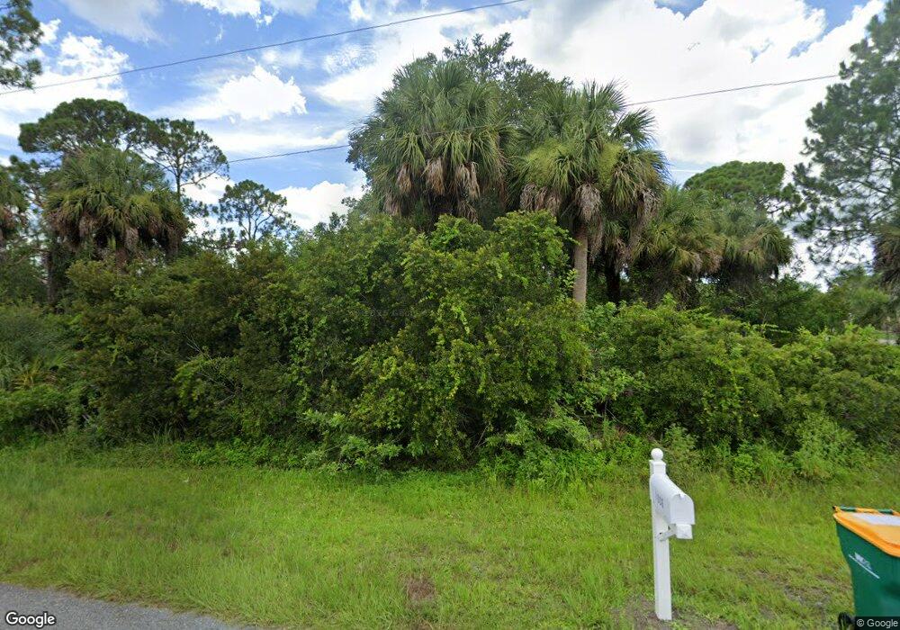
1009 Rhinelander St Port Charlotte, FL 33953
Northwest Port Charlotte NeighborhoodEstimated Value: $26,000 - $45,000
--
Bed
--
Bath
--
Sq Ft
0.28
Acres
About This Home
This home is located at 1009 Rhinelander St, Port Charlotte, FL 33953 and is currently estimated at $35,500. 1009 Rhinelander St is a home located in Charlotte County with nearby schools including Liberty Elementary School, Murdock Middle School, and Port Charlotte High School.
Ownership History
Date
Name
Owned For
Owner Type
Purchase Details
Closed on
Jan 31, 2020
Sold by
5T Wealth Partners Lp
Bought by
Marsh Julie A
Current Estimated Value
Purchase Details
Closed on
Nov 26, 2019
Sold by
Leskiewicz Zbigniew and Leskiewicz Beata
Bought by
5T Wealth Partners Lp
Purchase Details
Closed on
Sep 21, 2011
Sold by
Callaghan William M
Bought by
Leskiewicz Zbigniew and Leskiewicz Beata
Purchase Details
Closed on
Mar 15, 2011
Sold by
Boven Earl H and Boven Eleanor H
Bought by
Callaghan William M
Create a Home Valuation Report for This Property
The Home Valuation Report is an in-depth analysis detailing your home's value as well as a comparison with similar homes in the area
Home Values in the Area
Average Home Value in this Area
Purchase History
| Date | Buyer | Sale Price | Title Company |
|---|---|---|---|
| Marsh Julie A | $3,200 | None Available | |
| 5T Wealth Partners Lp | $3,236 | None Available | |
| Leskiewicz Zbigniew | $2,651 | None Available | |
| Callaghan William M | $2,300 | None Available |
Source: Public Records
Tax History Compared to Growth
Tax History
| Year | Tax Paid | Tax Assessment Tax Assessment Total Assessment is a certain percentage of the fair market value that is determined by local assessors to be the total taxable value of land and additions on the property. | Land | Improvement |
|---|---|---|---|---|
| 2023 | $460 | $4,320 | $0 | $0 |
| 2022 | $435 | $10,200 | $10,200 | $0 |
| 2021 | $390 | $3,570 | $3,570 | $0 |
| 2020 | $381 | $3,570 | $3,570 | $0 |
| 2019 | $379 | $3,570 | $3,570 | $0 |
| 2018 | $369 | $3,315 | $3,315 | $0 |
| 2017 | $372 | $3,596 | $3,596 | $0 |
| 2016 | $368 | $3,443 | $0 | $0 |
| 2015 | $364 | $3,137 | $0 | $0 |
| 2014 | $262 | $3,114 | $0 | $0 |
Source: Public Records
Map
Nearby Homes
- 1022 Forrestal St
- 13018 Chamberlain Blvd
- 12525 Welon Ave
- 1078 Butterfield St
- 494 Dailey St
- 486 Dailey St
- 462 Dailey St
- 12469 Harlow Ave
- 1086 Rhinelander St
- 454 Dailey St
- 12520 Harlow Ave
- 446 Olmstead St
- 1045 Rhinelander St
- 1053 Rhinelander St
- 12551 Ranch Ave
- 12501 Harlow Ave
- 12493 Harlow Ave
- 1014 Nautilus Terrace
- 1200 Butterfield St
- 1039 Gibbon St
- 1006 Rhinelander St
- 12619 Chamberlain Blvd
- 1029 Rhinelander St
- 12630 Chamberlain Blvd
- 12622 Chamberlain Blvd
- 12646 Chamberlain Blvd
- 12602 Chamberlain Blvd
- 1096 Forrestal St
- 12656 Chamberlain Blvd
- 1038 Rhinelander St
- 12559 Welon Ave
- 1031 Stewart St
- 1046 Rhinelander St
- 12588 Chamberlain Blvd
- 1110, 1120 & 1128 Butterfield Dr
- 12591 Chamberlain Blvd
- 12576 Chamberlain Blvd
- 12517 Welon Ave
- 1010 Davenport Dr
- 1093 Butterfield St