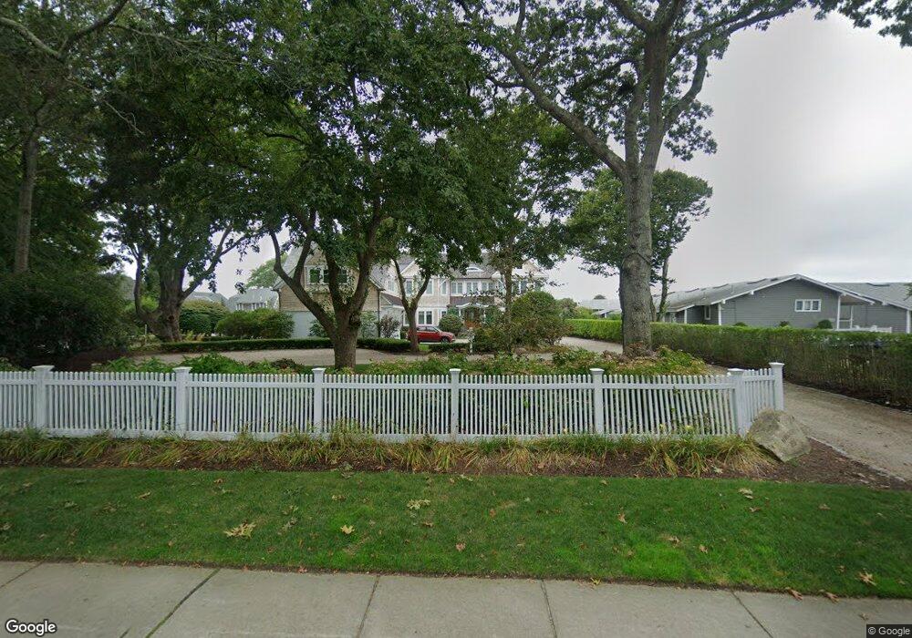
101 Falmouth Heights Rd Falmouth, MA 02540
Falmouth Village NeighborhoodEstimated Value: $2,017,000 - $6,450,050
4
Beds
6
Baths
3,201
Sq Ft
$1,323/Sq Ft
Est. Value
About This Home
This home is located at 101 Falmouth Heights Rd, Falmouth, MA 02540 and is currently estimated at $4,233,525, approximately $1,322 per square foot. 101 Falmouth Heights Rd is a home located in Barnstable County with nearby schools including Mullen-Hall School, Morse Pond School, and Lawrence School.
Ownership History
Date
Name
Owned For
Owner Type
Purchase Details
Closed on
Mar 2, 2000
Sold by
Dicostanzo James G and Dicostanzo Donna M
Bought by
Pam Rt and Dolan
Current Estimated Value
Create a Home Valuation Report for This Property
The Home Valuation Report is an in-depth analysis detailing your home's value as well as a comparison with similar homes in the area
Home Values in the Area
Average Home Value in this Area
Purchase History
| Date | Buyer | Sale Price | Title Company |
|---|---|---|---|
| Pam Rt | $1,800,000 | -- | |
| Pam Rt | $1,800,000 | -- |
Source: Public Records
Mortgage History
| Date | Status | Borrower | Loan Amount |
|---|---|---|---|
| Open | Pam Rt | $482,000 | |
| Closed | Pam Rt | $485,000 | |
| Closed | Pam Rt | $493,000 |
Source: Public Records
Tax History Compared to Growth
Tax History
| Year | Tax Paid | Tax Assessment Tax Assessment Total Assessment is a certain percentage of the fair market value that is determined by local assessors to be the total taxable value of land and additions on the property. | Land | Improvement |
|---|---|---|---|---|
| 2025 | $34,648 | $5,902,500 | $2,518,200 | $3,384,300 |
| 2024 | $33,185 | $5,284,200 | $2,158,500 | $3,125,700 |
| 2023 | $35,160 | $5,080,900 | $2,158,500 | $2,922,400 |
| 2022 | $36,015 | $4,473,900 | $1,840,300 | $2,633,600 |
| 2021 | $36,725 | $4,320,600 | $1,687,000 | $2,633,600 |
| 2020 | $35,734 | $4,159,900 | $1,533,600 | $2,626,300 |
| 2019 | $34,711 | $4,055,000 | $1,533,600 | $2,521,400 |
| 2018 | $38,038 | $4,423,000 | $1,533,600 | $2,889,400 |
| 2017 | $20,609 | $2,416,100 | $1,533,600 | $882,500 |
| 2016 | $20,223 | $2,416,100 | $1,533,600 | $882,500 |
| 2015 | $19,788 | $2,416,100 | $1,533,600 | $882,500 |
| 2014 | $19,069 | $2,339,700 | $1,533,500 | $806,200 |
Source: Public Records
Map
Nearby Homes
- 55 Jericho Path
- 253 Scranton Ave
- 286 Grand Ave Unit 6
- 286 Grand Ave Unit 8
- 286 Grand Ave Unit 4
- 9 Fairmount Ave Unit 1
- 9 Fairmount Ave
- 22 Alma Rd
- 200 Grand Ave
- 480 Main St Unit 1
- 29 Miami Ave
- 110 Dillingham Ave Unit 322
- 61 Menauhant Rd
- 27 Sycamore St
- 65 Walker St
- 98 Main St
- 98 Main St Unit 1
- 65 Cypress St
- 71 Main St
- 107 Falmouth Heights Rd
- 93 Falmouth Heights Rd Unit 10
- 93 Falmouth Heights Rd Unit 9
- 93 Falmouth Heights Rd Unit 8
- 93 Falmouth Heights Rd Unit 7
- 93 Falmouth Heights Rd Unit 6
- 93 Falmouth Heights Rd Unit 5
- 93 Falmouth Heights Rd Unit 4
- 93 Falmouth Heights Rd Unit 3
- 93 Falmouth Heights Rd Unit 2
- 93 Falmouth Heights Rd Unit 1
- 93 Falmouth Heights Rd
- 113 Falmouth Heights Rd Unit 14
- 113 Falmouth Heights Rd
- 91 Falmouth Heights Rd Unit E
- 91 Falmouth Heights Rd Unit D
- 91 Falmouth Heights Rd Unit C
- 91 Falmouth Heights Rd Unit B
- 91 Falmouth Heights Rd Unit A
- 91 Falmouth Heights Rd