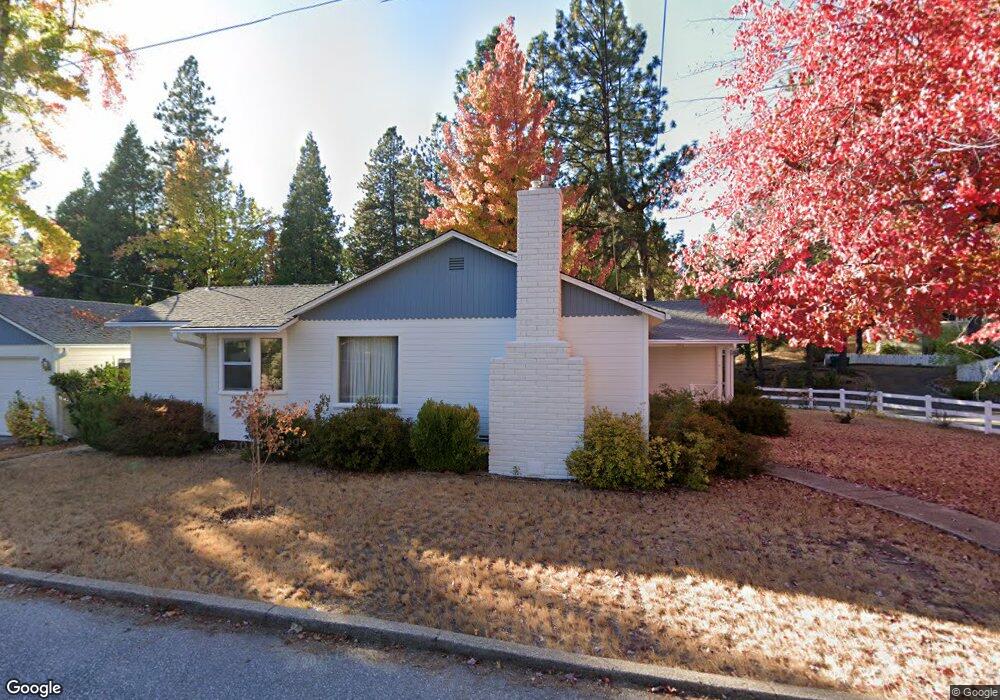
101 Gold Tunnel Dr Nevada City, CA 95959
Estimated Value: $484,441 - $637,000
3
Beds
1
Bath
1,264
Sq Ft
$445/Sq Ft
Est. Value
About This Home
This home is located at 101 Gold Tunnel Dr, Nevada City, CA 95959 and is currently estimated at $563,110, approximately $445 per square foot. 101 Gold Tunnel Dr is a home located in Nevada County with nearby schools including Deer Creek Elementary School, Seven Hills Intermediate School, and Forest Charter School.
Ownership History
Date
Name
Owned For
Owner Type
Purchase Details
Closed on
Aug 6, 2012
Sold by
Sahl Janet E and Sahl Andrew James
Bought by
Murray David L
Current Estimated Value
Purchase Details
Closed on
Jan 26, 2012
Sold by
Murray Gertrude S and Sahl Janet E
Bought by
Sahl Janet E and Murray David L
Purchase Details
Closed on
Jun 29, 1999
Sold by
Murray Albert L and Murray Gertrude
Bought by
Murray Albert L and Murray Gertrude S
Create a Home Valuation Report for This Property
The Home Valuation Report is an in-depth analysis detailing your home's value as well as a comparison with similar homes in the area
Home Values in the Area
Average Home Value in this Area
Purchase History
| Date | Buyer | Sale Price | Title Company |
|---|---|---|---|
| Murray David L | -- | None Available | |
| Sahl Janet E | -- | None Available | |
| Murray Gertrude S | -- | None Available | |
| Murray Albert L | -- | -- |
Source: Public Records
Tax History Compared to Growth
Tax History
| Year | Tax Paid | Tax Assessment Tax Assessment Total Assessment is a certain percentage of the fair market value that is determined by local assessors to be the total taxable value of land and additions on the property. | Land | Improvement |
|---|---|---|---|---|
| 2025 | $1,215 | $117,982 | $32,998 | $84,984 |
| 2024 | $1,192 | $115,669 | $32,351 | $83,318 |
| 2023 | $1,192 | $113,402 | $31,717 | $81,685 |
| 2022 | $1,168 | $111,180 | $31,096 | $80,084 |
| 2021 | $1,127 | $109,001 | $30,487 | $78,514 |
| 2020 | $1,124 | $107,884 | $30,175 | $77,709 |
| 2019 | $1,102 | $105,770 | $29,584 | $76,186 |
| 2018 | $1,080 | $103,697 | $29,004 | $74,693 |
| 2017 | $1,074 | $101,665 | $28,436 | $73,229 |
| 2016 | $1,093 | $99,673 | $27,879 | $71,794 |
| 2015 | $1,079 | $98,177 | $27,461 | $70,716 |
| 2014 | $1,064 | $96,256 | $26,924 | $69,332 |
Source: Public Records
Map
Nearby Homes
- 327 Drummond St
- 520 Lost Hill Ct
- 631 Chief Kelly Dr
- 500 Factory St
- 651 Chief Kelly Dr
- 214 Mill St
- 210 Mill St
- 660 Chief Kelly Dr
- 661 Chief Kelly Dr
- 421 Broad St
- 140 Redbud Way
- 708 W Broad St
- 447 Zion St
- 16970 Old Downieville Hwy
- 342 Bridge Way
- 327 Bridge Way
- 336 Bridge Way
- 439 Washington St
- 134 Boulder St
- 347 Nile St
- 103 Gold Tunnel Dr
- 102 Gold Tunnel Dr
- 104 Gold Tunnel Dr
- 106 Motherlode Ct
- 0 Motherlode Ct
- 306 American Hill Rd
- 310 American Hill Rd
- 302 Drummond St
- 218 Drummond St
- 310 Drummond St
- 511 Lost Hill Ct
- 510 Lost Hill Ct
- 0 Lost Hill Ct
- 0 Lost Hill Ct
- 0 Lost Hill Ct
- 0 Lost Hill Ct
- 321 American Hill Rd
- 214 Drummond St