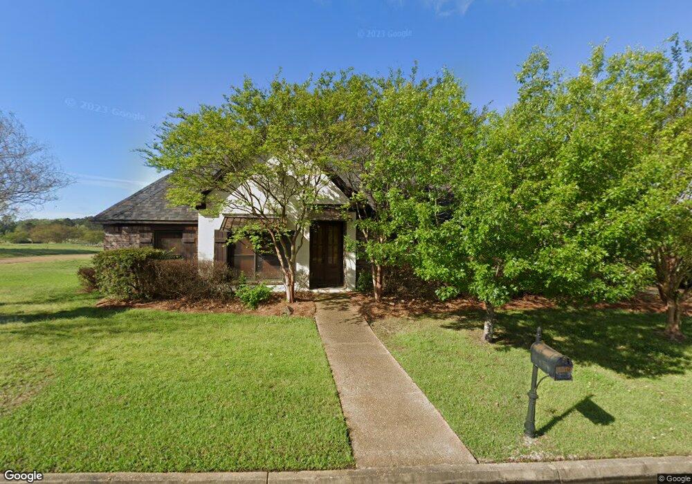
101 Southampton Cir Madison, MS 39110
Estimated Value: $405,056 - $453,000
4
Beds
3
Baths
2,500
Sq Ft
$168/Sq Ft
Est. Value
About This Home
This home is located at 101 Southampton Cir, Madison, MS 39110 and is currently estimated at $418,764, approximately $167 per square foot. 101 Southampton Cir is a home located in Madison County with nearby schools including Mannsdale Elementary School, Germantown Middle School, and Germantown High School.
Ownership History
Date
Name
Owned For
Owner Type
Purchase Details
Closed on
Sep 15, 2010
Sold by
Fortner Frank O
Bought by
Clark David L
Current Estimated Value
Home Financials for this Owner
Home Financials are based on the most recent Mortgage that was taken out on this home.
Original Mortgage
$285,000
Outstanding Balance
$95,391
Interest Rate
4.52%
Mortgage Type
Purchase Money Mortgage
Estimated Equity
$323,373
Create a Home Valuation Report for This Property
The Home Valuation Report is an in-depth analysis detailing your home's value as well as a comparison with similar homes in the area
Home Values in the Area
Average Home Value in this Area
Purchase History
| Date | Buyer | Sale Price | Title Company |
|---|---|---|---|
| Clark David L | -- | None Available | |
| Clark David L | -- | None Available | |
| Fortner Frank O | -- | None Available |
Source: Public Records
Mortgage History
| Date | Status | Borrower | Loan Amount |
|---|---|---|---|
| Open | Clark David L | $285,000 |
Source: Public Records
Tax History Compared to Growth
Tax History
| Year | Tax Paid | Tax Assessment Tax Assessment Total Assessment is a certain percentage of the fair market value that is determined by local assessors to be the total taxable value of land and additions on the property. | Land | Improvement |
|---|---|---|---|---|
| 2025 | $2,378 | $26,078 | $0 | $0 |
| 2024 | $2,378 | $26,078 | $0 | $0 |
| 2023 | $2,378 | $26,078 | $0 | $0 |
| 2022 | $2,378 | $26,078 | $0 | $0 |
| 2021 | $2,222 | $25,050 | $0 | $0 |
| 2020 | $2,221 | $25,040 | $0 | $0 |
| 2019 | $2,221 | $25,040 | $0 | $0 |
| 2018 | $2,221 | $25,040 | $0 | $0 |
| 2017 | $2,180 | $24,629 | $0 | $0 |
| 2016 | $2,180 | $24,629 | $0 | $0 |
| 2015 | $2,081 | $24,629 | $0 | $0 |
| 2014 | $2,081 | $24,629 | $0 | $0 |
Source: Public Records
Map
Nearby Homes
- 284 Caroline Blvd
- 132 Southampton Cir
- 104 Azalea Cove
- 117 Links Cove
- 0 Caroline Pointe Lot 1408 Blvd
- 0 Caroline Pointe Lot 1410 Blvd
- 0 Caroline Pointe Lot 1405 Blvd
- 107 Belle Pointe
- 0 Caroline Pointe Lot 1412 Blvd
- 0 Caroline Pointe Lot 1416 Blvd
- 102 S Glen Dr
- 156 Cotton Wood Dr
- 0 Camden Ct Unit 4080616
- 157 Cotton Wood Dr
- 103 Maple Grove
- 154 Belle Pointe
- 110 Buckeye Dr
- 108 Timber Dr
- 103 Elm Ct
- 159 Beaufort Cir
- 102 Southampton Cir
- 104 Southampton Cir
- 106 Southampton Cir
- 263 Caroline Blvd
- 105 Southampton Cir
- 108 Southampton Cir
- 259 Caroline Blvd
- 278 Caroline Blvd
- 107 Southampton Cir
- 276 Caroline Blvd
- 112 Southampton Cir
- 280 Caroline Blvd
- 116 Southampton Cir
- 255 Caroline Blvd
- 109 Southampton Cir
- 118 Southampton Cir
- 288 Caroline Blvd
- 113 Southampton Cir
- 126 Southampton Cir
- 115 Southampton Cir