101 W Homestead Ct Shelton, WA 98584
Estimated Value: $347,000 - $460,000
3
Beds
2
Baths
1,704
Sq Ft
$244/Sq Ft
Est. Value
About This Home
This home is located at 101 W Homestead Ct, Shelton, WA 98584 and is currently estimated at $415,162, approximately $243 per square foot. 101 W Homestead Ct is a home located in Mason County with nearby schools including Bordeaux Elementary School, Olympic Middle School, and Oakland Bay Junior High School.
Ownership History
Date
Name
Owned For
Owner Type
Purchase Details
Closed on
May 11, 2006
Sold by
Smith Carrie A
Bought by
Owens Darrell and Owens Julie
Current Estimated Value
Home Financials for this Owner
Home Financials are based on the most recent Mortgage that was taken out on this home.
Original Mortgage
$74,000
Interest Rate
6.41%
Mortgage Type
Unknown
Create a Home Valuation Report for This Property
The Home Valuation Report is an in-depth analysis detailing your home's value as well as a comparison with similar homes in the area
Home Values in the Area
Average Home Value in this Area
Purchase History
| Date | Buyer | Sale Price | Title Company |
|---|---|---|---|
| Owens Darrell | $111,000 | First American Title |
Source: Public Records
Mortgage History
| Date | Status | Borrower | Loan Amount |
|---|---|---|---|
| Closed | Owens Darrell | $74,000 | |
| Open | Owens Darrell | $111,000 |
Source: Public Records
Tax History Compared to Growth
Tax History
| Year | Tax Paid | Tax Assessment Tax Assessment Total Assessment is a certain percentage of the fair market value that is determined by local assessors to be the total taxable value of land and additions on the property. | Land | Improvement |
|---|---|---|---|---|
| 2025 | $2,984 | $316,690 | $70,665 | $246,025 |
| 2023 | $2,984 | $327,230 | $35,670 | $291,560 |
| 2022 | $3,608 | $304,030 | $31,020 | $273,010 |
| 2021 | $3,230 | $304,030 | $31,020 | $273,010 |
| 2020 | $3,023 | $250,005 | $31,020 | $218,985 |
| 2018 | $3,383 | $210,880 | $44,100 | $166,780 |
| 2017 | $2,578 | $210,880 | $44,100 | $166,780 |
| 2016 | $2,478 | $185,235 | $40,600 | $144,635 |
| 2015 | $2,709 | $179,825 | $38,500 | $141,325 |
| 2014 | -- | $193,590 | $43,750 | $149,840 |
| 2013 | -- | $180,075 | $36,750 | $143,325 |
Source: Public Records
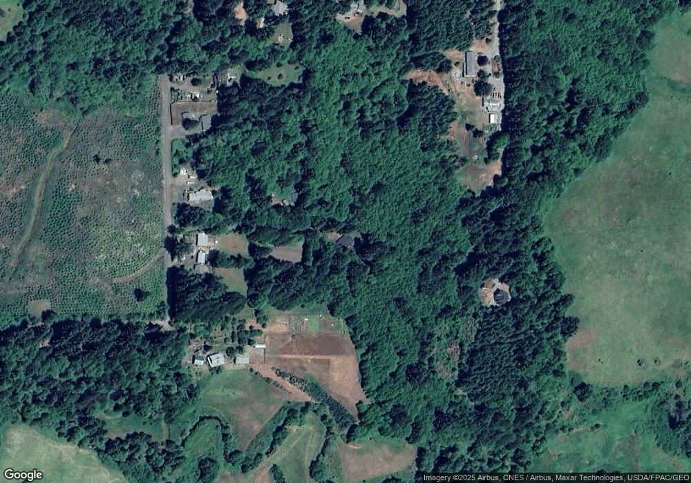
Map
Nearby Homes
- 890 W Wynwood Dr
- 141 W Delight Park Rd
- 1 XXX W Shelton Matlock Rd
- 180 W Manor Rd
- 21 SE Neiland Ct W
- 321 Berry Ridge Rd
- 0 Xxx Unit NWM2420430
- 2230 Beverly Blvd
- 150 W Freedom Ln
- 1783 W Shelton Matlock Rd
- 2005 Lake Blvd
- 21 W Freedom Ln
- 716 Meridian Ave
- 601 Firwood Ct
- 111 E Wilson St
- 725 W Wyandotte Ave
- 1928 Stevens St
- 2238 W Railroad Ave
- 308 E Roosevelt St
- 1927 Ferry St
- 191 W Loertscher Rd
- 141 W Loertscher Rd
- 4321 W Cloquallum Rd
- 251 W Loertscher Rd
- 121 W Loertscher Rd
- 101 W Loertscher Rd
- 4431 W Cloquallum Rd
- 4371 W Cloquallum Rd
- 4501 W Cloquallum Rd
- 4360 W Cloquallum Rd
- 0 W Loertscher Rd
- 4390 W Cloquallum Rd
- 9999 W Shelton Valley Rd
- 4362 W Cloquallum Rd
- 4400 W Cloquallum Rd
- 242 W Loertscher Rd
- 4300 W Cloquallum Rd
- 3861 W Shelton Valley Rd
- 173 W Winter Creek Rd
- 4342 W Cloquallum Rd