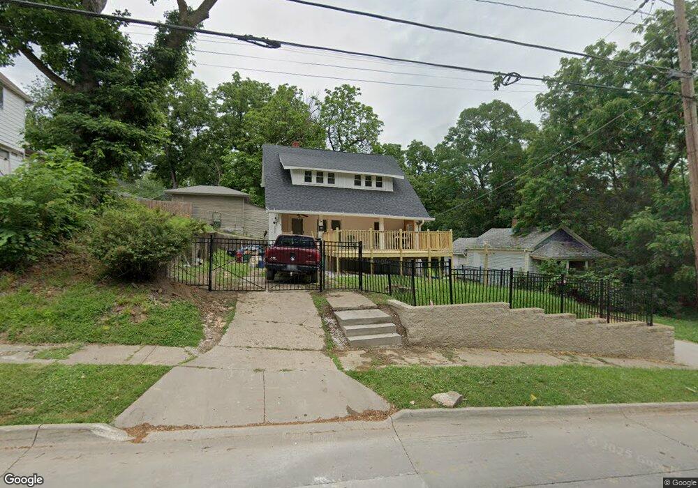
1010 E 10th St Davenport, IA 52803
East End NeighborhoodEstimated Value: $77,000 - $132,000
3
Beds
1
Bath
1,168
Sq Ft
$88/Sq Ft
Est. Value
About This Home
This home is located at 1010 E 10th St, Davenport, IA 52803 and is currently estimated at $102,941, approximately $88 per square foot. 1010 E 10th St is a home located in Scott County with nearby schools including Walnut Hill Elementary School, McKinley Elementary School, and Casey County Middle School.
Ownership History
Date
Name
Owned For
Owner Type
Purchase Details
Closed on
Mar 9, 2018
Sold by
Moreland Kenneth C
Bought by
Ramos Sonya and Martinez Juan
Current Estimated Value
Purchase Details
Closed on
Dec 17, 2007
Sold by
Lasalle Bank Na
Bought by
Moreland Kenneth C
Purchase Details
Closed on
Aug 22, 2007
Sold by
Kinnaird Jefferson L
Bought by
Lasalle Bank Na
Create a Home Valuation Report for This Property
The Home Valuation Report is an in-depth analysis detailing your home's value as well as a comparison with similar homes in the area
Home Values in the Area
Average Home Value in this Area
Purchase History
| Date | Buyer | Sale Price | Title Company |
|---|---|---|---|
| Ramos Sonya | -- | -- | |
| Moreland Kenneth C | $20,000 | Title Services Corporation | |
| Lasalle Bank Na | $44,148 | None Available |
Source: Public Records
Tax History Compared to Growth
Tax History
| Year | Tax Paid | Tax Assessment Tax Assessment Total Assessment is a certain percentage of the fair market value that is determined by local assessors to be the total taxable value of land and additions on the property. | Land | Improvement |
|---|---|---|---|---|
| 2025 | $900 | $75,520 | $10,590 | $64,930 |
| 2024 | $874 | $60,540 | $10,590 | $49,950 |
| 2023 | $844 | $60,540 | $10,590 | $49,950 |
| 2022 | $734 | $48,370 | $4,840 | $43,530 |
| 2021 | $734 | $43,180 | $4,840 | $38,340 |
| 2020 | $820 | $37,700 | $4,840 | $32,860 |
| 2019 | $846 | $37,700 | $4,840 | $32,860 |
| 2018 | $828 | $37,700 | $4,840 | $32,860 |
| 2017 | $210 | $37,700 | $4,840 | $32,860 |
| 2016 | $826 | $37,700 | $0 | $0 |
| 2015 | $826 | $37,700 | $0 | $0 |
| 2014 | $838 | $37,700 | $0 | $0 |
| 2013 | $822 | $0 | $0 | $0 |
| 2012 | -- | $36,490 | $3,860 | $32,630 |
Source: Public Records
Map
Nearby Homes
- 1134 Tremont Ave
- 1012 Bridge Ave
- 1108 Arlington Ave
- 1004 College Ave
- 1224 E 11th St
- 1102 College Ave
- 1220 College Ave
- 1215 Farnam St
- 914 Farnam St
- 1020 E 15th St
- 1501 Bridge Ave
- 616 E 6th St
- 637 E 15th St
- 1310 Kirkwood Blvd
- 1202 Adams St
- 1603 Arlington Ave
- 916 Kirkwood Blvd
- 1605 Arlington Ave
- 1325 Mississippi Ave
- 603 Leclaire St
- 1005 Tremont Ave
- 1001 Tremont Ave
- 1018 E 10th St
- 1013 Tremont Ave
- 1023 Tremont Ave
- 1006 Oneida Ave Unit 12
- 1006 Oneida Ave
- 922 E 10th St
- 1004 Oneida Ave
- 1004 Oneida Ave Unit 2
- 1004 Oneida Ave
- 1014 Oneida Ave
- 1014 Oneida Ave Unit 20
- 1105 Tremont Ave
- 918 E 10th St
- 1024 Tremont Ave
- 1030 Tremont Ave
- 1104 E 10th St
- 1109 Tremont Ave
- 1105 E 10th St