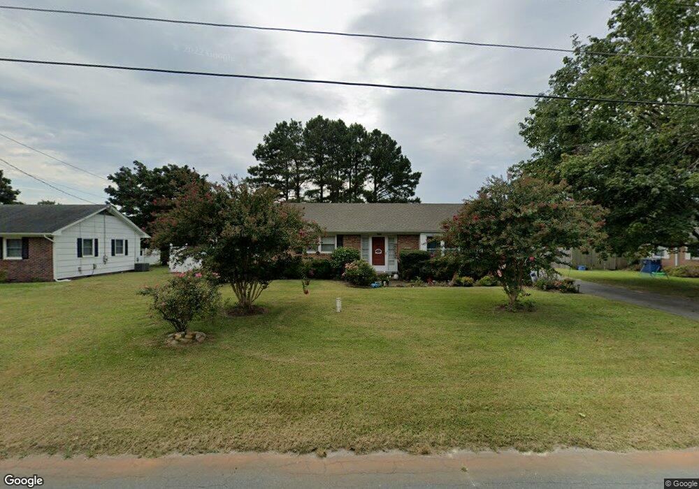
1010 Sherwood Cir Salisbury, MD 21804
North Salisbury NeighborhoodEstimated Value: $274,000 - $344,000
3
Beds
2
Baths
2,017
Sq Ft
$153/Sq Ft
Est. Value
About This Home
This home is located at 1010 Sherwood Cir, Salisbury, MD 21804 and is currently estimated at $307,777, approximately $152 per square foot. 1010 Sherwood Cir is a home located in Wicomico County with nearby schools including Beaver Run Elementary School, East Salisbury Elementary School, and Wicomico Middle School.
Ownership History
Date
Name
Owned For
Owner Type
Purchase Details
Closed on
Aug 17, 2018
Sold by
Brannock Thomas L and Brannock Debra L
Bought by
Brannock Thomas L and Brannock Debra L
Current Estimated Value
Purchase Details
Closed on
May 25, 2012
Sold by
Snader Vivian F and Rowe Nancy S
Bought by
Brannock Thomas L and Brannock Debra L
Home Financials for this Owner
Home Financials are based on the most recent Mortgage that was taken out on this home.
Original Mortgage
$105,000
Outstanding Balance
$72,749
Interest Rate
3.9%
Mortgage Type
New Conventional
Estimated Equity
$235,028
Purchase Details
Closed on
Apr 1, 2004
Sold by
Snader George E
Bought by
Snader George E and Snader Vivian F
Purchase Details
Closed on
Jun 21, 1996
Sold by
Williams James C and Williams Nora S
Bought by
Snader George E and Snader Vivian F
Create a Home Valuation Report for This Property
The Home Valuation Report is an in-depth analysis detailing your home's value as well as a comparison with similar homes in the area
Home Values in the Area
Average Home Value in this Area
Purchase History
| Date | Buyer | Sale Price | Title Company |
|---|---|---|---|
| Brannock Thomas L | -- | Mid Atlantic Title & Escrow | |
| Brannock Thomas L | $140,000 | Coastal Title & Escrow | |
| Snader George E | -- | -- | |
| Snader George E | $100,000 | -- |
Source: Public Records
Mortgage History
| Date | Status | Borrower | Loan Amount |
|---|---|---|---|
| Open | Brannock Thomas L | $105,000 |
Source: Public Records
Tax History Compared to Growth
Tax History
| Year | Tax Paid | Tax Assessment Tax Assessment Total Assessment is a certain percentage of the fair market value that is determined by local assessors to be the total taxable value of land and additions on the property. | Land | Improvement |
|---|---|---|---|---|
| 2025 | $1,680 | $182,000 | $27,700 | $154,300 |
| 2024 | $1,680 | $168,967 | $0 | $0 |
| 2023 | $1,602 | $155,933 | $0 | $0 |
| 2022 | $1,516 | $142,900 | $27,700 | $115,200 |
| 2021 | $1,487 | $139,567 | $0 | $0 |
| 2020 | $1,465 | $136,233 | $0 | $0 |
| 2019 | $1,451 | $132,900 | $27,700 | $105,200 |
| 2018 | $1,458 | $132,900 | $27,700 | $105,200 |
| 2017 | $1,458 | $132,900 | $0 | $0 |
| 2016 | -- | $135,600 | $0 | $0 |
| 2015 | $1,502 | $135,600 | $0 | $0 |
| 2014 | $1,502 | $135,600 | $0 | $0 |
Source: Public Records
Map
Nearby Homes
- 1002 Sherwood Cir
- 6957 Amber Fields Ct
- 707 W Morris Leonard Rd
- 504 Parker Rd Unit 1
- 803 Lyndhurst Ln
- 506 Barnsdale Dr
- 911 Outten Rd
- 218 Potomac Ave
- 215 Potomac Ave
- 529 Birchwood Dr
- 403 Woodcrest Ave
- 421 Stream Valley Ct
- 30575 Zion Rd
- 30446 Zion Rd
- 30483 Bennett Rd
- 2712 Merritt Mill Rd
- 30536 Bennett Rd
- 31011 Old Ocean City Rd
- 112 Roseberry Ave
- 117 Justice Ave
- 1012 Sherwood Cir
- 1008 Sherwood Cir
- 1009 Sherwood Cir
- 1013 Sherwood Cir
- 7005 Amber Fields Ct
- 1006 Sherwood Cir
- 1007 Sherwood Cir
- 1014 Sherwood Cir
- 1015 Sherwood Cir
- 1005 Sherwood Cir
- 7002 Amber Fields Ct
- 1004 Sherwood Cir
- 7001 Amber Fields Ct
- 602 Nottingham Dr
- 1016 Sherwood Cir
- 605 Bowman Dr
- 1017 Sherwood Cir
- 605 Nottingham Dr
- 7009 Ashworth Ct
- 604 Nottingham Dr