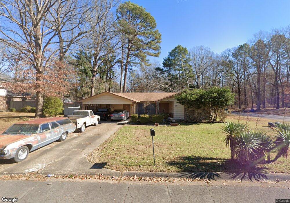
10103 Independence Ln Little Rock, AR 72209
Upper Baseline NeighborhoodEstimated Value: $115,922 - $162,000
--
Bed
2
Baths
1,646
Sq Ft
$89/Sq Ft
Est. Value
About This Home
This home is located at 10103 Independence Ln, Little Rock, AR 72209 and is currently estimated at $146,481, approximately $88 per square foot. 10103 Independence Ln is a home located in Pulaski County with nearby schools including Watson Elementary School, Cloverdale Middle School, and Little Rock Southwest High School.
Ownership History
Date
Name
Owned For
Owner Type
Purchase Details
Closed on
Oct 30, 1997
Sold by
Bour John Stephen and Bour Theresa Roseann Jones
Bought by
Coleman Bobbie D
Current Estimated Value
Home Financials for this Owner
Home Financials are based on the most recent Mortgage that was taken out on this home.
Original Mortgage
$53,100
Outstanding Balance
$8,404
Interest Rate
7.28%
Mortgage Type
FHA
Estimated Equity
$138,077
Create a Home Valuation Report for This Property
The Home Valuation Report is an in-depth analysis detailing your home's value as well as a comparison with similar homes in the area
Home Values in the Area
Average Home Value in this Area
Purchase History
| Date | Buyer | Sale Price | Title Company |
|---|---|---|---|
| Coleman Bobbie D | -- | Lenders Title Company |
Source: Public Records
Mortgage History
| Date | Status | Borrower | Loan Amount |
|---|---|---|---|
| Open | Coleman Bobbie D | $53,100 |
Source: Public Records
Tax History Compared to Growth
Tax History
| Year | Tax Paid | Tax Assessment Tax Assessment Total Assessment is a certain percentage of the fair market value that is determined by local assessors to be the total taxable value of land and additions on the property. | Land | Improvement |
|---|---|---|---|---|
| 2025 | $932 | $22,461 | $3,000 | $19,461 |
| 2024 | $932 | $22,461 | $3,000 | $19,461 |
| 2023 | $932 | $22,461 | $3,000 | $19,461 |
| 2022 | $932 | $22,461 | $3,000 | $19,461 |
| 2021 | $938 | $15,560 | $4,300 | $11,260 |
| 2020 | $557 | $15,560 | $4,300 | $11,260 |
| 2019 | $557 | $15,560 | $4,300 | $11,260 |
| 2018 | $582 | $15,560 | $4,300 | $11,260 |
| 2017 | $582 | $15,560 | $4,300 | $11,260 |
| 2016 | $582 | $16,220 | $3,000 | $13,220 |
| 2015 | $933 | $13,311 | $3,000 | $10,311 |
| 2014 | $933 | $16,220 | $3,000 | $13,220 |
Source: Public Records
Map
Nearby Homes
- 5817 Drexel Ave
- 5823 Liberty Cove
- 10407 Republic Ln
- 22 Old Glory Ct
- 00 Lovett Dr
- 5300 Southboro Ct
- 000 Geyer Springs Rd
- 6711 Woodfield Rd
- 6313 Senate Dr
- 10001 Warren Dr
- 6611 Fairfield Dr
- 9220 Reck Rd
- 8616 Dreher Ln
- 8600 Dreher Ln
- 3938 Wooddale Dr
- 8511 Dreher Ln
- 5709 Chaucer Ln
- 5505 Chaucer Ln
- 8406 Dreher Ln
- 9901 Eva Ln
- 5400 Drexel Ave
- 10023 Independence Ln
- 10104 Independence Ln
- 10019 Independence Ln
- 10117 Independence Ln
- 10024 Independence Ln
- 5424 Drexel Ave
- 10018 Independence Ln
- 10015 Independence Ln
- 5421 Drexel Ave
- 10123 Independence Ln
- 10012 Independence Ln
- 10009 Independence Ln
- 10124 Independence Ln
- 10023 Republic Ln
- 10101 Republic Ln
- 10123 Republic Ln
- 10205 Independence Ln
- 10019 Republic Ln
- 10008 Independence Ln