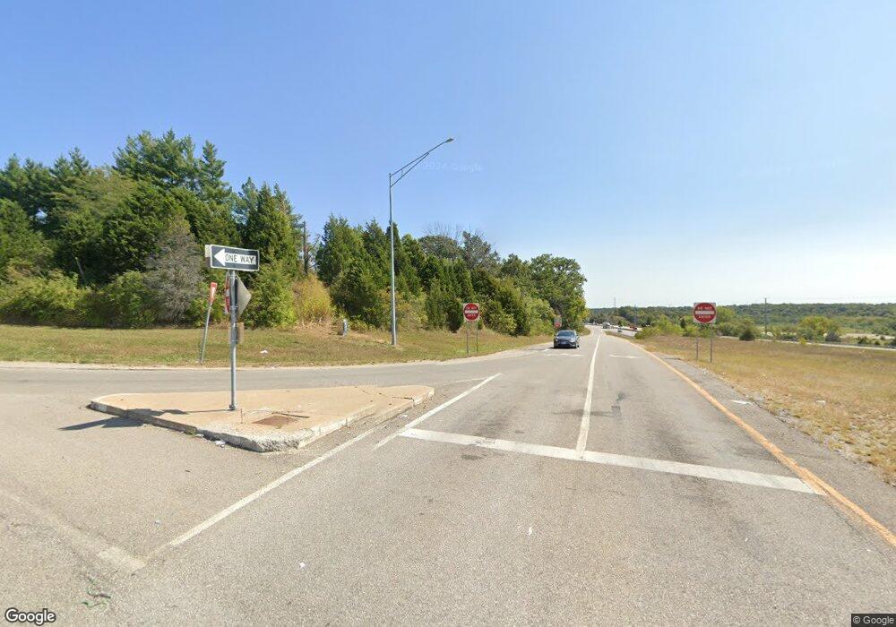
10106 Raytown Rd Kansas City, MO 64134
Highview Estates NeighborhoodEstimated Value: $230,000 - $360,425
3
Beds
2
Baths
1,856
Sq Ft
$158/Sq Ft
Est. Value
About This Home
This home is located at 10106 Raytown Rd, Kansas City, MO 64134 and is currently estimated at $293,606, approximately $158 per square foot. 10106 Raytown Rd is a home located in Jackson County with nearby schools including Truman Elementary School, St Regis School, and Islamic School of Greater Kansas City.
Ownership History
Date
Name
Owned For
Owner Type
Purchase Details
Closed on
Apr 20, 2022
Sold by
Diane C Peniston Family Trust
Bought by
Rhoades William Christopher
Current Estimated Value
Purchase Details
Closed on
May 22, 2015
Sold by
Peniston Diane C Livingston
Bought by
Peniston Diane C and The Diane C Peniston Family Trust
Create a Home Valuation Report for This Property
The Home Valuation Report is an in-depth analysis detailing your home's value as well as a comparison with similar homes in the area
Home Values in the Area
Average Home Value in this Area
Purchase History
| Date | Buyer | Sale Price | Title Company |
|---|---|---|---|
| Rhoades William Christopher | -- | -- | |
| Not Given | -- | -- | |
| Peniston Diane C | -- | None Available | |
| Peniston Diane C | -- | None Available |
Source: Public Records
Tax History Compared to Growth
Tax History
| Year | Tax Paid | Tax Assessment Tax Assessment Total Assessment is a certain percentage of the fair market value that is determined by local assessors to be the total taxable value of land and additions on the property. | Land | Improvement |
|---|---|---|---|---|
| 2025 | $4,455 | $42,214 | $11,191 | $31,023 |
| 2024 | $4,375 | $51,467 | $12,722 | $38,745 |
| 2023 | $4,375 | $51,467 | $6,610 | $44,857 |
| 2022 | $3,161 | $31,920 | $6,840 | $25,080 |
| 2021 | $2,726 | $31,920 | $6,840 | $25,080 |
| 2020 | $2,536 | $28,062 | $6,840 | $21,222 |
| 2019 | $2,398 | $28,062 | $6,840 | $21,222 |
| 2018 | $2,235 | $24,423 | $5,953 | $18,470 |
| 2017 | $2,235 | $24,423 | $5,953 | $18,470 |
| 2016 | $2,244 | $23,811 | $5,333 | $18,478 |
| 2014 | $2,219 | $23,811 | $5,333 | $18,478 |
Source: Public Records
Map
Nearby Homes
- 9721 Elm Ave
- 9319 E 105th St
- 10907 E 98th Terrace
- 10321 E 95th Terrace
- 9525 Manning Ave
- 10500 E Bannister Rd
- 9420 Ralston Ave
- 8641 E 97th Terrace
- 0 View High Dr Unit HMS2548973
- 10501 Wallace Ave
- 10401 View High Dr
- 9624 Ditman Way
- 9609 Ditman Way
- 8700 E Bannister Terrace
- 9414 Lewis Ave
- 8304 E 106th St
- 10408 Skiles Ave
- 9714 Donnelly Ave
- 10130 Tullis Ave
- 8124 E 100 Terrace
- 10100 Raytown Rd
- 10071 Raytown Rd
- 10101 Raytown Rd
- 10017 Raytown Rd
- 9912 Raytown Rd
- 9401 E 103rd St
- 9305 E 103rd St
- 9300 E 103 St
- 9901 Raytown Rd
- 10300 Oxford Ave
- 10308 Oxford Ave
- 10416 Raytown Rd
- 10417 Raytown Rd
- 10325 Oxford Ave
- 10316 Oxford Ave
- 10501 Raytown Rd
- 9320 E 105th St
- 10320 Oxford Ave
- 9316 E 105th St
- 9318 E 105th St
