1013 Loveland Cir Montrose, MN 55363
Estimated Value: $299,000 - $321,000
2
Beds
1
Bath
996
Sq Ft
$306/Sq Ft
Est. Value
About This Home
This home is located at 1013 Loveland Cir, Montrose, MN 55363 and is currently estimated at $304,844, approximately $306 per square foot. 1013 Loveland Cir is a home located in Wright County with nearby schools including Montrose Elementary School, Buffalo Community Middle School, and Buffalo Senior High School.
Ownership History
Date
Name
Owned For
Owner Type
Purchase Details
Closed on
Feb 5, 2016
Sold by
Leaf Timothy P and Leaf Olinka
Bought by
Giese Ryan
Current Estimated Value
Purchase Details
Closed on
May 22, 2009
Sold by
Ramos Martha Elena Alarcon
Bought by
Leaf Timothy and Not Provided
Purchase Details
Closed on
Dec 21, 2005
Sold by
Richard J Elsen Construction
Bought by
Cruz Perez Jose and Alarcon Ramos Martha
Purchase Details
Closed on
Sep 9, 2005
Sold by
Bridgeland Development Co
Bought by
Richard J Elsen Construction Inc
Create a Home Valuation Report for This Property
The Home Valuation Report is an in-depth analysis detailing your home's value as well as a comparison with similar homes in the area
Home Values in the Area
Average Home Value in this Area
Purchase History
| Date | Buyer | Sale Price | Title Company |
|---|---|---|---|
| Giese Ryan | $141,000 | Watermark Title Agency | |
| Leaf Timothy | -- | -- | |
| Cruz Perez Jose | $178,000 | -- | |
| Richard J Elsen Construction Inc | $40,000 | -- |
Source: Public Records
Tax History Compared to Growth
Tax History
| Year | Tax Paid | Tax Assessment Tax Assessment Total Assessment is a certain percentage of the fair market value that is determined by local assessors to be the total taxable value of land and additions on the property. | Land | Improvement |
|---|---|---|---|---|
| 2025 | $3,208 | $278,900 | $78,000 | $200,900 |
| 2024 | $3,082 | $265,100 | $70,000 | $195,100 |
| 2023 | $3,102 | $276,900 | $77,000 | $199,900 |
| 2022 | $2,850 | $257,000 | $69,000 | $188,000 |
| 2021 | $2,742 | $205,900 | $35,000 | $170,900 |
| 2020 | $2,602 | $194,500 | $30,000 | $164,500 |
| 2019 | $2,026 | $182,200 | $0 | $0 |
| 2018 | $1,804 | $127,900 | $0 | $0 |
| 2017 | $1,650 | $113,900 | $0 | $0 |
| 2016 | $1,558 | $0 | $0 | $0 |
| 2015 | $1,510 | $0 | $0 | $0 |
| 2014 | -- | $0 | $0 | $0 |
Source: Public Records
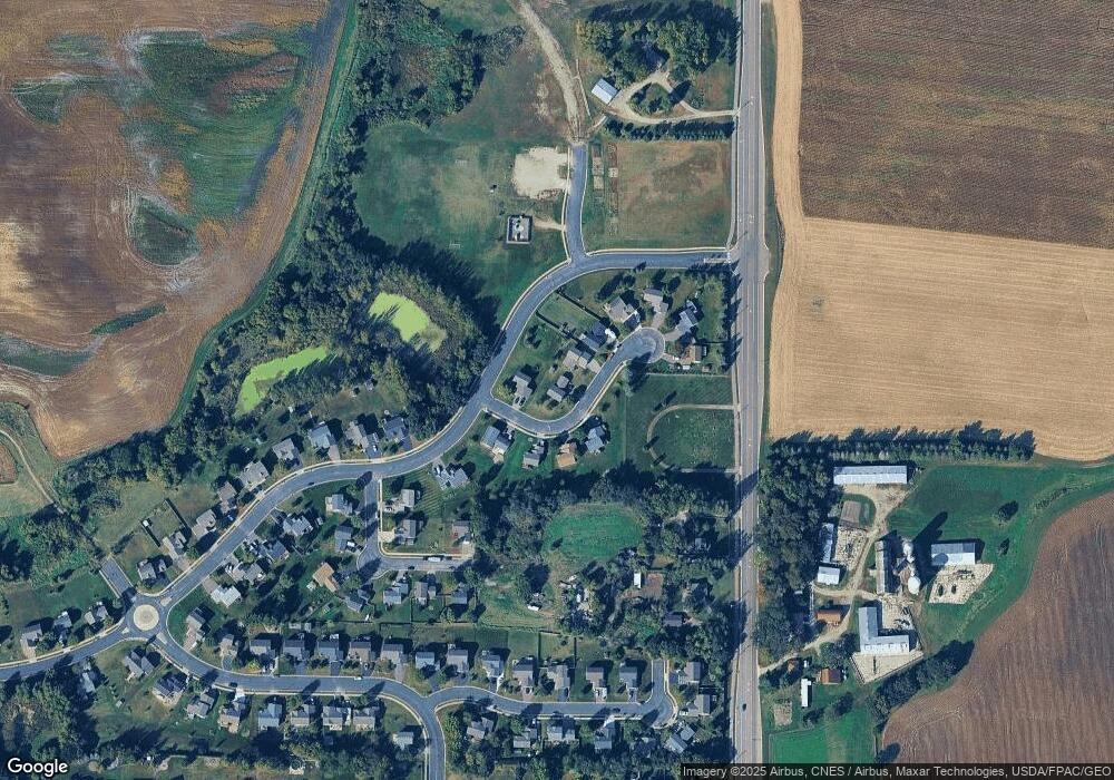
Map
Nearby Homes
- 935 Aspen Ln
- 703 7th St N
- 726 7th St N
- 643 Fieldcrest Ave N
- 645 Fieldcrest Ave N
- Cameron Plan at Northridge
- Granite Plan at Northridge
- Perkins Plan at Northridge
- Harris Plan at Northridge
- 692 Aspen Ln
- 690 Aspen Ln
- 699 Aspen Ln
- 697 Aspen Ln
- 695 Aspen Ln
- 1112 Natalie Ave
- 693 Aspen Ln
- 684 Aspen Ln
- 691 Aspen Ln
- 689 Aspen Ln
- 687 Aspen Ln
- 1015 Loveland Cir
- 1011 Loveland Cir
- 1010 Loveland Cir
- 1009 Loveland Cir
- 1016 Loveland Cir
- 1012 Loveland Cir
- 1014 Loveland Cir
- 1014 1014 Loveland-Circle-
- 1007 Loveland Cir
- 1018 Aspen Ln
- 1001 Loveland Cir
- 1005 Loveland Cir
- 915 Steamboat Ln
- 1003 Loveland Cir
- 921 Aspen Ln
- 919 Steamboat Ln
- 917 Steamboat Ln
- 923 Aspen Ln
- 4893 County Road 12 S
- 9XX Steamboat Ln