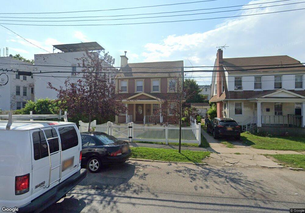
10134 222nd St Queens Village, NY 11429
Queens Village NeighborhoodEstimated Value: $683,283 - $814,000
--
Bed
--
Bath
1,200
Sq Ft
$615/Sq Ft
Est. Value
About This Home
This home is located at 10134 222nd St, Queens Village, NY 11429 and is currently estimated at $737,821, approximately $614 per square foot. 10134 222nd St is a home located in Queens County with nearby schools including P.S. 34 John Harvard, Jean Nuzzi Intermediate School, and Ss Joachim & Anne School.
Ownership History
Date
Name
Owned For
Owner Type
Purchase Details
Closed on
Mar 22, 2012
Sold by
Expert Developers Inc
Bought by
Rose Lauren
Current Estimated Value
Home Financials for this Owner
Home Financials are based on the most recent Mortgage that was taken out on this home.
Original Mortgage
$373,700
Outstanding Balance
$257,683
Interest Rate
3.95%
Mortgage Type
New Conventional
Estimated Equity
$480,138
Purchase Details
Closed on
Aug 10, 2011
Sold by
Alexandre Administrator Prague
Bought by
Expert Developers Inc
Create a Home Valuation Report for This Property
The Home Valuation Report is an in-depth analysis detailing your home's value as well as a comparison with similar homes in the area
Home Values in the Area
Average Home Value in this Area
Purchase History
| Date | Buyer | Sale Price | Title Company |
|---|---|---|---|
| Rose Lauren | $385,000 | -- | |
| Expert Developers Inc | $125,000 | -- |
Source: Public Records
Mortgage History
| Date | Status | Borrower | Loan Amount |
|---|---|---|---|
| Open | Rose Lauren | $373,700 |
Source: Public Records
Tax History Compared to Growth
Tax History
| Year | Tax Paid | Tax Assessment Tax Assessment Total Assessment is a certain percentage of the fair market value that is determined by local assessors to be the total taxable value of land and additions on the property. | Land | Improvement |
|---|---|---|---|---|
| 2025 | $5,821 | $31,104 | $10,715 | $20,389 |
| 2024 | $5,833 | $30,384 | $11,575 | $18,809 |
| 2023 | $5,476 | $28,664 | $9,797 | $18,867 |
| 2022 | $5,112 | $36,480 | $12,960 | $23,520 |
| 2021 | $5,159 | $35,040 | $12,960 | $22,080 |
| 2020 | $5,191 | $33,660 | $12,960 | $20,700 |
| 2019 | $5,004 | $32,520 | $12,960 | $19,560 |
| 2018 | $4,572 | $23,887 | $11,168 | $12,719 |
| 2017 | $4,294 | $22,536 | $12,912 | $9,624 |
| 2016 | $4,008 | $22,536 | $12,912 | $9,624 |
| 2015 | $2,344 | $21,600 | $11,006 | $10,594 |
| 2014 | $2,344 | $21,100 | $12,885 | $8,215 |
Source: Public Records
Map
Nearby Homes
- 219-06 101st Ave
- 22211 100th Rd
- 105-03 221st St Unit 3
- 104-12 219th St
- 22126 106th Ave
- 105-01 225th St
- 102-20 218th Place
- 221-36 107th Ave
- 21919 107th Ave
- 107-09 221st St
- 219-19 107th Ave
- 218-25 101st Ave
- 218-34 104th Ave
- 218-27 99th Ave
- 225-09 107th Ave
- 10465 Springfield Blvd
- 97-16 222nd St
- 218-17 104th Ave
- 108-05 221st St
- 22016 108th Ave
- 10130 222nd St
- 101-30 222nd St
- 22109 Hempstead Ave
- 10126 222nd St
- 221-15 Hempstead Ave Unit 1A
- 221-15 Hempstead Ave
- 10126 222nd St
- 102-09 221st St
- 22115 Hempstead Ave
- 10209 221st St
- 102-15 221st St Unit 2nd Fl
- 102-15 221st St
- 10205 221st St
- 10215 221st St
- 10217 221st St
- 10217 221st St
- 10122 222nd St
- 10217 221st St
- 10123 221st St
- 10123 221st St