Estimated Value: $292,000 - $325,000
--
Bed
--
Bath
1,216
Sq Ft
$254/Sq Ft
Est. Value
About This Home
This home is located at 1014 Arndt Rd, Alvin, TX 77511 and is currently estimated at $308,500, approximately $253 per square foot. 1014 Arndt Rd is a home with nearby schools including Roy J. Wollam Elementary School, Santa Fe Junior High School, and Santa Fe High School.
Ownership History
Date
Name
Owned For
Owner Type
Purchase Details
Closed on
Jun 28, 2016
Sold by
Valencia Jose G and Valencia Kelly R
Bought by
Stewart Jeffrey Dale and Stewart Ashley Marie
Current Estimated Value
Home Financials for this Owner
Home Financials are based on the most recent Mortgage that was taken out on this home.
Original Mortgage
$315,000
Outstanding Balance
$251,465
Interest Rate
3.58%
Mortgage Type
New Conventional
Estimated Equity
$57,035
Create a Home Valuation Report for This Property
The Home Valuation Report is an in-depth analysis detailing your home's value as well as a comparison with similar homes in the area
Home Values in the Area
Average Home Value in this Area
Purchase History
| Date | Buyer | Sale Price | Title Company |
|---|---|---|---|
| Stewart Jeffrey Dale | -- | Stewart Title |
Source: Public Records
Mortgage History
| Date | Status | Borrower | Loan Amount |
|---|---|---|---|
| Open | Stewart Jeffrey Dale | $315,000 |
Source: Public Records
Tax History Compared to Growth
Tax History
| Year | Tax Paid | Tax Assessment Tax Assessment Total Assessment is a certain percentage of the fair market value that is determined by local assessors to be the total taxable value of land and additions on the property. | Land | Improvement |
|---|---|---|---|---|
| 2025 | $349 | $70,197 | -- | -- |
| 2024 | $349 | $63,815 | -- | -- |
| 2023 | $349 | $58,014 | $0 | $0 |
| 2022 | $1,155 | $59,860 | $10,470 | $49,390 |
| 2021 | $1,246 | $59,860 | $10,470 | $49,390 |
| 2020 | $1,381 | $64,570 | $10,470 | $54,100 |
| 2019 | $1,795 | $91,320 | $10,470 | $80,850 |
| 2018 | $1,665 | $73,680 | $10,470 | $63,210 |
| 2017 | $1,667 | $73,680 | $10,470 | $63,210 |
| 2016 | $1,345 | $62,510 | $10,470 | $52,040 |
| 2015 | $392 | $54,030 | $10,470 | $43,560 |
| 2014 | $376 | $46,780 | $10,470 | $36,310 |
Source: Public Records
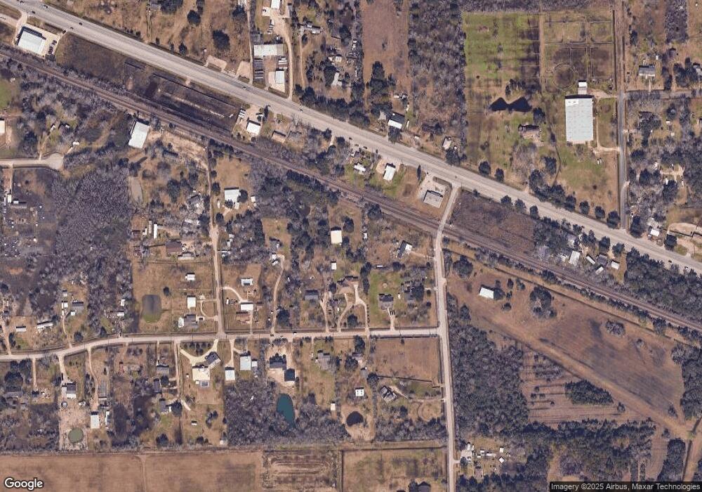
Map
Nearby Homes
- 5353 County Road 154
- 000 County Road 154 Mustang
- 0 County Road 154 Mustang
- 29818 E Highway 6
- 3889 County Road 155
- 18810 Dunbar Cir
- 17503 Algoa Rd
- 1500 Algoa Rd
- 18934 Murphy Rd
- 863 County Road 925b
- 18501 E Highway 6
- 4140 E Highway 6
- 1403 Algoa Friendswood Rd
- 1515 Algoa Friendswood Rd
- 4029 County Road 326
- 707 Lilley Rd
- 3240 County Road 155
- 2518 County Road 160
- 1543 Algoa Friendswood Rd
- 3610 E Highway 6
- 1014 County Road 695
- 5607 County Road 155
- 1008 Arndt Rd
- 5609 Top Hat Rd
- 19625 E Highway 6
- 1024 County Road 695
- 1024 County Road 695
- 19715 E Highway 6
- 1019 County Road 695
- 0 Hwy 6 and Top Hat Rd Unit 40305236
- 1026 County Road 695
- 5595 County Road 155
- 29878 Hwy 6
- 19739 E Highway 6
- 0 Highway 6 and Top Hat Rd Unit 93112345
- 5595 Top Hat Rd
- 1049 County Road 695
- 19624 E Highway 6
- 2087 County Road 695a
- 19618 E Highway 6