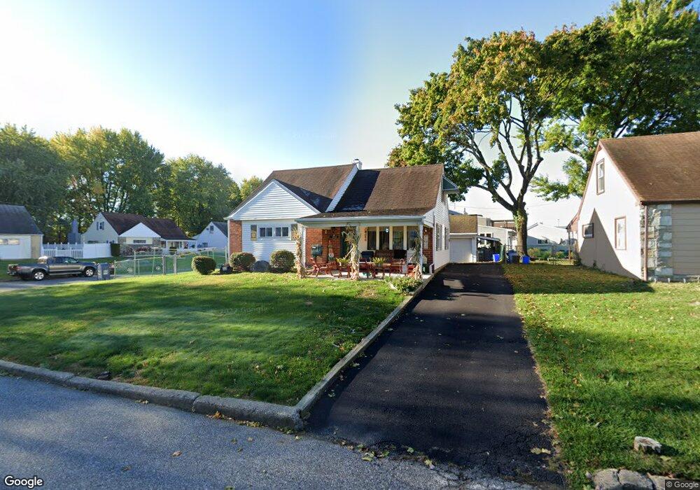
1014 Lorraine St Philadelphia, PA 19116
Somerton NeighborhoodEstimated Value: $346,573 - $466,000
--
Bed
--
Bath
1,912
Sq Ft
$223/Sq Ft
Est. Value
About This Home
This home is located at 1014 Lorraine St, Philadelphia, PA 19116 and is currently estimated at $426,643, approximately $223 per square foot. 1014 Lorraine St is a home located in Philadelphia County with nearby schools including Loesche William H School, CCA Baldi Middle School, and George Washington High School.
Ownership History
Date
Name
Owned For
Owner Type
Purchase Details
Closed on
Oct 6, 2005
Sold by
Phillips William D and Phillips Patricia E
Bought by
Fulton Robert and Fulton Patricia
Current Estimated Value
Purchase Details
Closed on
Jan 18, 2002
Sold by
Phillips William D
Bought by
Phillips William D and Phillips Patricia E
Home Financials for this Owner
Home Financials are based on the most recent Mortgage that was taken out on this home.
Original Mortgage
$153,000
Interest Rate
7.15%
Create a Home Valuation Report for This Property
The Home Valuation Report is an in-depth analysis detailing your home's value as well as a comparison with similar homes in the area
Home Values in the Area
Average Home Value in this Area
Purchase History
| Date | Buyer | Sale Price | Title Company |
|---|---|---|---|
| Fulton Robert | $240,000 | Lawyers Title Insurance Co | |
| Phillips William D | -- | -- |
Source: Public Records
Mortgage History
| Date | Status | Borrower | Loan Amount |
|---|---|---|---|
| Previous Owner | Phillips William D | $153,000 |
Source: Public Records
Tax History Compared to Growth
Tax History
| Year | Tax Paid | Tax Assessment Tax Assessment Total Assessment is a certain percentage of the fair market value that is determined by local assessors to be the total taxable value of land and additions on the property. | Land | Improvement |
|---|---|---|---|---|
| 2025 | $3,998 | $344,000 | $68,800 | $275,200 |
| 2024 | $3,998 | $344,000 | $68,800 | $275,200 |
| 2023 | $3,998 | $285,600 | $57,120 | $228,480 |
| 2022 | $2,731 | $240,600 | $57,120 | $183,480 |
| 2021 | $3,361 | $0 | $0 | $0 |
| 2020 | $3,361 | $0 | $0 | $0 |
| 2019 | $3,218 | $0 | $0 | $0 |
| 2018 | $3,026 | $0 | $0 | $0 |
| 2017 | $3,026 | $0 | $0 | $0 |
| 2016 | $2,581 | $0 | $0 | $0 |
| 2015 | $2,495 | $0 | $0 | $0 |
| 2014 | -- | $216,200 | $35,418 | $180,782 |
| 2012 | -- | $28,832 | $8,851 | $19,981 |
Source: Public Records
Map
Nearby Homes
- 11003 Stevens Rd
- 813 Piermont St
- 825 Delray St
- 831 Lawler St
- 818 Burgess St
- 859 Selmer Rd
- 1112 Selmer Rd
- 807 Larkspur St
- 770 Selmer Rd
- 1724 Nathaniel Dr
- 10236 Selmer Terrace
- 808 Densmore Rd
- 10752 Jeanes St
- 10236 Jeanes St
- 1104 Welton St
- 1829 Tomlinson Rd
- 509 Larkspur St
- 11022 Ferndale St
- 11012 Audubon Ave
- 11933 Stevens Rd
- 1012 Lorraine St
- 11010 Stevens Rd
- 1010 Lorraine St
- 11015 Stevens Rd
- 1011 Barlow St
- 11008 Stevens Rd
- 1019 Lorraine St
- 1017 Lorraine St
- 11011 Stevens Rd
- 11017 Stevens Rd
- 1015 Lorraine St
- 1008 Lorraine St
- 11009 Stevens Rd
- 11019 Stevens Rd
- 1013 Lorraine St
- 1014 Sanibel St
- 1012 Sanibel St
- 11007 Stevens Rd
- 11021 Stevens Rd
- 1010 Sanibel St