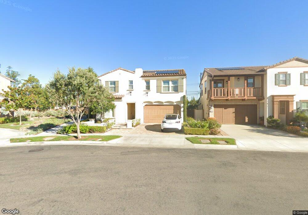
10141 Patch Dr Huntington Beach, CA 92646
Estimated Value: $1,750,667 - $2,028,000
4
Beds
3
Baths
2,670
Sq Ft
$724/Sq Ft
Est. Value
About This Home
This home is located at 10141 Patch Dr, Huntington Beach, CA 92646 and is currently estimated at $1,933,917, approximately $724 per square foot. 10141 Patch Dr is a home with nearby schools including Isojiro Oka Elementary, Talbert Middle School, and Edison High School.
Ownership History
Date
Name
Owned For
Owner Type
Purchase Details
Closed on
Nov 17, 2015
Sold by
Tri Pointe Homes Inc
Bought by
Pham Tom D and Tran Lisa
Current Estimated Value
Home Financials for this Owner
Home Financials are based on the most recent Mortgage that was taken out on this home.
Original Mortgage
$820,740
Outstanding Balance
$643,792
Interest Rate
3.71%
Mortgage Type
New Conventional
Estimated Equity
$1,290,125
Create a Home Valuation Report for This Property
The Home Valuation Report is an in-depth analysis detailing your home's value as well as a comparison with similar homes in the area
Home Values in the Area
Average Home Value in this Area
Purchase History
| Date | Buyer | Sale Price | Title Company |
|---|---|---|---|
| Pham Tom D | $1,026,000 | First American Title |
Source: Public Records
Mortgage History
| Date | Status | Borrower | Loan Amount |
|---|---|---|---|
| Open | Pham Tom D | $820,740 |
Source: Public Records
Tax History Compared to Growth
Tax History
| Year | Tax Paid | Tax Assessment Tax Assessment Total Assessment is a certain percentage of the fair market value that is determined by local assessors to be the total taxable value of land and additions on the property. | Land | Improvement |
|---|---|---|---|---|
| 2025 | $13,678 | $1,247,324 | $626,294 | $621,030 |
| 2024 | $13,678 | $1,222,867 | $614,014 | $608,853 |
| 2023 | $13,361 | $1,198,890 | $601,975 | $596,915 |
| 2022 | $13,171 | $1,175,383 | $590,172 | $585,211 |
| 2021 | $12,914 | $1,152,337 | $578,600 | $573,737 |
| 2020 | $12,839 | $1,140,522 | $572,667 | $567,855 |
| 2019 | $12,569 | $1,118,159 | $561,438 | $556,721 |
| 2018 | $12,325 | $1,096,235 | $550,430 | $545,805 |
| 2017 | $12,128 | $1,074,741 | $539,638 | $535,103 |
| 2016 | $11,300 | $1,025,926 | $529,057 | $496,869 |
Source: Public Records
Map
Nearby Homes
- 10151 Kukui Dr
- 19361 Brookhurst St Unit 159
- 19361 Brookhurst St Unit 87
- 19361 Brookhurst St Unit 50
- 19361 Brookhurst St Unit 143
- 19361 Brookhurst St Unit 21
- 19361 Brookhurst St Unit 22
- 19361 Brookhurst St Unit 184
- 19361 Brookhurst St Unit 33
- 19251 Brookhurst St Unit 13
- 19251 Brookhurst St Unit 48
- 19251 Brookhurst St Unit 11
- 19251 Brookhurst St Unit 22
- 19251 Brookhurst St Unit 38
- 19251 Brookhurst St Unit 137
- 19251 Brookhurst St Unit 69
- 19350 Ward St Unit 14
- 19350 Ward St Unit 38
- 19350 Ward St Unit 57
- 9850 Garfield Ave Unit 129
- 10151 Patch Dr
- 10161 Patch Dr
- 10152 Halawa Dr
- 10131 Patch Dr
- 10142 Halawa Dr
- 10172 Halawa Dr
- 10121 Patch Dr
- 10171 Patch Dr
- 10122 Halawa Dr
- 10152 Patch Dr
- 10122 Patch Dr
- 10142 Patch Dr
- 10181 Patch Dr
- 19342 Mauna Ln
- 19332 Mauna Ln
- 10132 Patch Dr
- 10192 Halawa Dr
- 19352 Mauna Ln
- 19372 Lamb Ln
- 19322 Mauna Ln