1015 Loveland Cir Montrose, MN 55363
Estimated Value: $294,000 - $325,000
2
Beds
1
Bath
904
Sq Ft
$336/Sq Ft
Est. Value
About This Home
This home is located at 1015 Loveland Cir, Montrose, MN 55363 and is currently estimated at $303,994, approximately $336 per square foot. 1015 Loveland Cir is a home located in Wright County with nearby schools including Montrose Elementary School, Buffalo Community Middle School, and Buffalo Senior High School.
Ownership History
Date
Name
Owned For
Owner Type
Purchase Details
Closed on
Apr 27, 2018
Sold by
Churack Robert J
Bought by
Moe Ross G and Moe Beth
Current Estimated Value
Home Financials for this Owner
Home Financials are based on the most recent Mortgage that was taken out on this home.
Original Mortgage
$186,969
Outstanding Balance
$161,172
Interest Rate
4.45%
Mortgage Type
New Conventional
Estimated Equity
$142,822
Purchase Details
Closed on
Sep 30, 2004
Sold by
R J Elsen Construction
Bought by
Churack Robert
Create a Home Valuation Report for This Property
The Home Valuation Report is an in-depth analysis detailing your home's value as well as a comparison with similar homes in the area
Home Values in the Area
Average Home Value in this Area
Purchase History
| Date | Buyer | Sale Price | Title Company |
|---|---|---|---|
| Moe Ross G | $185,100 | Kensington Title | |
| Churack Robert | $175,821 | -- |
Source: Public Records
Mortgage History
| Date | Status | Borrower | Loan Amount |
|---|---|---|---|
| Open | Moe Ross G | $186,969 |
Source: Public Records
Tax History Compared to Growth
Tax History
| Year | Tax Paid | Tax Assessment Tax Assessment Total Assessment is a certain percentage of the fair market value that is determined by local assessors to be the total taxable value of land and additions on the property. | Land | Improvement |
|---|---|---|---|---|
| 2025 | $3,124 | $275,400 | $78,000 | $197,400 |
| 2024 | $3,030 | $259,100 | $70,000 | $189,100 |
| 2023 | $2,966 | $272,800 | $77,000 | $195,800 |
| 2022 | $2,794 | $247,100 | $69,000 | $178,100 |
| 2021 | $2,690 | $202,200 | $35,000 | $167,200 |
| 2020 | $2,594 | $191,200 | $30,000 | $161,200 |
| 2019 | $2,390 | $181,800 | $0 | $0 |
| 2018 | $2,190 | $155,100 | $0 | $0 |
| 2017 | $2,006 | $143,300 | $0 | $0 |
| 2016 | $1,932 | $0 | $0 | $0 |
| 2015 | $1,558 | $0 | $0 | $0 |
| 2014 | -- | $0 | $0 | $0 |
Source: Public Records
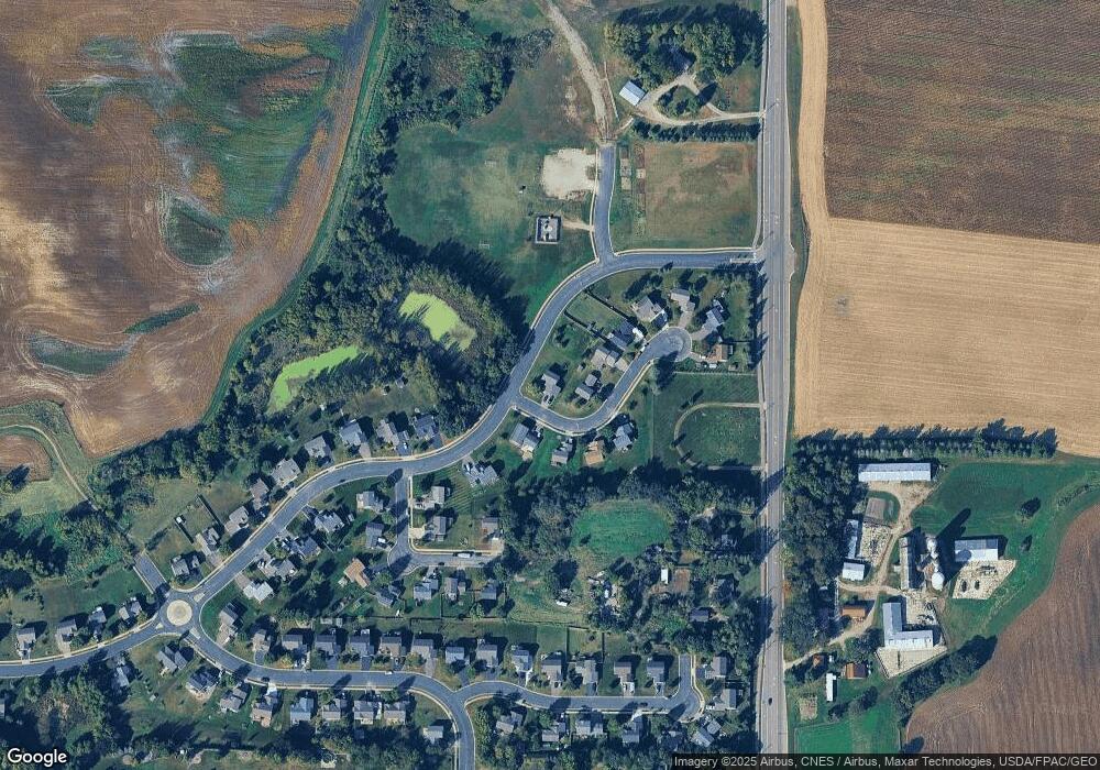
Map
Nearby Homes
- 935 Aspen Ln
- 703 7th St N
- 726 7th St N
- 643 Fieldcrest Ave N
- 645 Fieldcrest Ave N
- 692 Aspen Ln
- Cameron Plan at Northridge
- Granite Plan at Northridge
- Perkins Plan at Northridge
- Harris Plan at Northridge
- 690 Aspen Ln
- 699 Aspen Ln
- 697 Aspen Ln
- 695 Aspen Ln
- 693 Aspen Ln
- 684 Aspen Ln
- 691 Aspen Ln
- 689 Aspen Ln
- 687 Aspen Ln
- 685 Aspen Ln
- 1013 Loveland Cir
- 1011 Loveland Cir
- 1016 Loveland Cir
- 1009 Loveland Cir
- 1014 Loveland Cir
- 1014 1014 Loveland-Circle-
- 1010 Loveland Cir
- 1012 Loveland Cir
- 1018 Aspen Ln
- 1007 Loveland Cir
- 921 Aspen Ln
- 915 Steamboat Ln
- 919 Steamboat Ln
- 1005 Loveland Cir
- 1001 Loveland Cir
- 923 Aspen Ln
- 1003 Loveland Cir
- 917 Steamboat Ln
- 9XX Steamboat Ln
- 925 Aspen Ln